- Alla avslutade föremål
- /
- Stockholms Auktionsverk Magasin 5
- /
- Böcker, Kartor & Handskrifter
- /
- Kartor
- /
2 HEMISPHERE MAPS BY EULER, ca 1770.
Auktionen är avslutad, men kanske gillar du följande föremål?

Bilder


Beskrivning
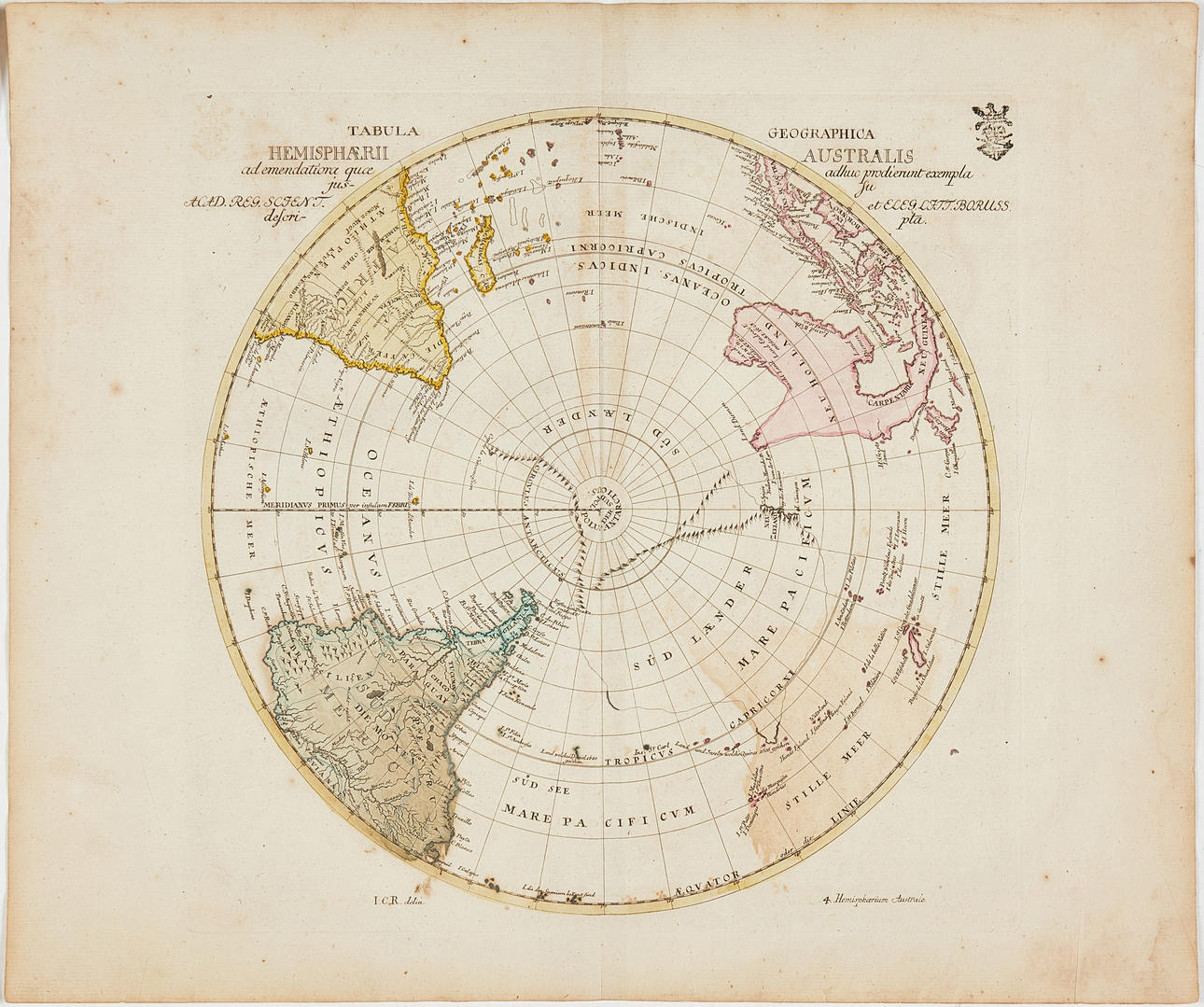
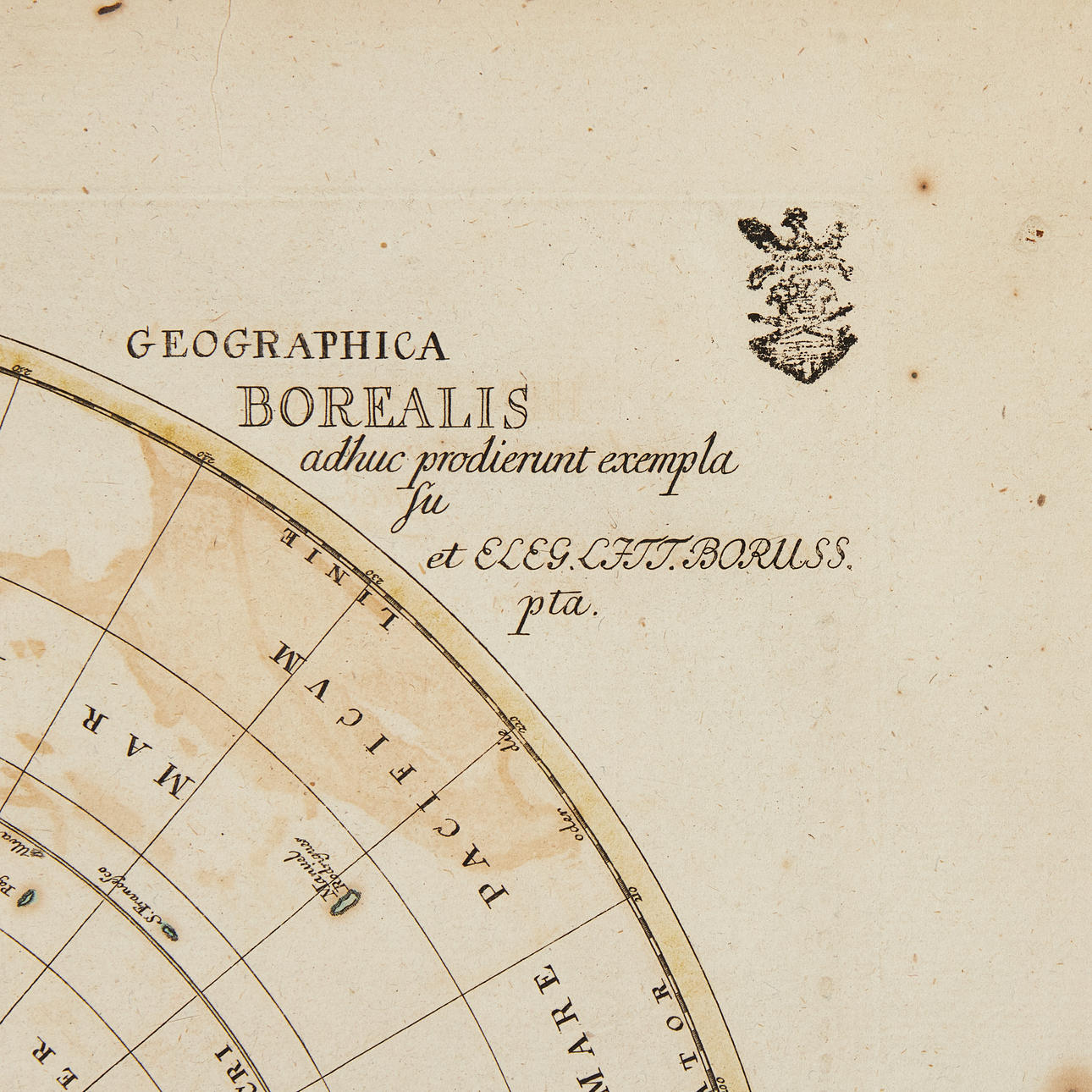
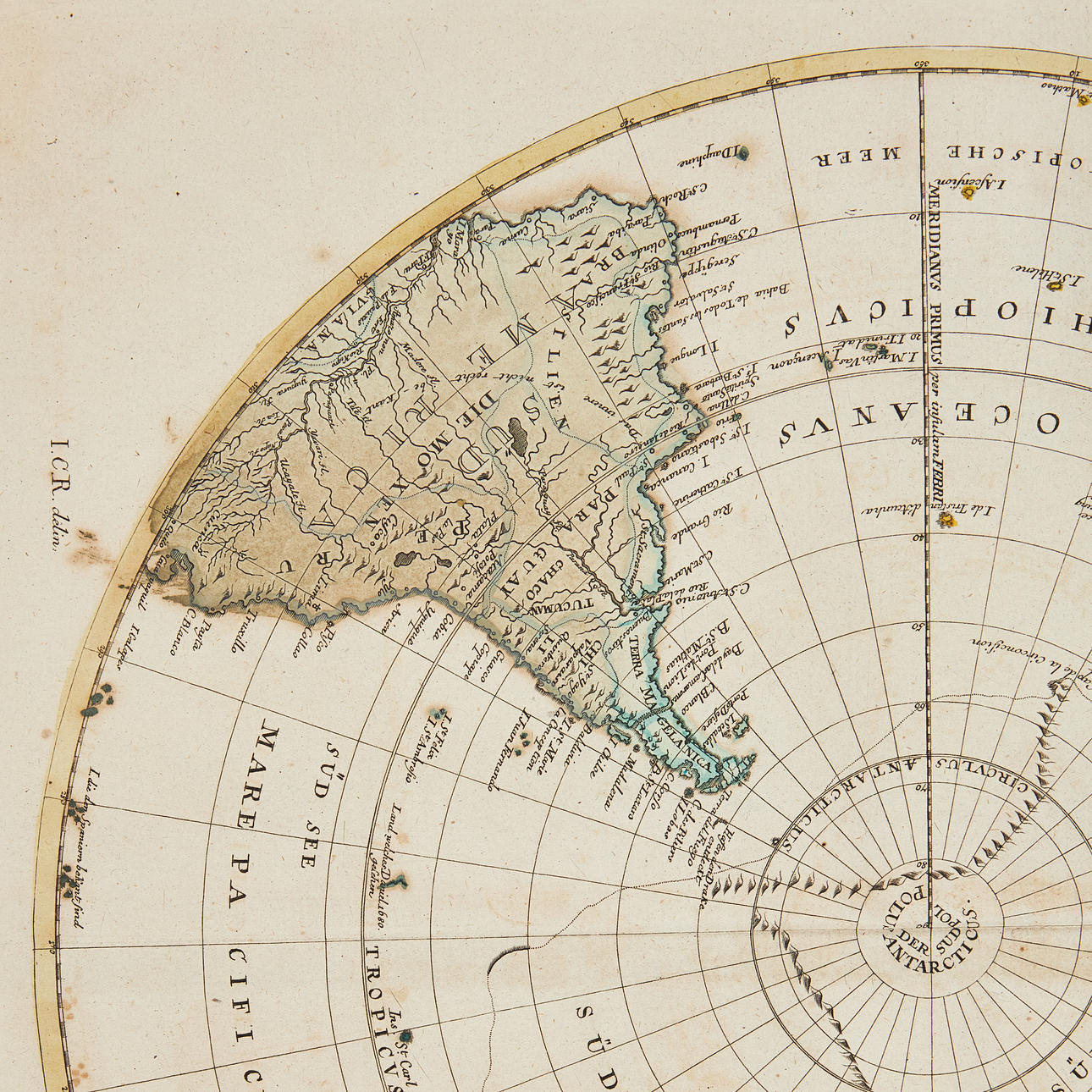
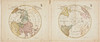
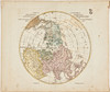
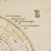
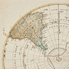
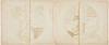
EULER, LEONHARD. Tabula geographica hemisphaerii australis /.../ Tabula geographica hemisphaerii borealis... Berlin ca 1770.
2 hand-coloured engraved maps of the north and south hemisphere, c. 325x385 mm.
From: Euler, Geographischer Atlas bestehend in 44 Land-Charten, worauf alle Theile des Erd-Creyses vorgestellet werden.
Leonhard Euler 1707-1783.
Konditionsrapport
Can be rolled.
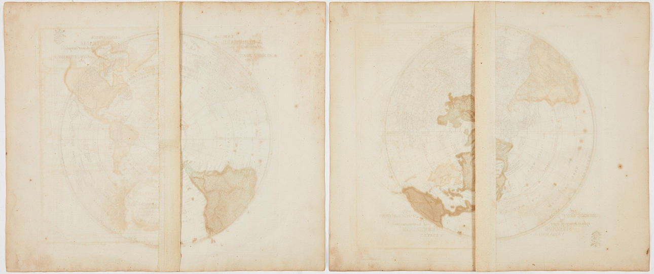
Some spotting and staining, a few creases. Owner's stamp in the margin. Centrefold as issued.
Har du något liknande att sälja? Gör en kostnadsfri värdering!
Beskrivning
EULER, LEONHARD. Tabula geographica hemisphaerii australis /.../ Tabula geographica hemisphaerii borealis... Berlin ca 1770.
2 hand-coloured engraved maps of the north and south hemisphere, c. 325x385 mm.
From: Euler, Geographischer Atlas bestehend in 44 Land-Charten, worauf alle Theile des Erd-Creyses vorgestellet werden.
Leonhard Euler 1707-1783.
Konditionsrapport
Can be rolled.
Some spotting and staining, a few creases. Owner's stamp in the margin. Centrefold as issued.
Har du något liknande att sälja? Gör en kostnadsfri värdering!