MAP / CHART, "Map of Åland and Turku Archipelago", Gust. by Klint, 19th century.

Images
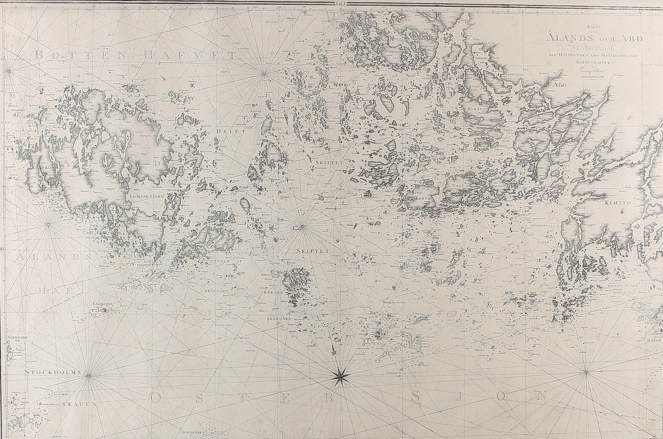
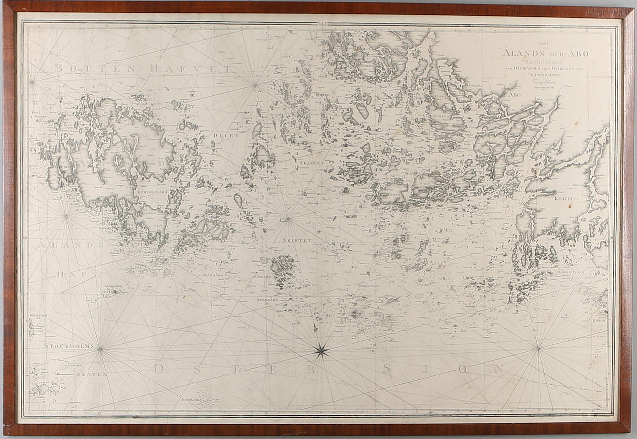
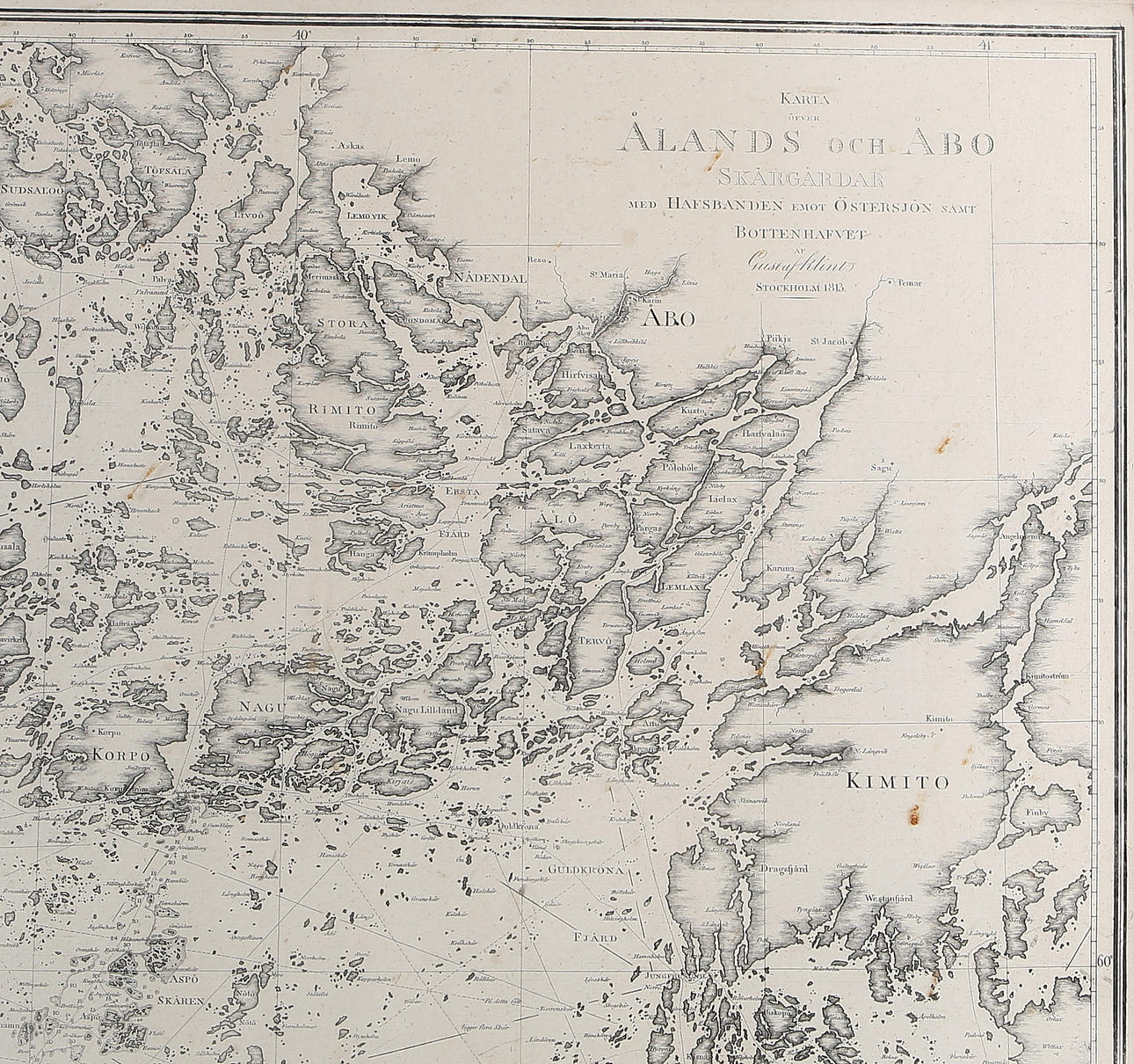
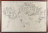
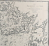
980838. MAP / CHART, "Map of Åland and Turku Archipelago", Gust. by Klint, 19th century.
Description
Condition
Wear, stains. Not examined out of frame.
The item details are approximate automatic translations. Auctionet.com is not responsible for any translation errors. Hide the original Swedish texts.Show the original Swedish texts.