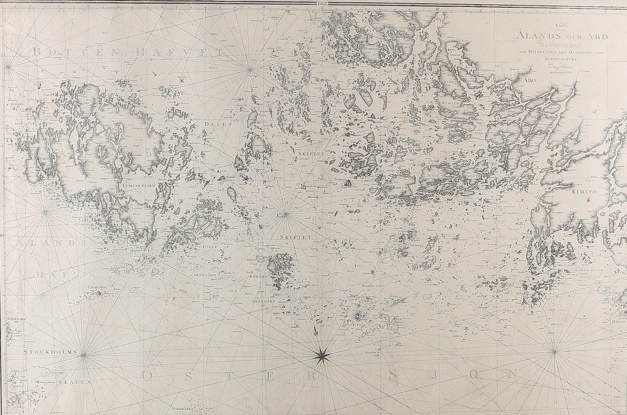
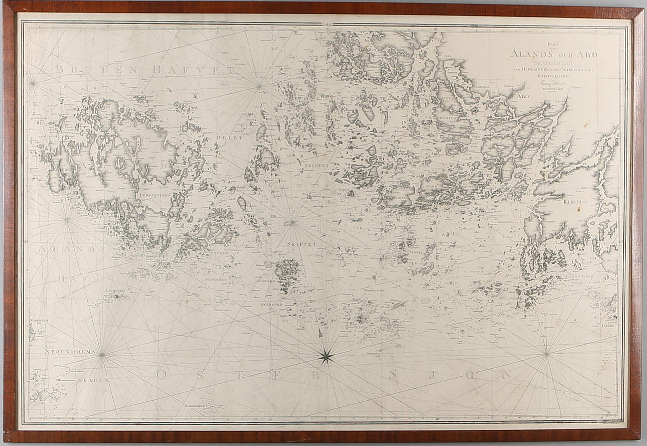
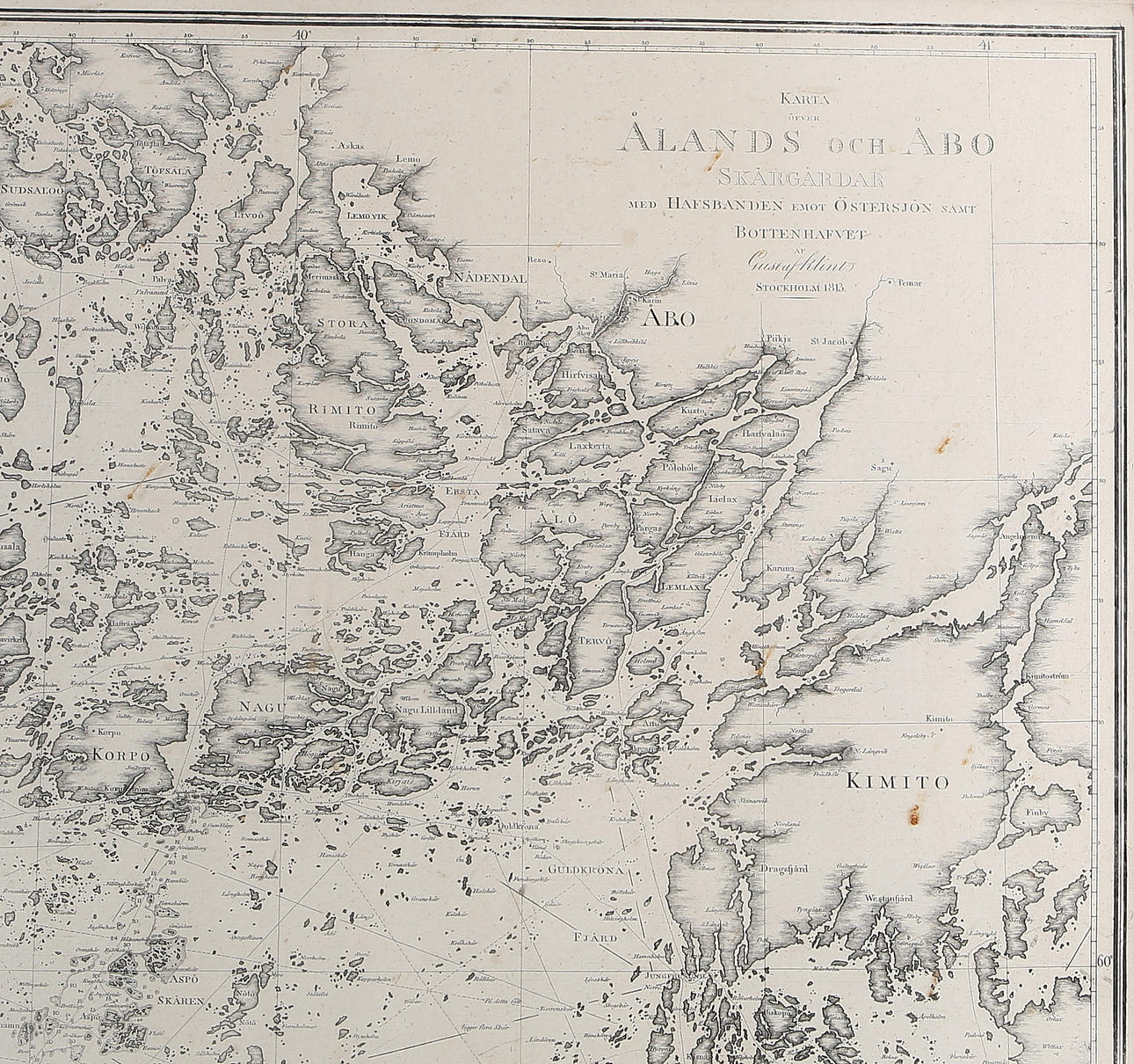
MAP / CHART, "Map of Åland and Turku Archipelago", Gust. by Klint, 19th century.

Images

MAP / CHART, "Map of Åland and Turku Archipelago", Gust. by Klint, 19th century.
980838. MAP / CHART, "Map of Åland and Turku Archipelago", Gust. by Klint, 19th century.

Description

Map Above the Åland and Turku archipelagos with the sea bands facing the Baltic Sea and the bottom sea of Gust. by Klint Stockholm 1813.
Grave. by CG Lundgren.

Condition

Wear, stains. Not examined out of frame.

The item details are approximate automatic translations. Auctionet.com is not responsible for any translation errors. Show the original Swedish texts.

Do you have something similar to sell? Get your items valued free of charge!

Bidding

Highest bid:
100 EUR
Estimate: 136 EUR
Ends in:
Sold
16 Jan 2019 at 05:07 EST
Got something similar to sell?
Have your item valued free of charge.

Bid history

5 15 Jan, 12:25100 EUR
7 A 15 Jan, 12:2595 EUR
7 A 15 Jan, 12:2591 EUR
Show all 17 bids
980838. MAP / CHART, "Map of Åland and Turku Archipelago", Gust. by Klint, 19th century.

Description

Map Above the Åland and Turku archipelagos with the sea bands facing the Baltic Sea and the bottom sea of Gust. by Klint Stockholm 1813.
Grave. by CG Lundgren.

Condition

Wear, stains. Not examined out of frame.

The item details are approximate automatic translations. Auctionet.com is not responsible for any translation errors. Show the original Swedish texts.

Do you have something similar to sell? Get your items valued free of charge!

Details

Visits: 3,212