This auction is closed, but maybe you like the following items?
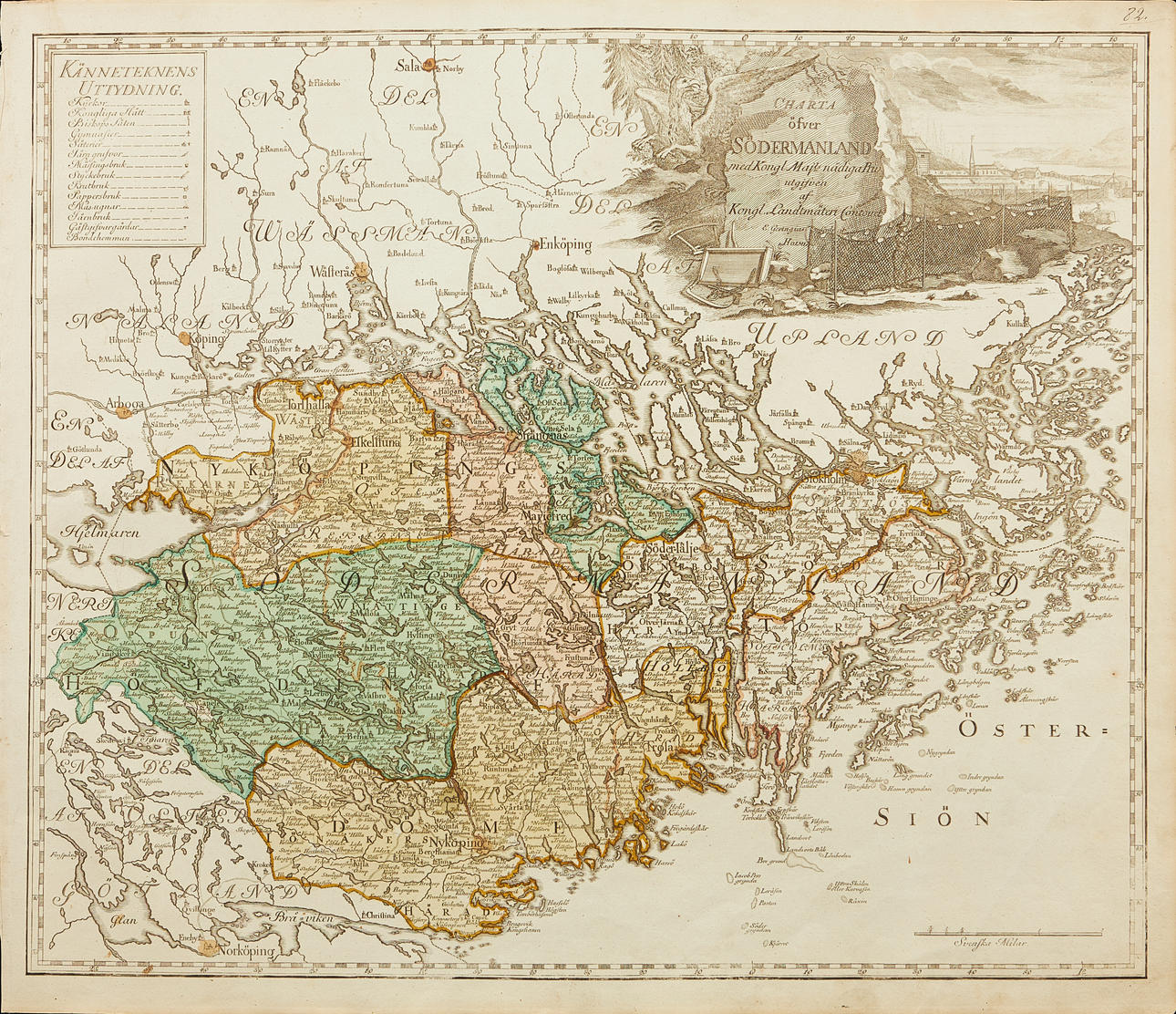
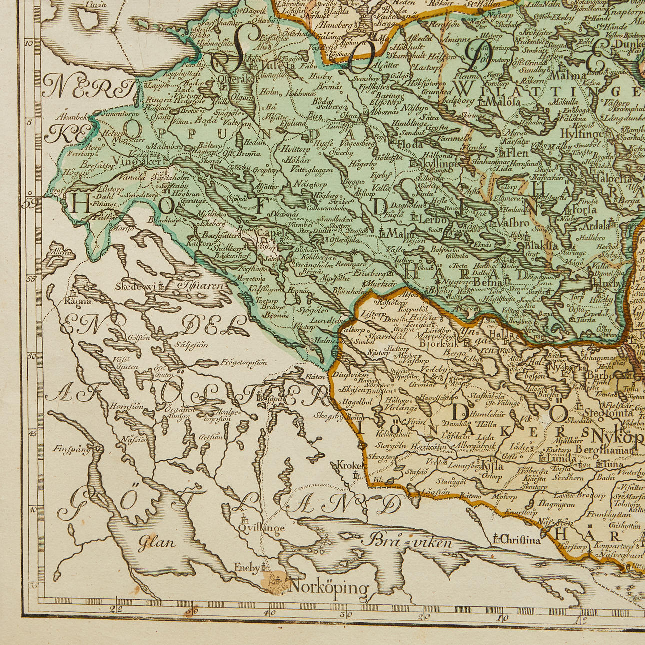
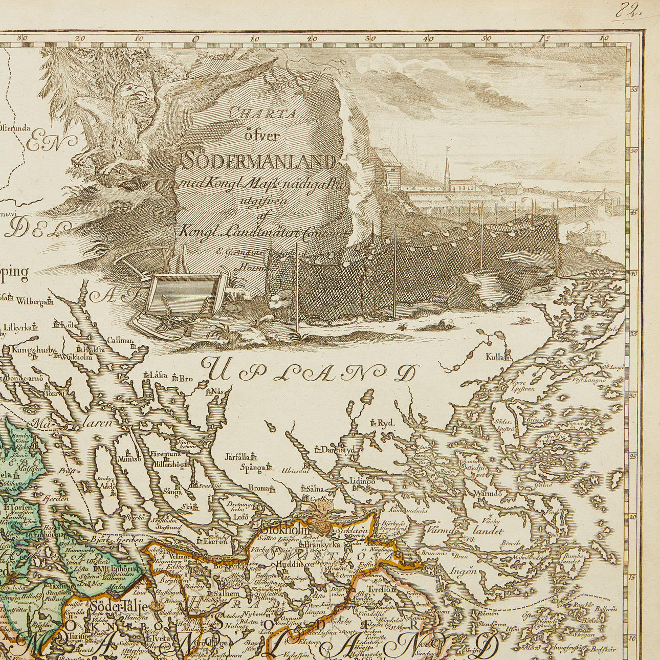
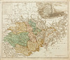
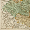
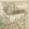
4914522. MAP OF SÖDERMANLAND, CA 1740s.
Images
4914522. MAP OF SÖDERMANLAND, CA 1740s.
Description
Charter of Södermanland (..) Kongl. Land Survey Contoiret, c. 1740s.
Approx. 500 x 580 mm. Engraved map in contemporary hand colouring with large figurative cartouche in black and white. Without center folds.
The map was issued by Kongl. Landtmäteri Contoiret as part of a larger project intended to survey Sweden and Finland in the years 1739-1793.