This auction is closed, but maybe you like the following items?
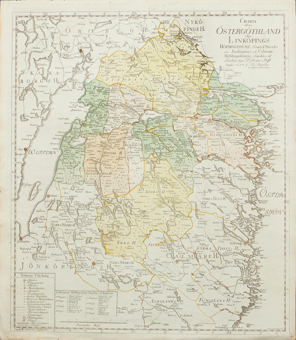
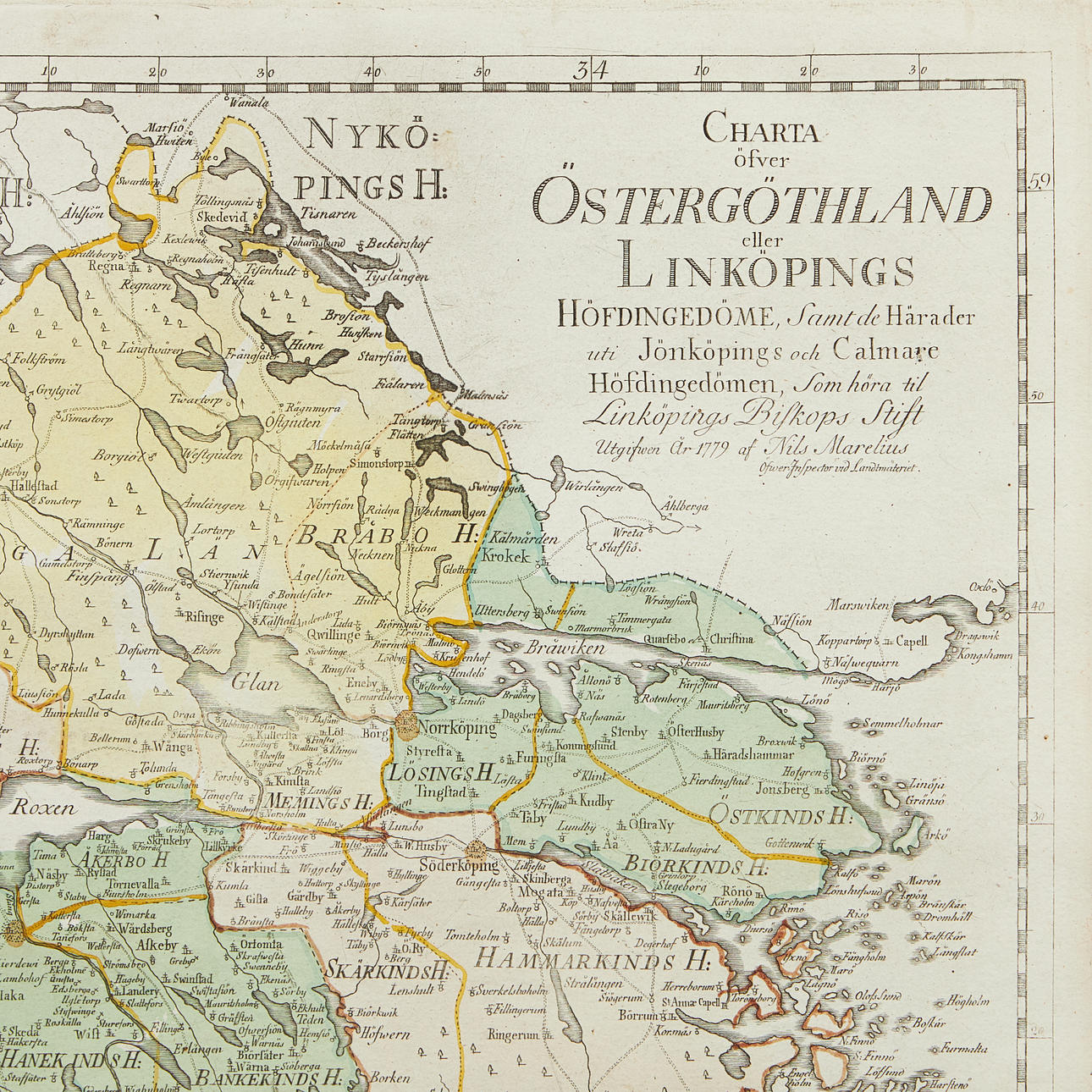
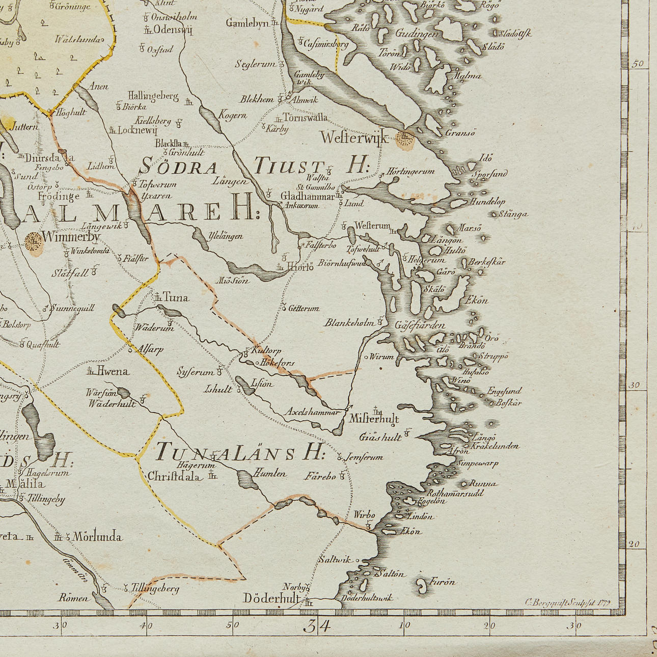
4913469. MAP OF ÖSTERGÖTLAND, MARELIUS, 1779.
Images
4913469. MAP OF ÖSTERGÖTLAND, MARELIUS, 1779.
Description
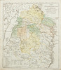
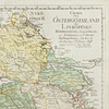
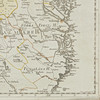
MARELIUS, NILS. The charta öfwer Öfwer Öfwer Östergöthland, or Linköping's chiefdom, and they determine the chiefdoms of Jönköping and Calmare, which belong to the dioceses of the Bishop of Linköping. (Surveyor's Office), 1779.
Approx. 580 x 495 mm. Engraved map with contemporary hand colouring. Without center folds.
The map was issued by Kongl. Landtmäteri Contoiret as part of a larger project intended to survey Sweden and Finland in the years 1739-1793.