MAP, Christianstad County, dated 1834.

Images
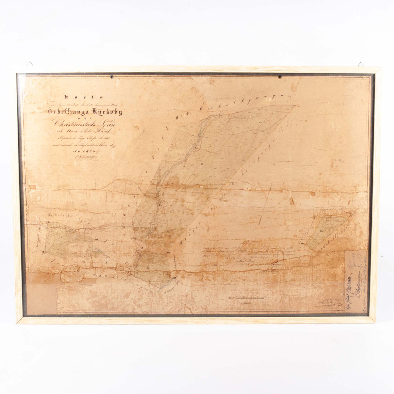
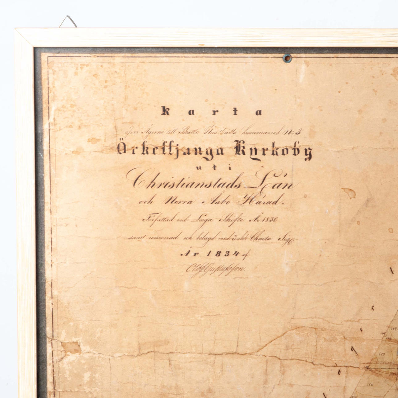

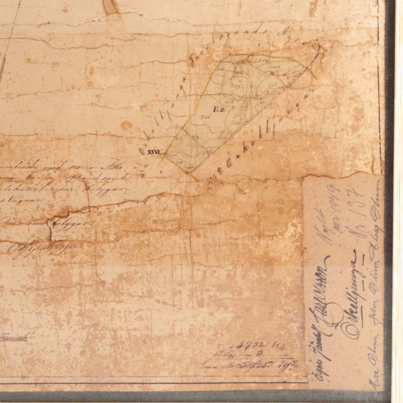
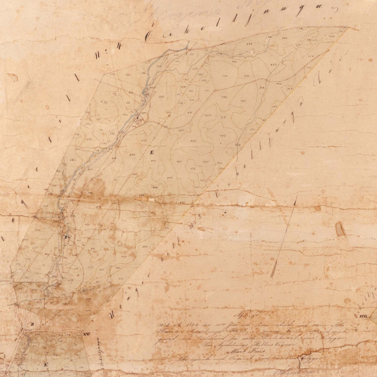
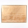
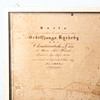

4381451. MAP, Christianstad County, dated 1834.
Description
Condition
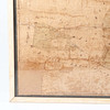
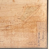
Injuries.
The item details are approximate automatic translations. Auctionet.com is not responsible for any translation errors. Hide the original Swedish texts.Show the original Swedish texts.