HENRI CHATELAIN (1684-1743). Map of the Othoman Empire.

Images
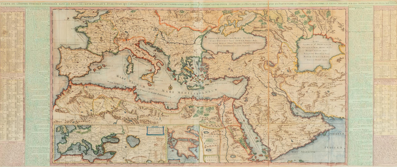
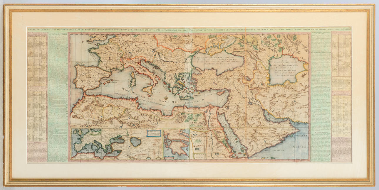

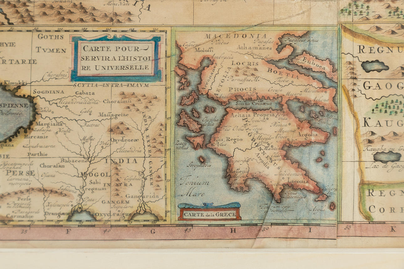

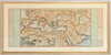
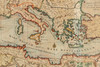
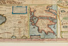
3979426. HENRI CHATELAIN (1684-1743). Map of the Othoman Empire.
Description
Condition
The map consists of two parts, the right part loosely attached. There are traces of creases. Not framed, examined.
Resale right
The item details are approximate automatic translations. Auctionet.com is not responsible for any translation errors. Hide the original German texts.Show the original German texts.