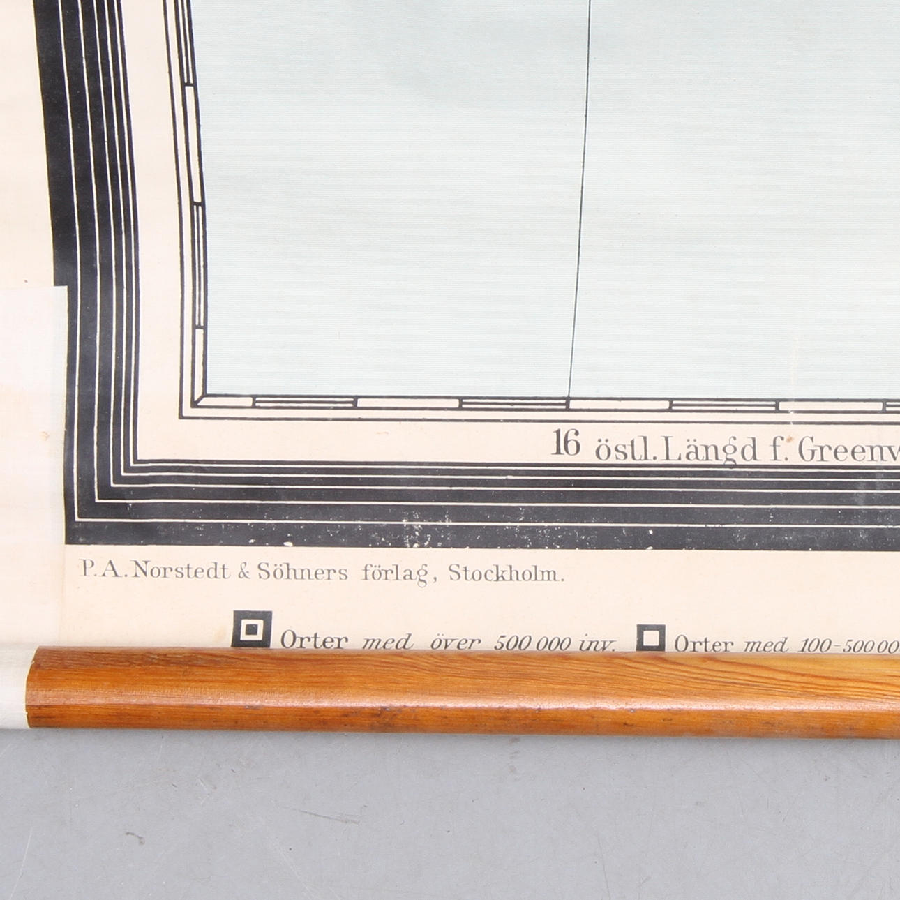
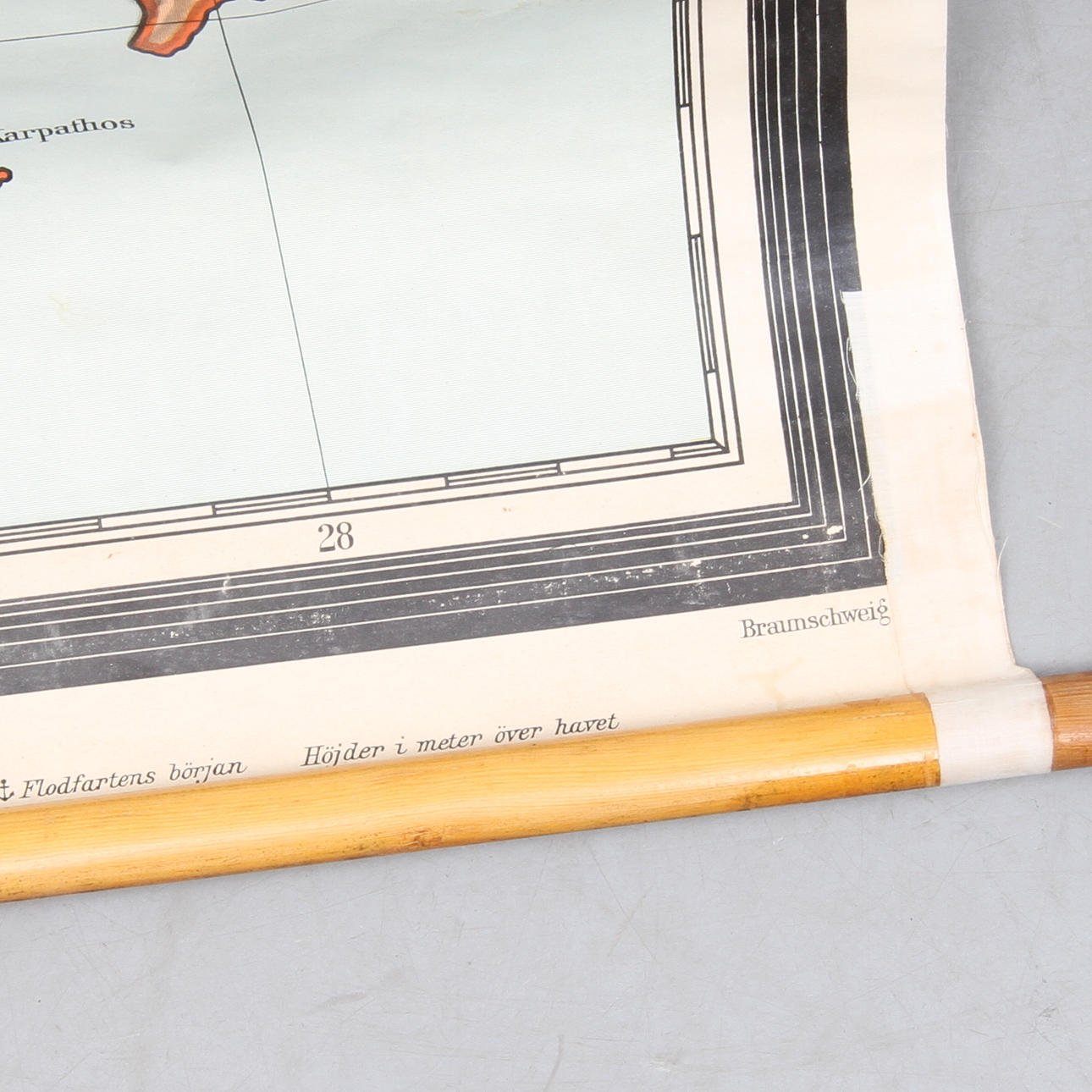
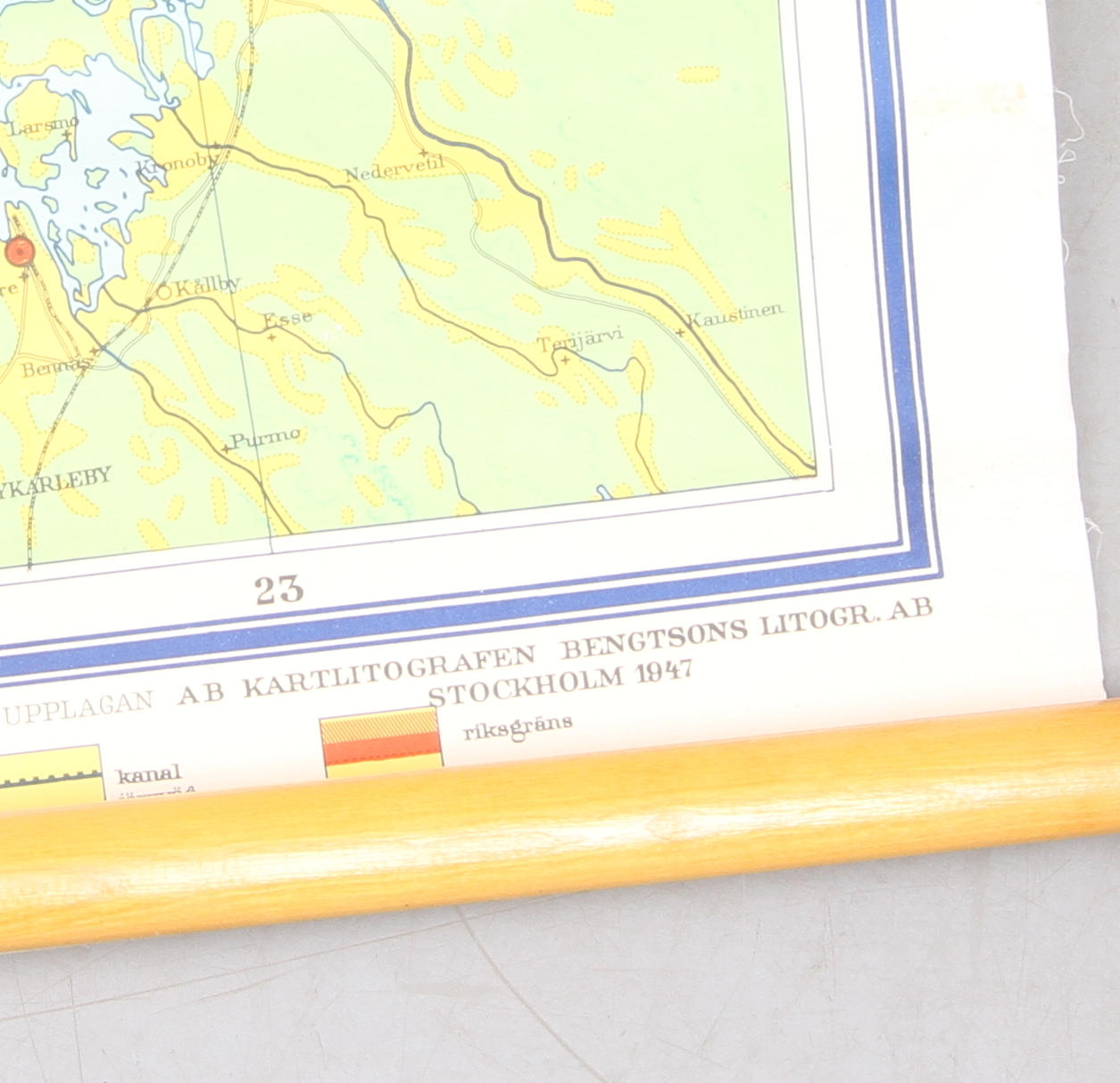
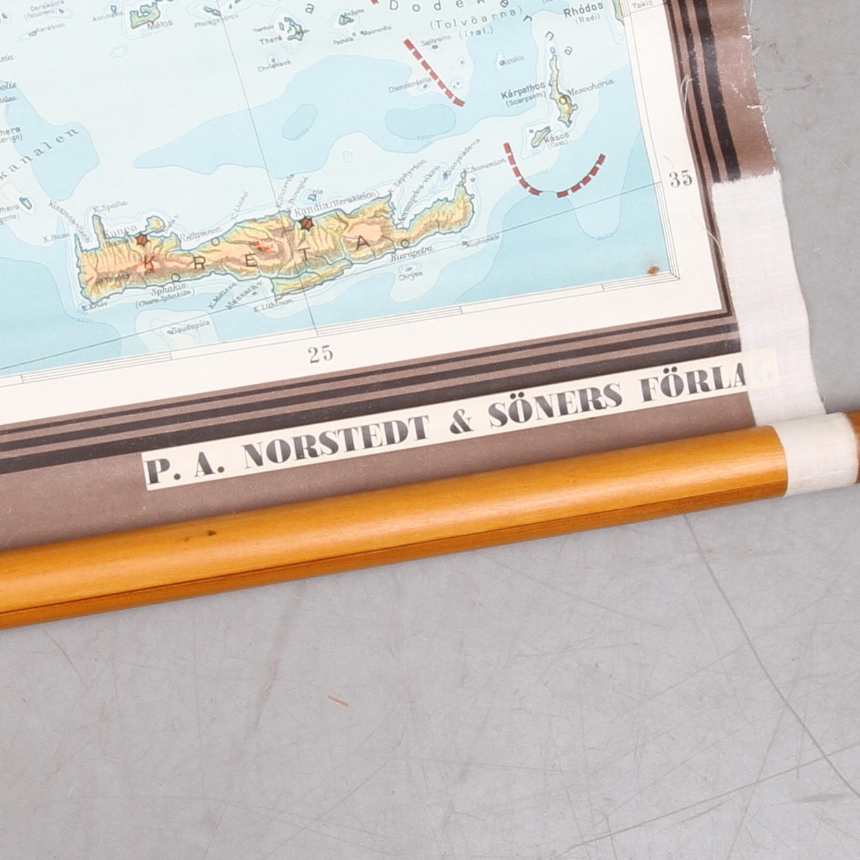
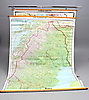
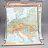
SCHOOL MAPS, 3 pcs, 1900s.

This auction is closed, but maybe you like the following items?


Images

SCHOOL MAPS, 3 pcs, 1900s.
357605. SCHOOL MAPS, 3 pcs, 1900s.

Description

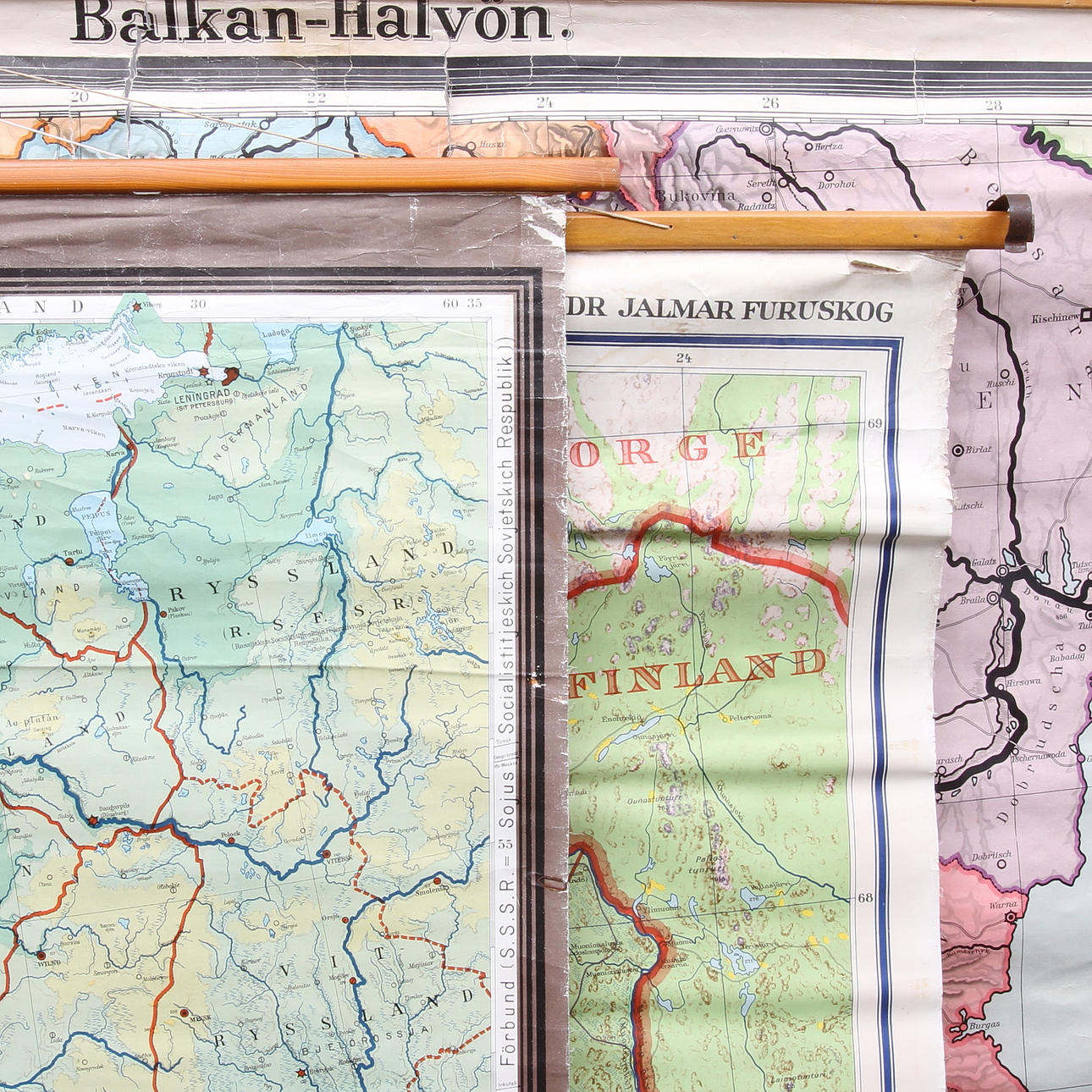
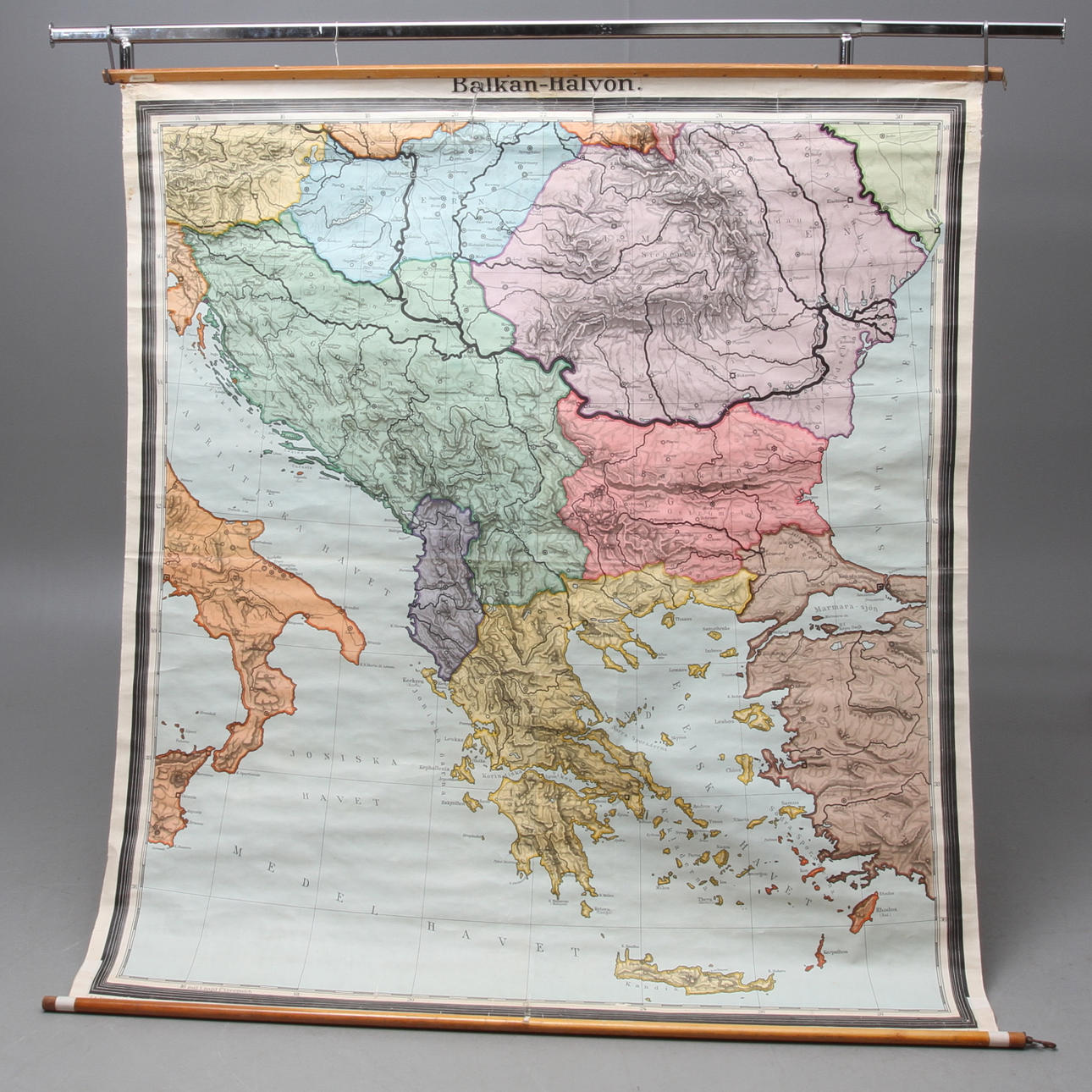
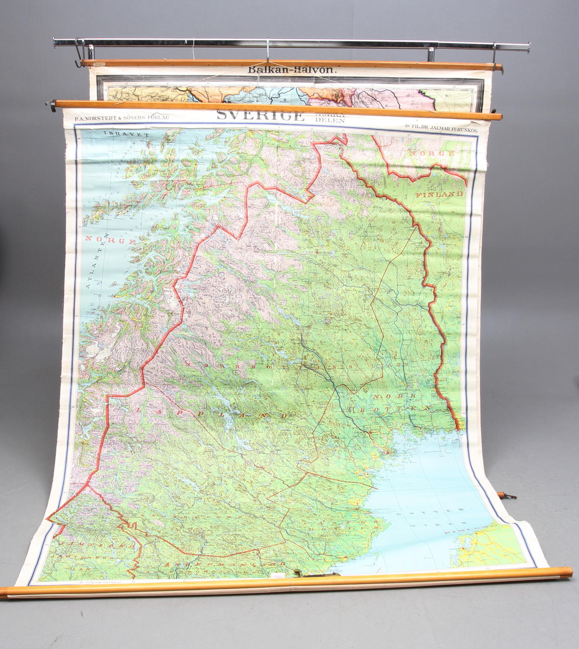
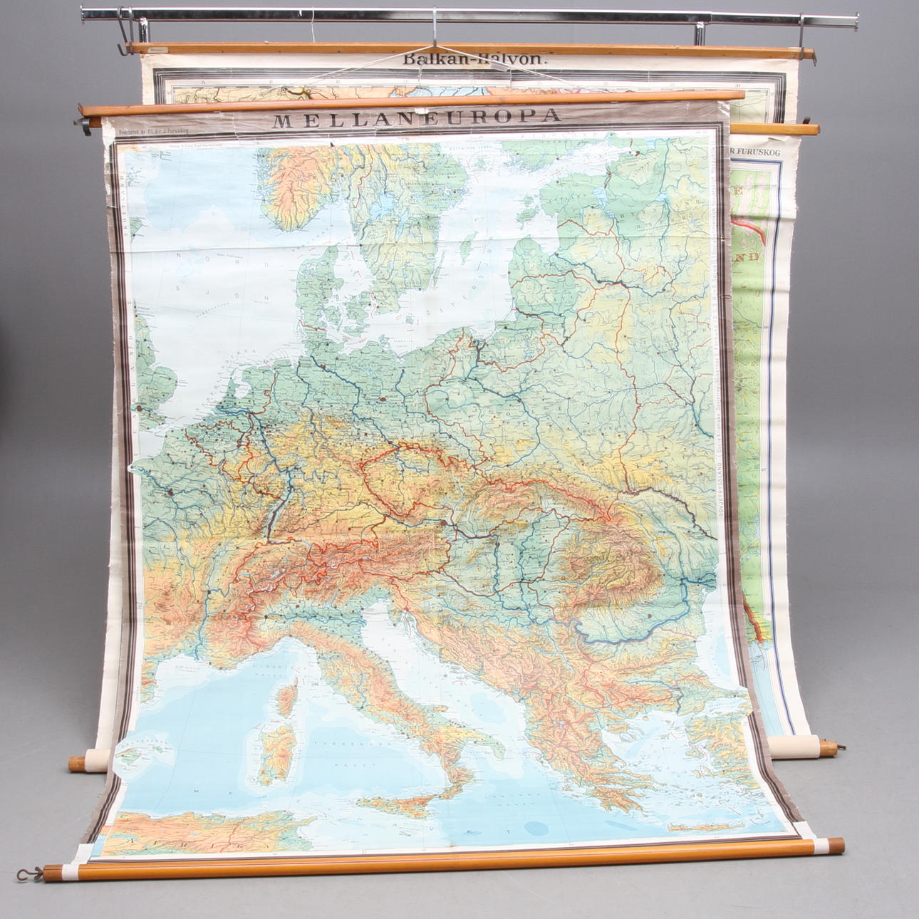
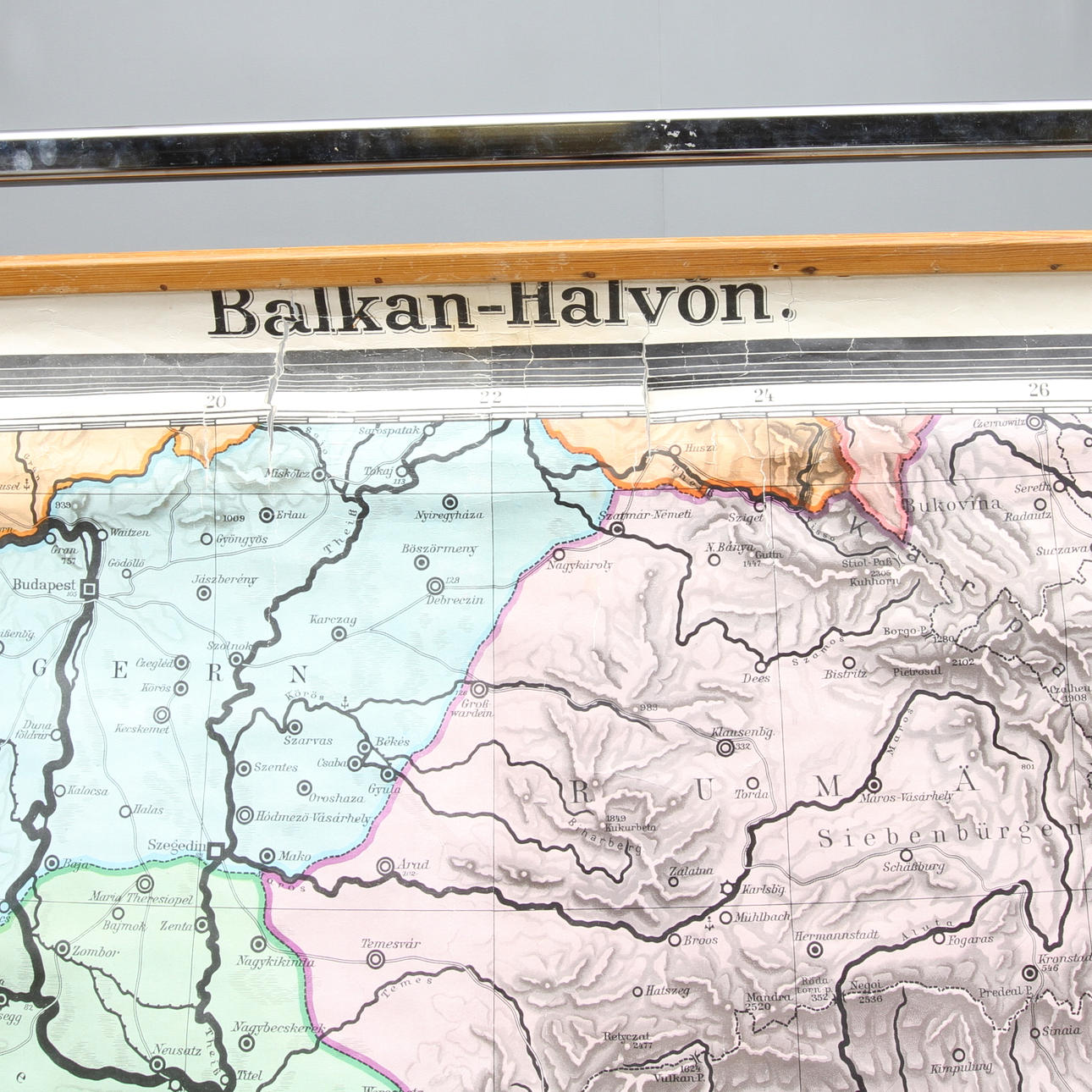
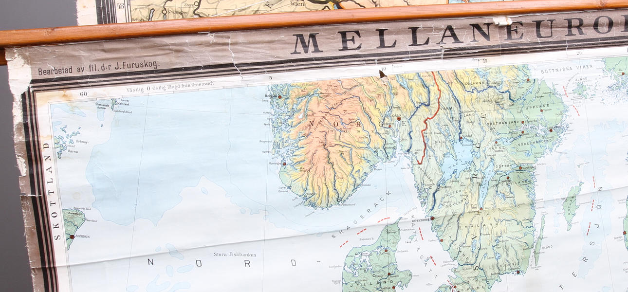
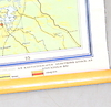
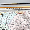
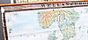
Sweden - the northern part, the Balkan peninsula and central Europe. Largest map dimensions approx; 230 x 170 cm.

Condition

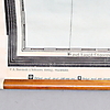
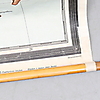
Extensive wear, damage, stains.

Item details have been automatically translated. We are not responsible for translation errors.

Do you have something similar to sell? Get your items valued free of charge!

Bidding

Loading…
Got something similar to sell?
Have your item valued free of charge.
357605. SCHOOL MAPS, 3 pcs, 1900s.

Description

Sweden - the northern part, the Balkan peninsula and central Europe. Largest map dimensions approx; 230 x 170 cm.

Condition

Extensive wear, damage, stains.

Item details have been automatically translated. We are not responsible for translation errors.

Do you have something similar to sell? Get your items valued free of charge!

Details

Visits: 716