MAP , "Sveciae Regnum", Giovanni Botero, ca 1596/97.

Images
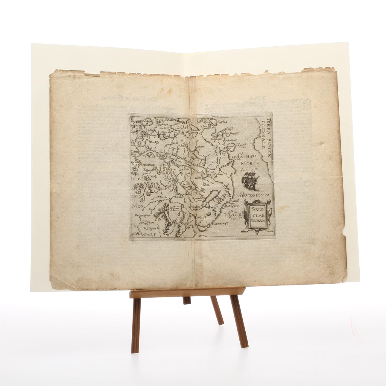
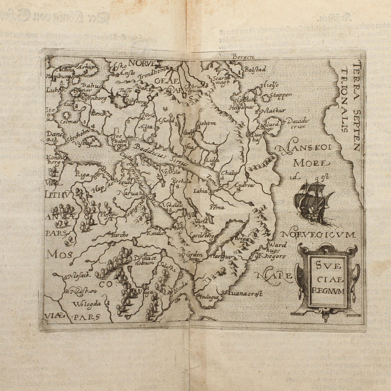
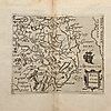
350663. MAP , "Sveciae Regnum", Giovanni Botero, ca 1596/97.
Description
Condition
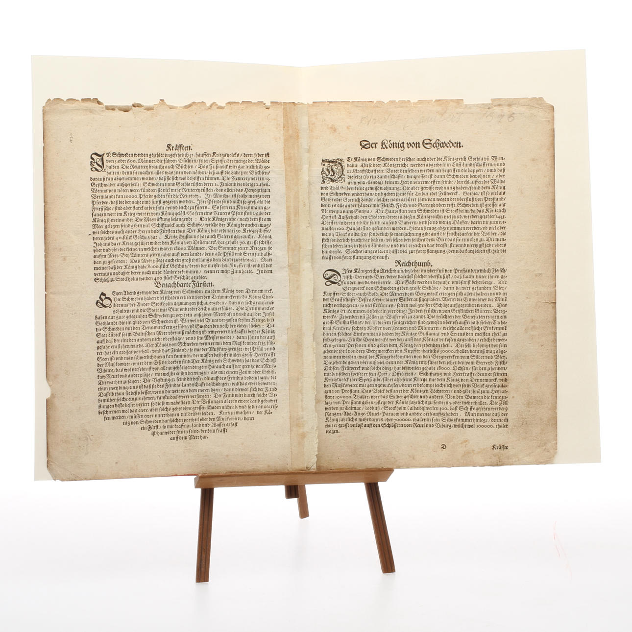
With pencil written on verso "Andre Lambert 1596" Wear, damage, stains. Weight, for assembly in book form, older renovation in the form of reinforcement during assembly.
Item details have been automatically translated. We are not responsible for translation errors. Hide the original Swedish texts.Show original in Swedish.