Gothenburg. 14 colored maps.
This auction is closed, but maybe you like the following items?

Images


Description
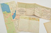
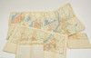
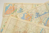
-Gothenburg's parishes, boroughs and roots. Three different prints. 36x24cm
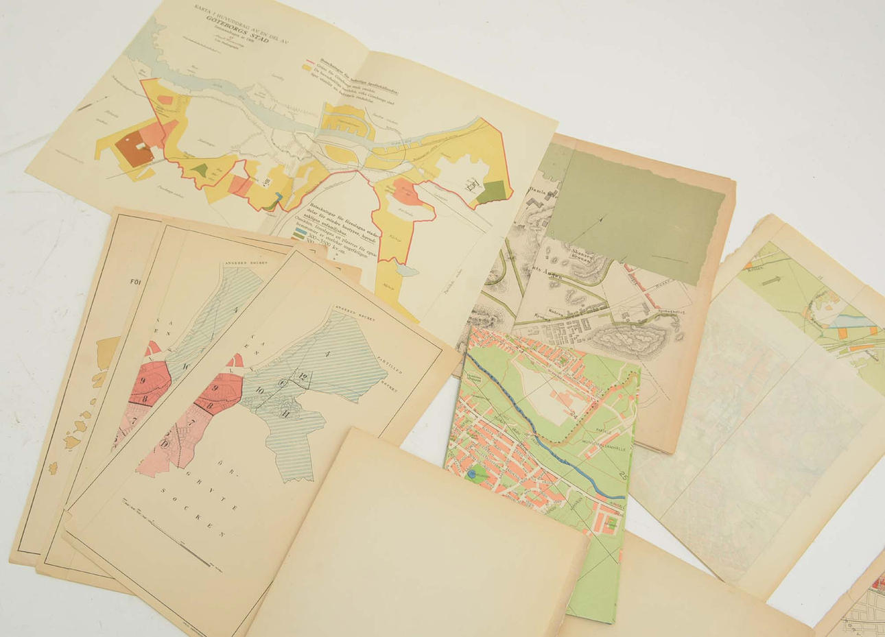
-City Engineer Office's map of Gothenburg 1936. 70x56cm
-Tourist map of Gothenburg 1959. 67x50cm
-City Engineer Office's map of Gothenburg in 1927. 70x50cm
-City Engineer Office's map of Gothenburg in 1933. 70x56cm
-City Engineer Office's map of Gothenburg in 1930. 70x56cm
-Map in outline of a part of the city of Gothenburg in 1908. 31x22cm
-Map of proposed street regulation in the suburbs of Majorna and Masthugget near Gothenburg in 1876. 96x45cm
-Tourist map of Gothenburg 1950. 57x40cm
-Map of Gothenburg. 41x23cm
-Map of Gothenburg. Revised in 1914. 41x23cm
-Map of Gothenburg. Revised in 1917. 41x23cm.
Condition
Traces of use. taken out of band.
Riss.
Do you have something similar to sell? Get your items valued free of charge!
Description
-Gothenburg's parishes, boroughs and roots. Three different prints. 36x24cm
-City Engineer Office's map of Gothenburg 1936. 70x56cm
-Tourist map of Gothenburg 1959. 67x50cm
-City Engineer Office's map of Gothenburg in 1927. 70x50cm
-City Engineer Office's map of Gothenburg in 1933. 70x56cm
-City Engineer Office's map of Gothenburg in 1930. 70x56cm
-Map in outline of a part of the city of Gothenburg in 1908. 31x22cm
-Map of proposed street regulation in the suburbs of Majorna and Masthugget near Gothenburg in 1876. 96x45cm
-Tourist map of Gothenburg 1950. 57x40cm
-Map of Gothenburg. 41x23cm
-Map of Gothenburg. Revised in 1914. 41x23cm
-Map of Gothenburg. Revised in 1917. 41x23cm.
Condition
Traces of use. taken out of band.
Riss.
Do you have something similar to sell? Get your items valued free of charge!