MAP OF AMERICA BY EULER, ca 1770.

Bilder
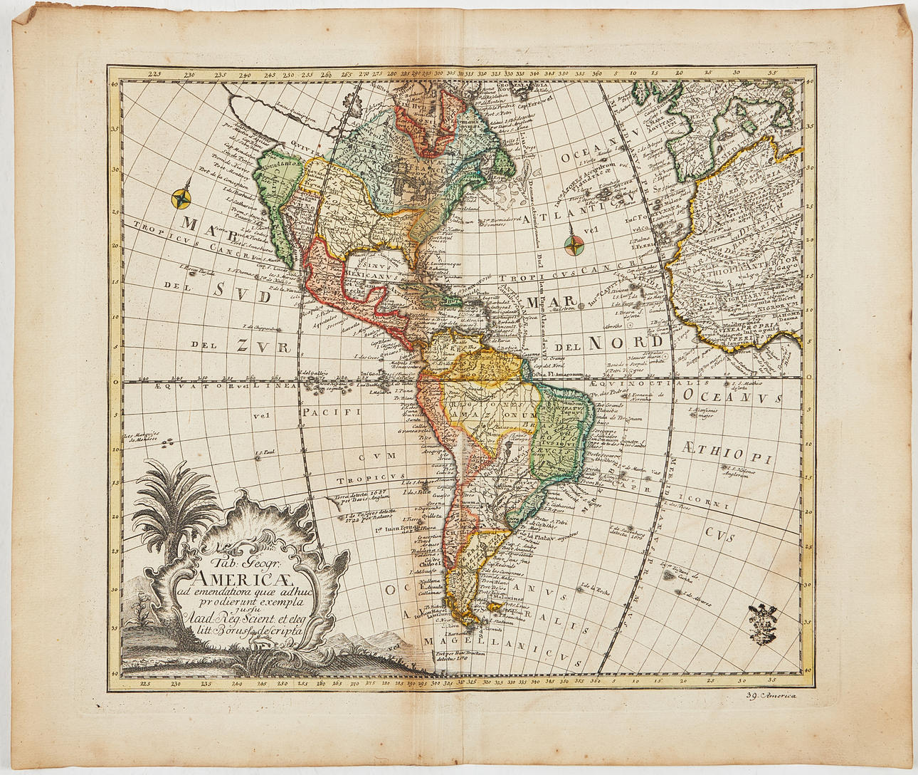
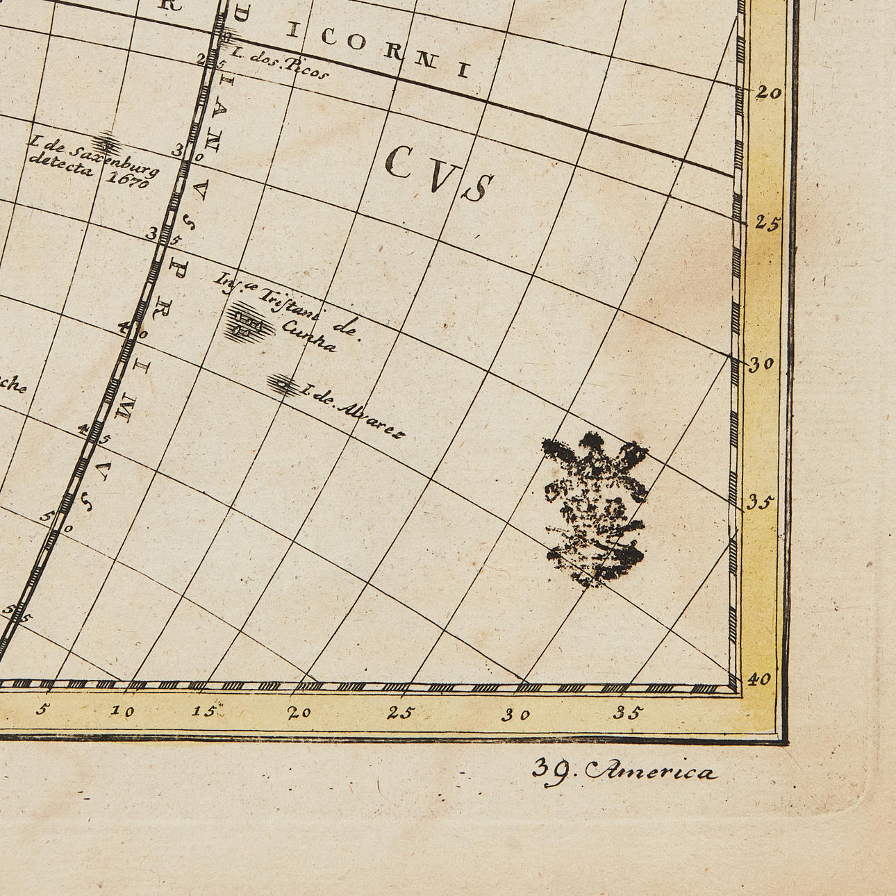
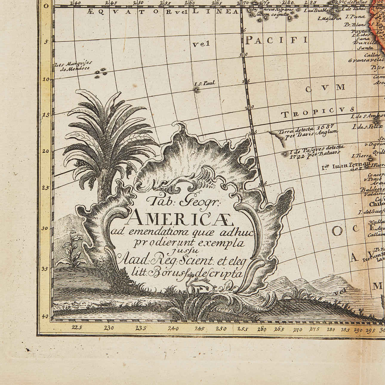
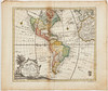
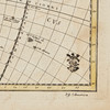
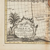
4885019. MAP OF AMERICA BY EULER, ca 1770.
Beskrivning
Konditionsrapport
Can be rolled.
Some spotting and staining, mostly marginal, a few creases. Centrefold as issued, browning near fold, wear to part of fold.