BRAUN/HOGENBERG, Alexandria, 1575.
This auction is closed, but maybe you like the following items?

Images
Description
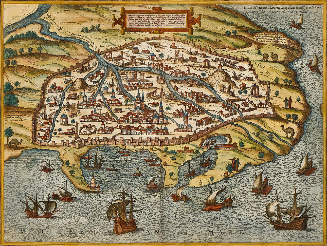
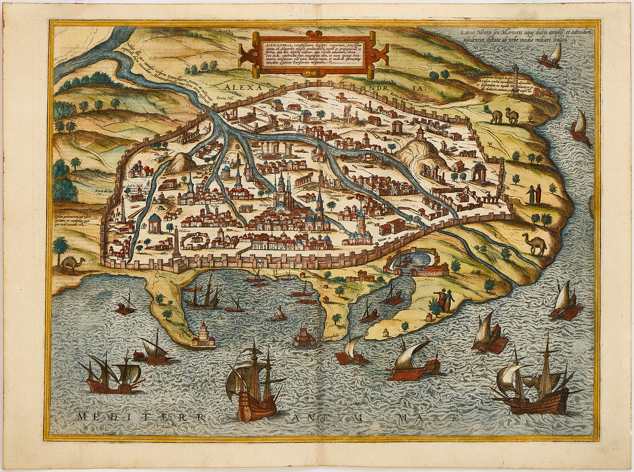
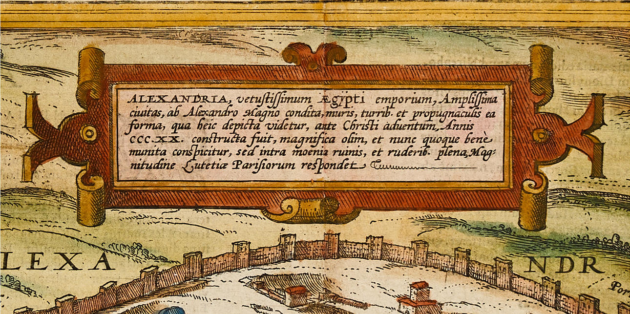
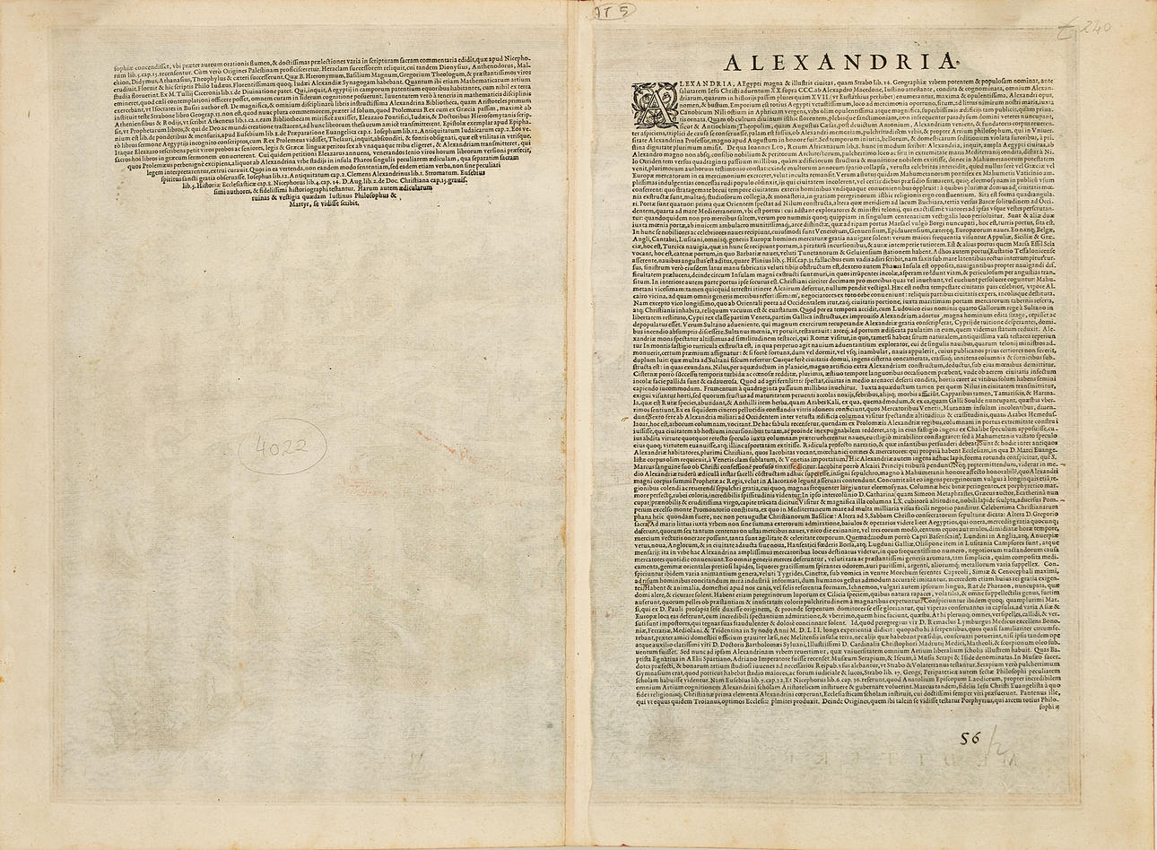
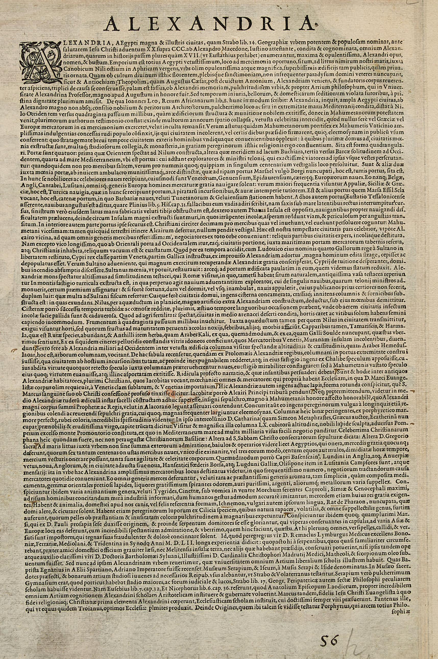
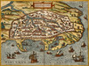
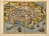
Georg Braun (1541-1622)/Frans Hogenberg (c. 1535-1590), "Alexandria, Vetustissimum Ægypti emporium, Amplissima civitas, ab Alexandro Magno condita...", engraved and hand-coloured view of Alexandria, from "Civitates Orbis Terrarum", 1575, Latin text.
Plate: 36.5 x 48.3 cm.
Sheet: 39.7 x 54.4 cm.
LITERATURE: Koeman 66 [41A], 1575.
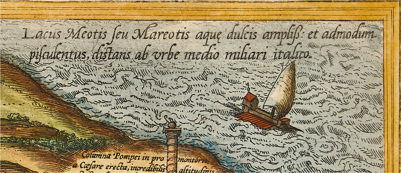
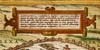
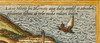
The map shows the walled city of Alexandria from a bird's-eye perspective with the mosque and Domus Alexandri Magni in focus. At the top center is the title cartouche, the surrounding landscape with camels and people, as well as the sea with numerous ships and triremes, and in the upper right corner a column ("Columna Pompeii"). The famous lighthouse ("Ganophalo") is centrally located in the lower part of the image, one of the seven wonders of the ancient world.
The copperplate engraving was originally published in the first atlas of cities, "Civitates Orbis Terrarum", which is also one of the most important geographical and cartographic works of the modern era. The main publisher was Georg Braun, a German theologian who, together with scientists and clergymen, wrote the Latin texts with information on history, geography, architecture, economy, and culture for various regions. The work is an important historical source for the planning of the modern city and is supplemented with bird's-eye views of cities and their surroundings. The first volume was published in 1572 in Cologne, and the work eventually consisted of 6 volumes with over 500 illustrations published over a span of 45 years. The atlas contains views of various cities in Europe, North Africa, the Middle East, Asia, and parts of America. The non-European cities make up only a dozen or so, which reflects the very limited knowledge of geography outside Europe during the 16th century. Many famous geographers and cartographers collaborated on the creation of the work. Central to its creation was Frans Hogenberg (1535-1590), a Flemish/German painter and engraver who engraved the majority of the cityscapes in "Civitates Orbis Terrarum".
After Frans Hogenberg's death, the plates were kept in Cologne as an inheritance for his son, Abraham Hogenberg. When Abraham passed away in 1653, the plates were sold to Johannes Janssonius, who in 1657 began publishing the atlas with the city views again. Now in eight volumes and in a completely revised form. The illustrations were arranged by country and a large number of new engravings had been added to the work, while outdated images were excluded. After Janssonius' death in 1664, his grandson, Johannes Janssonius van Waeseberg, inherited the plates and he in turn used some of them for an atlas that was released in 1682. In 1694, the plates were acquired by the prolific publisher Frederick de Wit, who organized a new edition, which was also supplemented with additional engravings. At the turn of the 18th century, the plates were owned by the publisher Pieter van der Aa (1659-1733), who published the atlas in 1729. It in turn consists of a mixture of prints from the plates from the 16th and 17th centuries. Finally, the plates (with de Wit's address) were acquired by the publishing house Coven & Mortier (the business was conducted from 1721 to about 1862).
The various editions that have been printed, and the many reproductions of the images from "Civitates Orbis Terrarum" show the impact that this work had for a very long time. In addition to its historical and scientific significance, the work and the images themselves possess great artistic value, which still today attracts both specialized collectors and passionate art lovers.
Condition
Slightly yellowed. Small defect on the right edge of the sheet.
Unframed.
Theme
Francesco Bacoccoli Collection - The Golden Era of Cartography: Part II
Do you have something similar to sell? Get your items valued free of charge!
Description
Georg Braun (1541-1622)/Frans Hogenberg (c. 1535-1590), "Alexandria, Vetustissimum Ægypti emporium, Amplissima civitas, ab Alexandro Magno condita...", engraved and hand-coloured view of Alexandria, from "Civitates Orbis Terrarum", 1575, Latin text.
Plate: 36.5 x 48.3 cm.
Sheet: 39.7 x 54.4 cm.
LITERATURE: Koeman 66 [41A], 1575.
The map shows the walled city of Alexandria from a bird's-eye perspective with the mosque and Domus Alexandri Magni in focus. At the top center is the title cartouche, the surrounding landscape with camels and people, as well as the sea with numerous ships and triremes, and in the upper right corner a column ("Columna Pompeii"). The famous lighthouse ("Ganophalo") is centrally located in the lower part of the image, one of the seven wonders of the ancient world.
The copperplate engraving was originally published in the first atlas of cities, "Civitates Orbis Terrarum", which is also one of the most important geographical and cartographic works of the modern era. The main publisher was Georg Braun, a German theologian who, together with scientists and clergymen, wrote the Latin texts with information on history, geography, architecture, economy, and culture for various regions. The work is an important historical source for the planning of the modern city and is supplemented with bird's-eye views of cities and their surroundings. The first volume was published in 1572 in Cologne, and the work eventually consisted of 6 volumes with over 500 illustrations published over a span of 45 years. The atlas contains views of various cities in Europe, North Africa, the Middle East, Asia, and parts of America. The non-European cities make up only a dozen or so, which reflects the very limited knowledge of geography outside Europe during the 16th century. Many famous geographers and cartographers collaborated on the creation of the work. Central to its creation was Frans Hogenberg (1535-1590), a Flemish/German painter and engraver who engraved the majority of the cityscapes in "Civitates Orbis Terrarum".
After Frans Hogenberg's death, the plates were kept in Cologne as an inheritance for his son, Abraham Hogenberg. When Abraham passed away in 1653, the plates were sold to Johannes Janssonius, who in 1657 began publishing the atlas with the city views again. Now in eight volumes and in a completely revised form. The illustrations were arranged by country and a large number of new engravings had been added to the work, while outdated images were excluded. After Janssonius' death in 1664, his grandson, Johannes Janssonius van Waeseberg, inherited the plates and he in turn used some of them for an atlas that was released in 1682. In 1694, the plates were acquired by the prolific publisher Frederick de Wit, who organized a new edition, which was also supplemented with additional engravings. At the turn of the 18th century, the plates were owned by the publisher Pieter van der Aa (1659-1733), who published the atlas in 1729. It in turn consists of a mixture of prints from the plates from the 16th and 17th centuries. Finally, the plates (with de Wit's address) were acquired by the publishing house Coven & Mortier (the business was conducted from 1721 to about 1862).
The various editions that have been printed, and the many reproductions of the images from "Civitates Orbis Terrarum" show the impact that this work had for a very long time. In addition to its historical and scientific significance, the work and the images themselves possess great artistic value, which still today attracts both specialized collectors and passionate art lovers.
Condition
Slightly yellowed. Small defect on the right edge of the sheet.
Unframed.
Theme
Francesco Bacoccoli Collection - The Golden Era of Cartography: Part II
Do you have something similar to sell? Get your items valued free of charge!