WEIGEL, Discus Cronologicus Omnium S. R. I. Electorum, 1718.
This auction is closed, but maybe you like the following items?

Images


Description
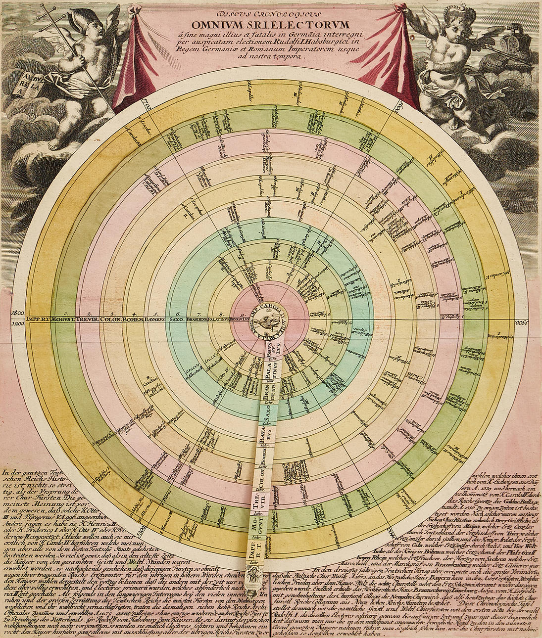
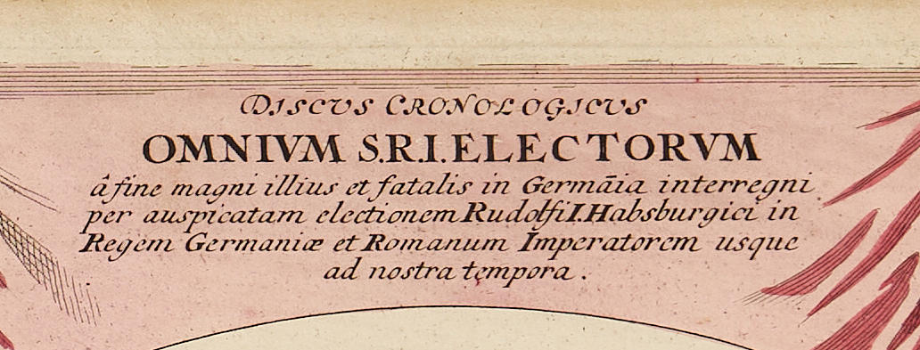
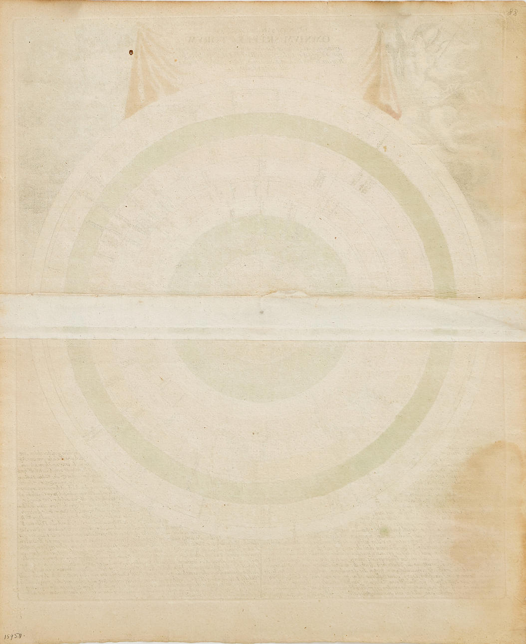
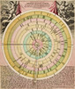
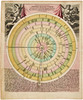
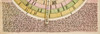
Christoph Weigel (1654-1725), "Discus Cronologicus Omnium S. R. I. Electorum a fine magni illius et fatalis in Germaia interregni per auspicata electionem Rudolf I Habsburgici în Regen Germaniæ bet Romanum Imperatorum usque ad nostra tempora", engraved and hand-coloured circular historical diagram with a movable pointer, from "Bequemer Schul- und Reisen-Atlas/Atlas scholasticus et itinerarius", published by Johann Ernst Adelbulner, Nuremberg 1718.
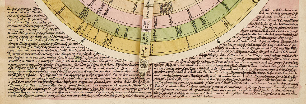
The historical diagram consists of 10 concentric rings where each ring represents a kingdom or sphere of interest. These include the Holy Roman Empire, the Kingdom of Bohemia, the Kingdom of Saxony, and others. On each ring, the name of the ruler is placed at the corresponding position for the year they came to power. The division spans 6 centuries, 60 degrees each, which facilitates a visual overview of historical succession and rule. The dating goes from the 13th century up to and including the 18th century, although the last name is printed in 1716.
A special detail, and one that is often missing, is the movable arm or pointer that helps the viewer show who was ruling at a specific date. The spheres of interest and kingdoms are also indicated on the pointer, which further enhances the interactive aspect of the timeline. This highly innovative design is an early adaptation for visualizing historical data.
Christoph Weigel (the Elder, 1654-1725) was an engraver and publisher active in Nuremberg during the early 18th century. He published 70 books and series of engravings, including the atlas "Descriptio Orbis Antique in XLIV tabulis" (1720). The geographical works and atlases were produced in close collaboration with the cartographer Johann Baptista Homann. Christoph's younger brother, Johann Christoph Weigel (the Younger, 1661-1726), also worked as an engraver and publisher in Nuremberg.
Dimensions:
Height 47 cm
Width 39 cm.
Condition
Yellowed, minor spots. Moisture stain in the lower left part of the image (in the text). Minor defects along the edges of the sheet.
Unframed.
Theme
Francesco Bacoccoli Collection - The Golden Era of Cartography: Part II
Do you have something similar to sell? Get your items valued free of charge!
Description
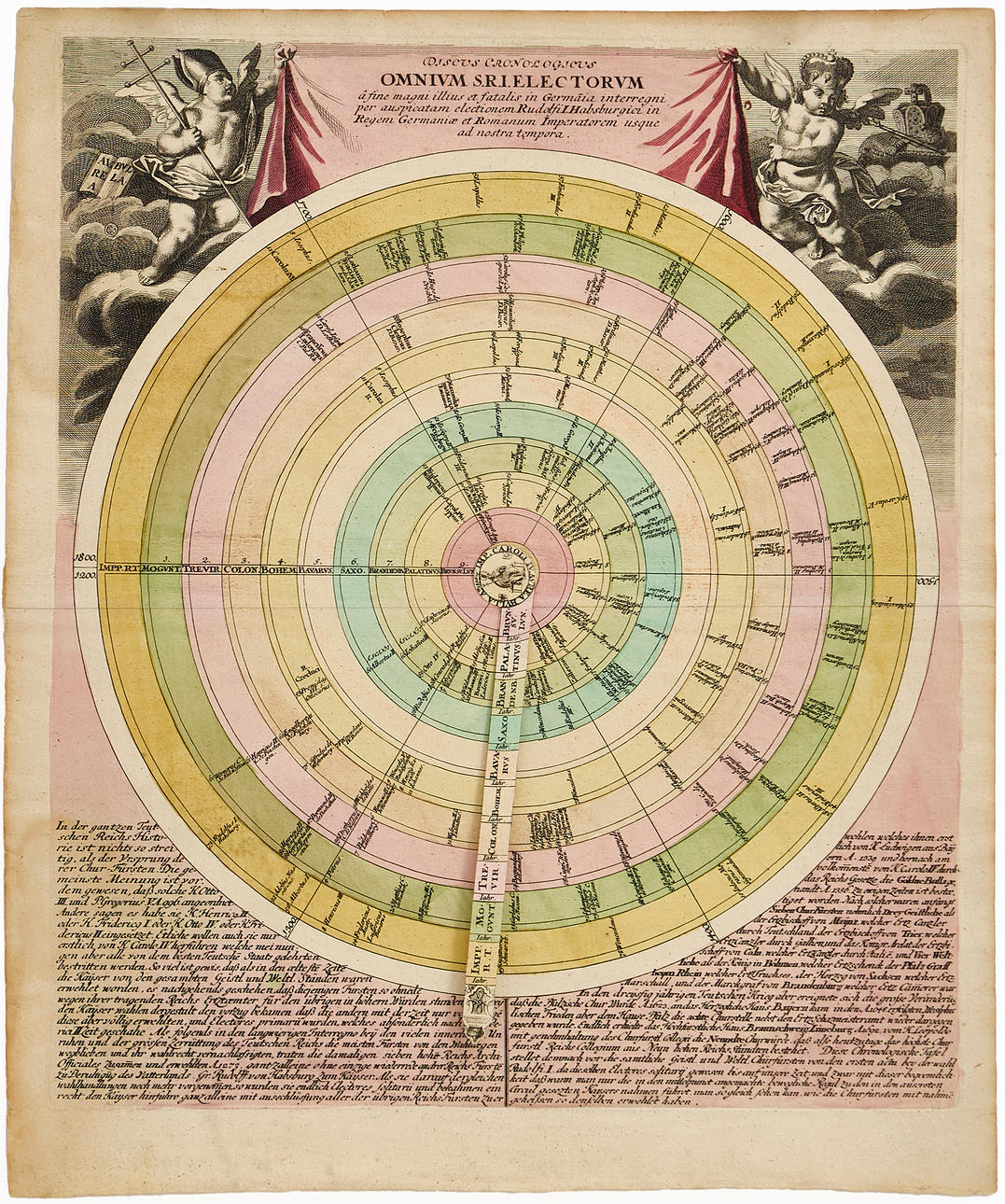
Christoph Weigel (1654-1725), "Discus Cronologicus Omnium S. R. I. Electorum a fine magni illius et fatalis in Germaia interregni per auspicata electionem Rudolf I Habsburgici în Regen Germaniæ bet Romanum Imperatorum usque ad nostra tempora", engraved and hand-coloured circular historical diagram with a movable pointer, from "Bequemer Schul- und Reisen-Atlas/Atlas scholasticus et itinerarius", published by Johann Ernst Adelbulner, Nuremberg 1718.
The historical diagram consists of 10 concentric rings where each ring represents a kingdom or sphere of interest. These include the Holy Roman Empire, the Kingdom of Bohemia, the Kingdom of Saxony, and others. On each ring, the name of the ruler is placed at the corresponding position for the year they came to power. The division spans 6 centuries, 60 degrees each, which facilitates a visual overview of historical succession and rule. The dating goes from the 13th century up to and including the 18th century, although the last name is printed in 1716.
A special detail, and one that is often missing, is the movable arm or pointer that helps the viewer show who was ruling at a specific date. The spheres of interest and kingdoms are also indicated on the pointer, which further enhances the interactive aspect of the timeline. This highly innovative design is an early adaptation for visualizing historical data.
Christoph Weigel (the Elder, 1654-1725) was an engraver and publisher active in Nuremberg during the early 18th century. He published 70 books and series of engravings, including the atlas "Descriptio Orbis Antique in XLIV tabulis" (1720). The geographical works and atlases were produced in close collaboration with the cartographer Johann Baptista Homann. Christoph's younger brother, Johann Christoph Weigel (the Younger, 1661-1726), also worked as an engraver and publisher in Nuremberg.
Dimensions:
Height 47 cm
Width 39 cm.
Condition
Yellowed, minor spots. Moisture stain in the lower left part of the image (in the text). Minor defects along the edges of the sheet.
Unframed.
Theme
Francesco Bacoccoli Collection - The Golden Era of Cartography: Part II
Do you have something similar to sell? Get your items valued free of charge!