MOLINI, Nouvelle Mappemonde, (1806) 1807.
This auction is closed, but maybe you like the following items?

Images
Description
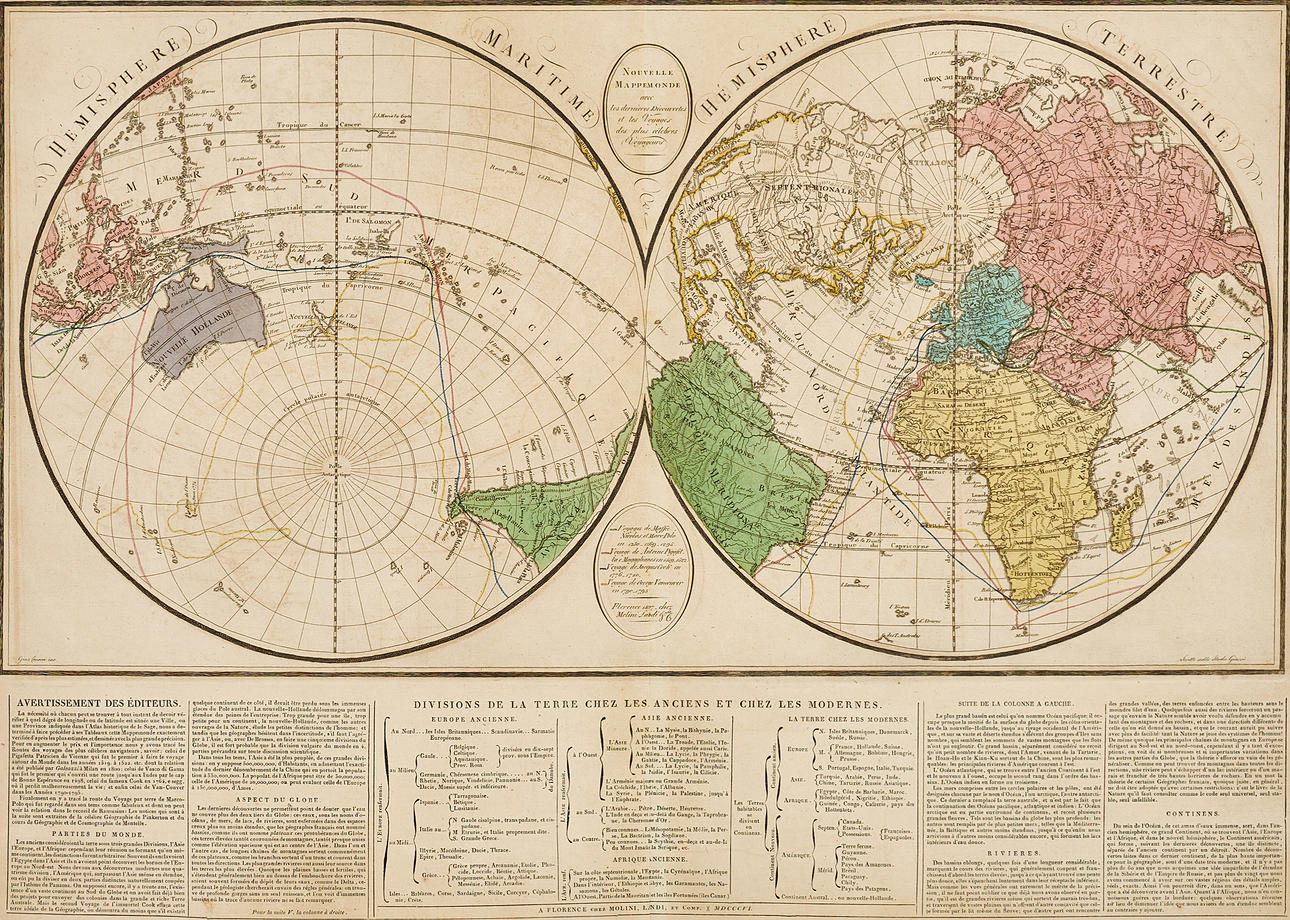
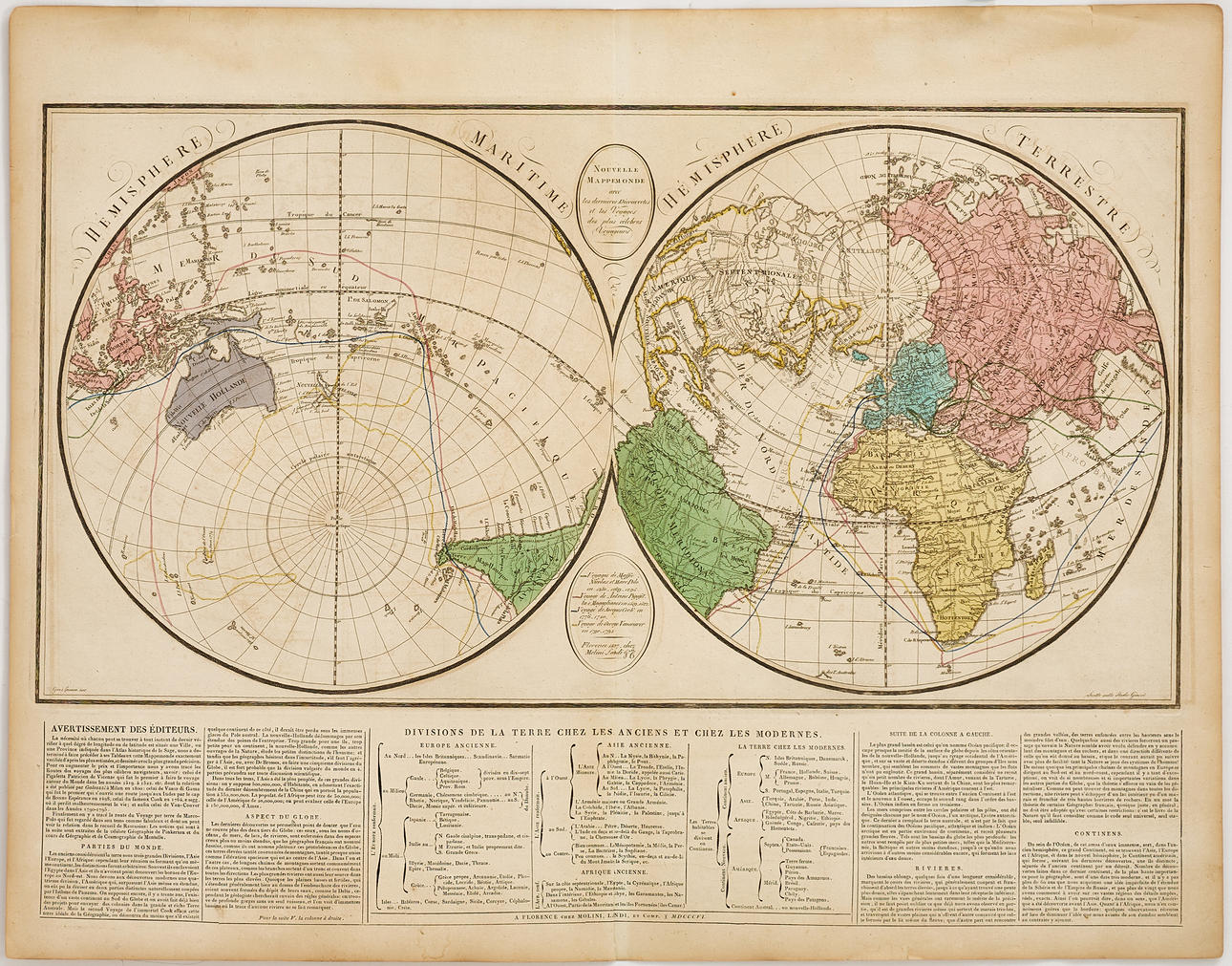
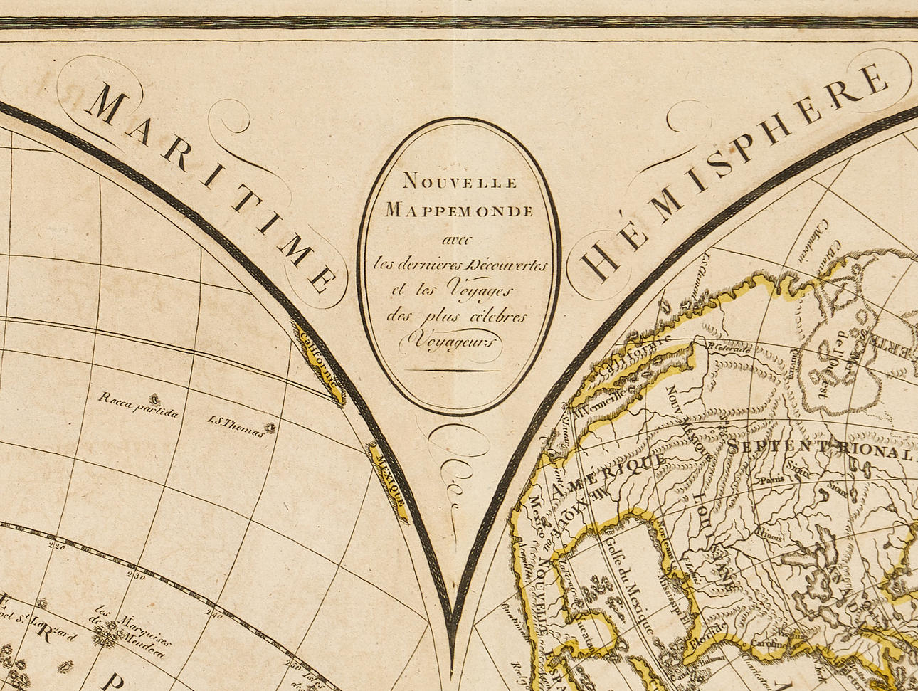
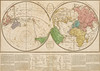
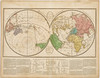
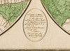
Giuseppe Molini (1772-1856), "Nouvelle Mappemonde avec les derniers Découvertes et les Voyages des plus célebres Voyageurs", engraved and hand-coloured world map, Florence (1806) 1807.
Plate: 34.2 x 64.7 cm.
Sheet: 53.4 x 67.8 cm.
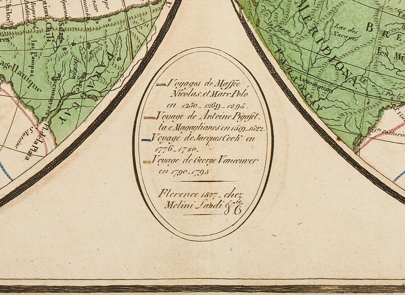
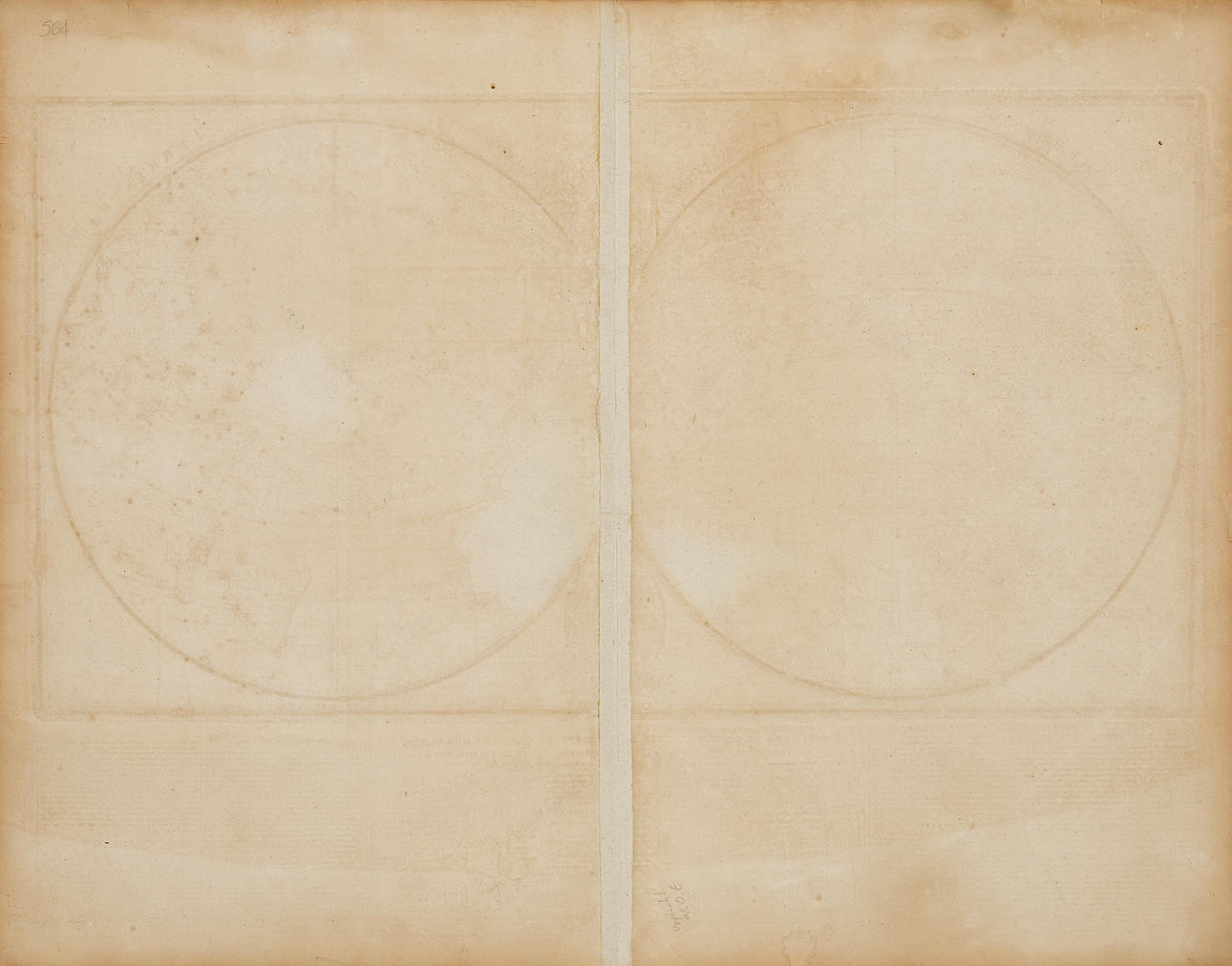
The double-hemisphere map was specifically created for inclusion in Molini and Landi's edition of M. A. Le Sage's [Las Cases (Marie-Joseph-Emmanuel-Dieudonné, comte de)] "Atlas historique, chronologique, et géographique". The map was published in Florence by Molini, Landi, et Comp., 1806, and is distinguished by its unusual division of the globe into a maritime hemisphere and a hemisphere showing landmasses. The routes of the most famous voyages of discovery by Ferdinand Magellan, James Cook, and George Vancouver are indicated, but unusually, also the 13th-century overland journey across Asia by Maffeo, Niccolò, and Marco Polo, as well as their return journey by sea from China via the Persian Gulf.
Below the map image is a large section of text, where the publisher in the "Avertissement des Éditeurs" explains that Le Sage's basic historical descriptions lacked a reliable geographical frame of reference, which the maps, verified against the latest cartographic knowledge of the time, were intended to remedy. It would be easy for the reader to quickly locate cities and places mentioned in the text on the maps.
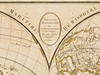
The cartography reflects a transition in geographical knowledge where great accuracy was sought. Despite this, several old inaccuracies from the previous century remain. Most conspicuous is the apocryphal "Mer de l'Ouest", and further west, the coastline of Australia (Nouvelle Hollande) is largely defined by Cook's discoveries, but the southern landmass is depicted as entirely connected to Tasmania (Terre de Diemen).
Condition
Yellowing, spotting, a damp stain in the lower margin. Creases and a few tears (approx. 5-15 mm) along the edges/margin of the sheet.
Unframed.
Theme
Francesco Bacoccoli Collection - The Golden Era of Cartography: Part II
Do you have something similar to sell? Get your items valued free of charge!
Description
Giuseppe Molini (1772-1856), "Nouvelle Mappemonde avec les derniers Découvertes et les Voyages des plus célebres Voyageurs", engraved and hand-coloured world map, Florence (1806) 1807.
Plate: 34.2 x 64.7 cm.
Sheet: 53.4 x 67.8 cm.
The double-hemisphere map was specifically created for inclusion in Molini and Landi's edition of M. A. Le Sage's [Las Cases (Marie-Joseph-Emmanuel-Dieudonné, comte de)] "Atlas historique, chronologique, et géographique". The map was published in Florence by Molini, Landi, et Comp., 1806, and is distinguished by its unusual division of the globe into a maritime hemisphere and a hemisphere showing landmasses. The routes of the most famous voyages of discovery by Ferdinand Magellan, James Cook, and George Vancouver are indicated, but unusually, also the 13th-century overland journey across Asia by Maffeo, Niccolò, and Marco Polo, as well as their return journey by sea from China via the Persian Gulf.
Below the map image is a large section of text, where the publisher in the "Avertissement des Éditeurs" explains that Le Sage's basic historical descriptions lacked a reliable geographical frame of reference, which the maps, verified against the latest cartographic knowledge of the time, were intended to remedy. It would be easy for the reader to quickly locate cities and places mentioned in the text on the maps.
The cartography reflects a transition in geographical knowledge where great accuracy was sought. Despite this, several old inaccuracies from the previous century remain. Most conspicuous is the apocryphal "Mer de l'Ouest", and further west, the coastline of Australia (Nouvelle Hollande) is largely defined by Cook's discoveries, but the southern landmass is depicted as entirely connected to Tasmania (Terre de Diemen).
Condition
Yellowing, spotting, a damp stain in the lower margin. Creases and a few tears (approx. 5-15 mm) along the edges/margin of the sheet.
Unframed.
Theme
Francesco Bacoccoli Collection - The Golden Era of Cartography: Part II
Do you have something similar to sell? Get your items valued free of charge!