This auction is closed, but maybe you like the following items?
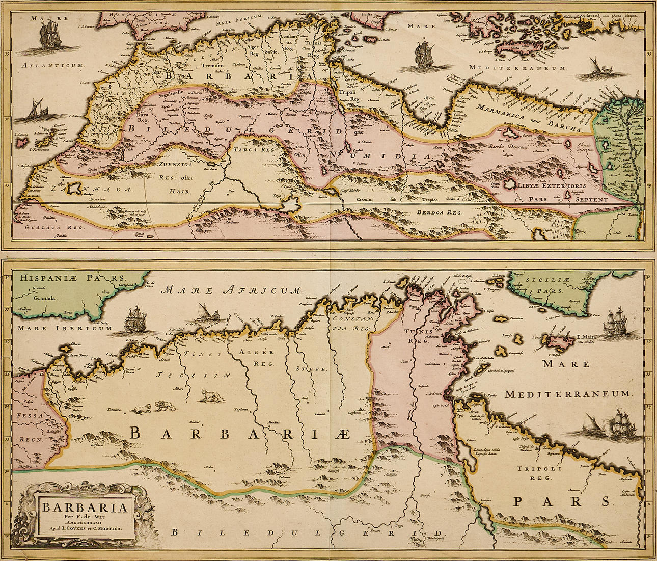
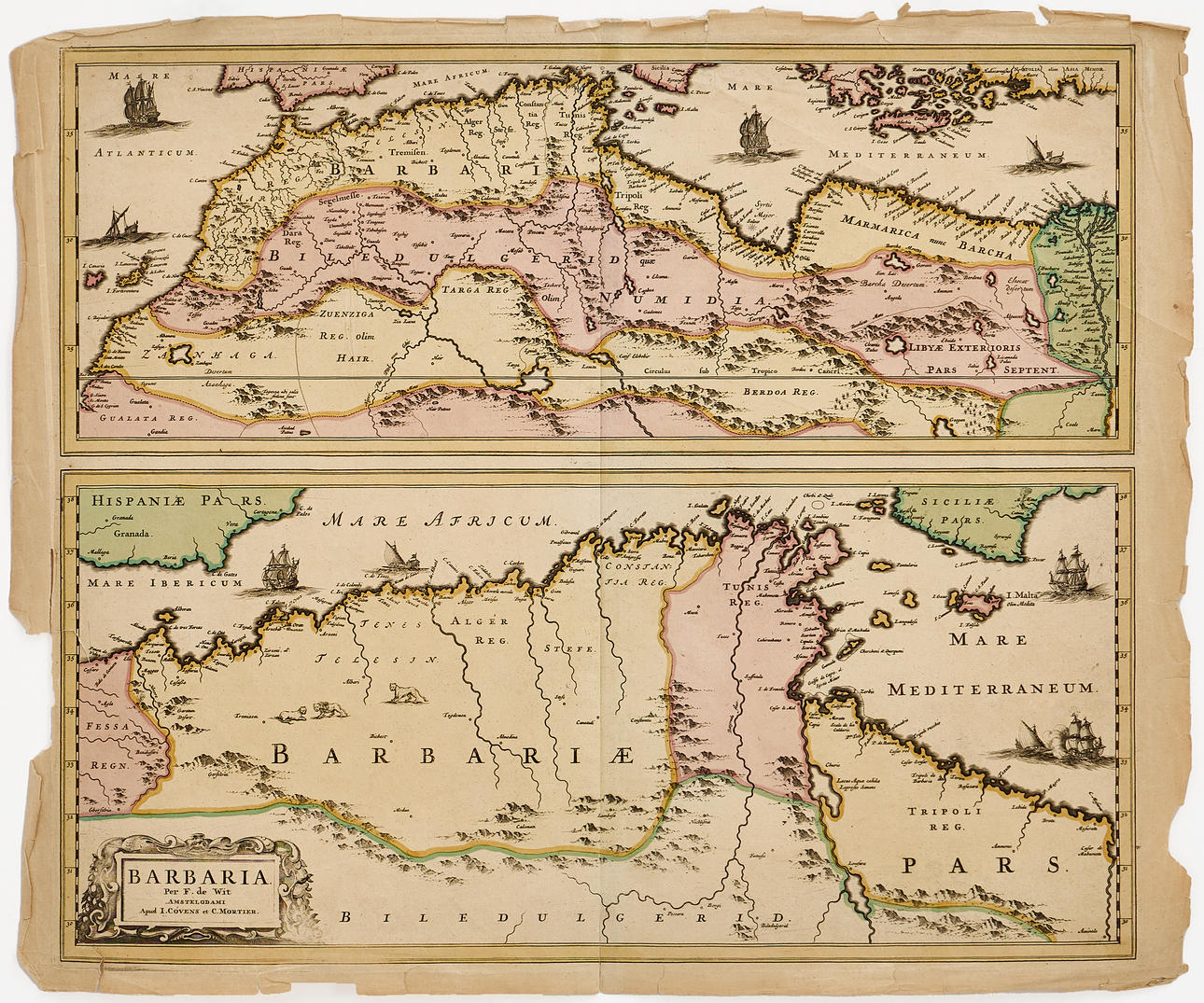
5042116. DE WIT/COVENS & MORTIER, Barbaria, c. 1750.
Images
5042116. DE WIT/COVENS & MORTIER, Barbaria, c. 1750.
Description
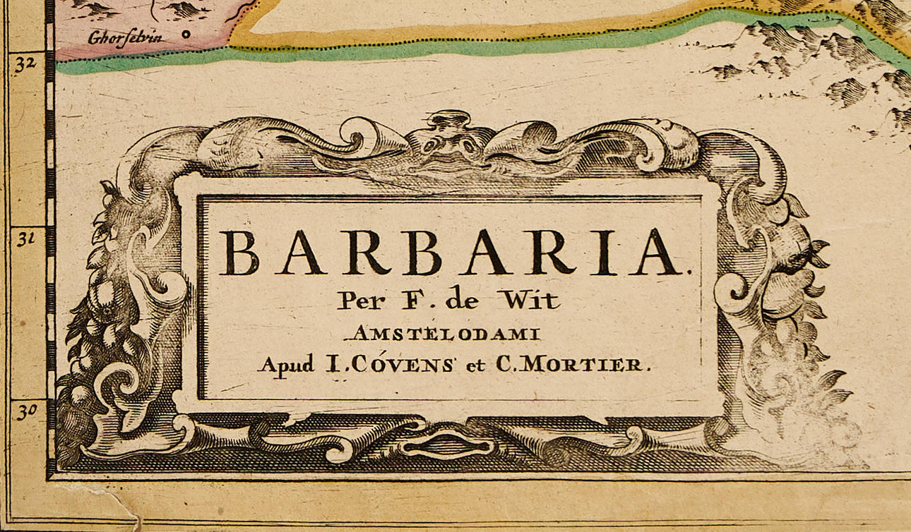
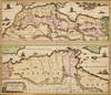
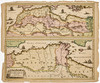
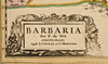
Frederick de Wit (1629-1706), "Barbaria", engraved and hand-coloured map with two map images of North Africa, c. 1680, published by Covens & Mortier, Amsterdam c. 1750.
Plate: 47 x 54.7 cm.
Sheet: c. 51 x 59 cm.
Frederick de Wit (1629 - 1706) originally worked for Willem Blaeu in Amsterdam, having moved there sometime before 1648. The first known work attributed to his hand is an engraved plan of Haarlem (Antonius Sanderus "Flandria Illustrata"). In 1654, de Wit started his own business, and likely the first map he drew and engraved himself is a sea chart from 1659 of Denmark ("REGNI DANIÆ Accuratissima delineatio Perfeckte Kaerte van ‘t CONJNCKRYCK DENEMARCKEN). A year later, he published a large world map, "Nova Totius Terrarum Orbis Tabula", which became highly acclaimed and paved the way for his continued success. In the early 1660s, he published a large composite atlas, which varied from 17 to 150 sea charts and maps. After his death in 1706, his wife Maria continued the business as their son had no interest in the operation. In 1710, Maria sold all maps and plates at a public auction. The majority were acquired by Pieter Mortier (1661-1711). His son Cornelius Mortier (1699-1783) took over the business upon his father's death and later formed the firm Covens & Mortier together with Johannes Covens (1697-1774), following his marriage to the latter's sister in 1721. The firm became very successful and was active until around 1862.
Condition
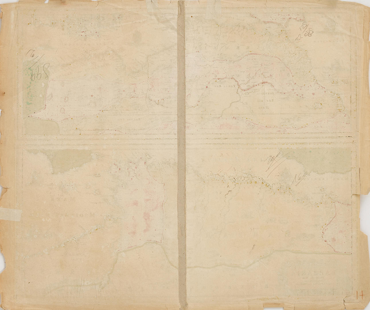
Yellowed. Minor stains. Margins with extensive damage (some with restoration), creases, tears (some of which reach the image) and paper losses. Some creases in the image. Tear along the lower part of the center fold (c. 50mm, partially in the image). Tears (c. 35-40mm) in the lower left corner of the image and on the left part of the image.
Unframed.
5042116. DE WIT/COVENS & MORTIER, Barbaria, c. 1750.
Description
Frederick de Wit (1629-1706), "Barbaria", engraved and hand-coloured map with two map images of North Africa, c. 1680, published by Covens & Mortier, Amsterdam c. 1750.
Plate: 47 x 54.7 cm.
Sheet: c. 51 x 59 cm.
Frederick de Wit (1629 - 1706) originally worked for Willem Blaeu in Amsterdam, having moved there sometime before 1648. The first known work attributed to his hand is an engraved plan of Haarlem (Antonius Sanderus "Flandria Illustrata"). In 1654, de Wit started his own business, and likely the first map he drew and engraved himself is a sea chart from 1659 of Denmark ("REGNI DANIÆ Accuratissima delineatio Perfeckte Kaerte van ‘t CONJNCKRYCK DENEMARCKEN). A year later, he published a large world map, "Nova Totius Terrarum Orbis Tabula", which became highly acclaimed and paved the way for his continued success. In the early 1660s, he published a large composite atlas, which varied from 17 to 150 sea charts and maps. After his death in 1706, his wife Maria continued the business as their son had no interest in the operation. In 1710, Maria sold all maps and plates at a public auction. The majority were acquired by Pieter Mortier (1661-1711). His son Cornelius Mortier (1699-1783) took over the business upon his father's death and later formed the firm Covens & Mortier together with Johannes Covens (1697-1774), following his marriage to the latter's sister in 1721. The firm became very successful and was active until around 1862.
Condition
Yellowed. Minor stains. Margins with extensive damage (some with restoration), creases, tears (some of which reach the image) and paper losses. Some creases in the image. Tear along the lower part of the center fold (c. 50mm, partially in the image). Tears (c. 35-40mm) in the lower left corner of the image and on the left part of the image.
Unframed.