HONDIUS, Tartaria, 1611-1612.
This auction is closed, but maybe you like the following items?

Images
Description
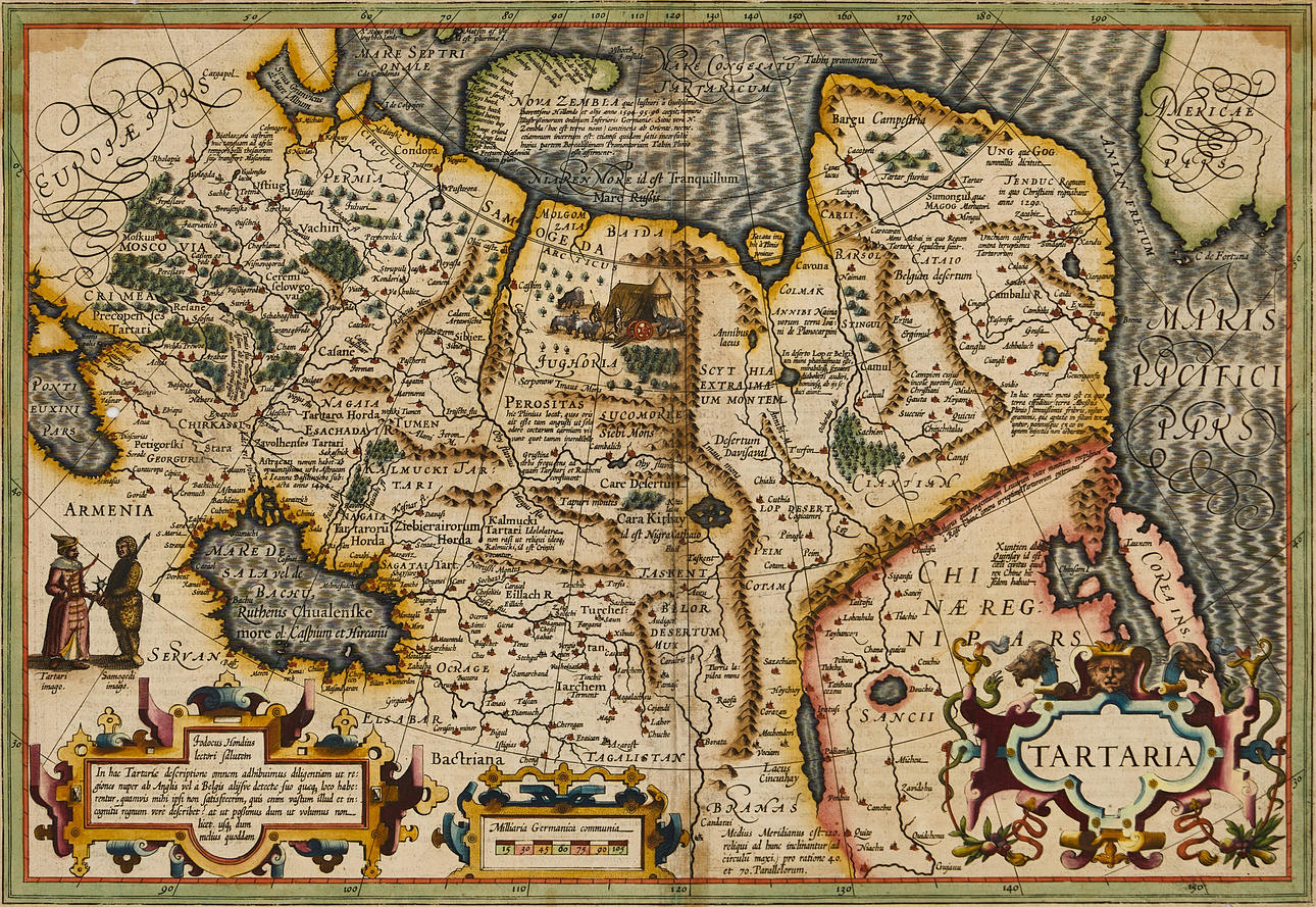
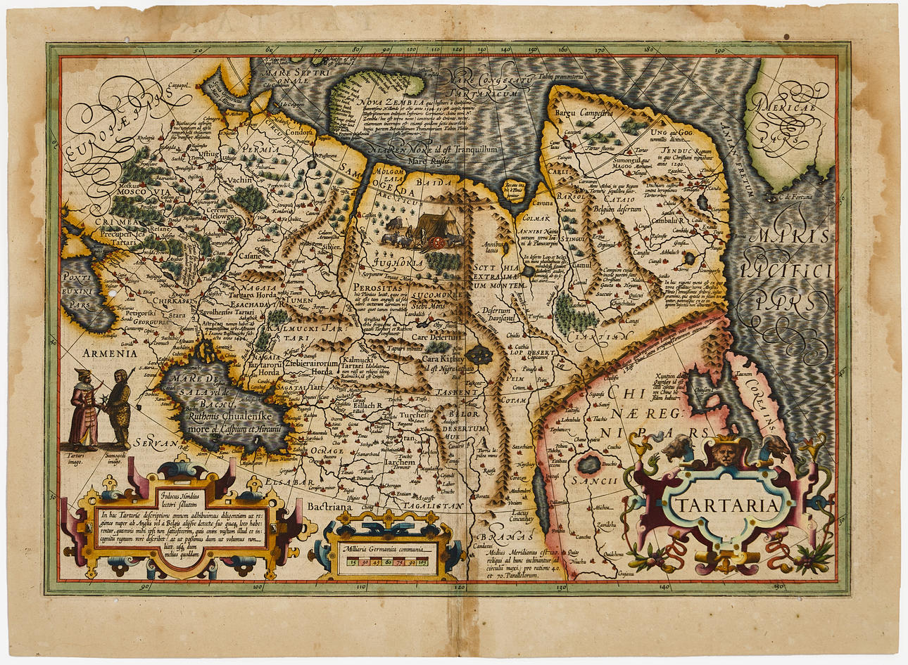
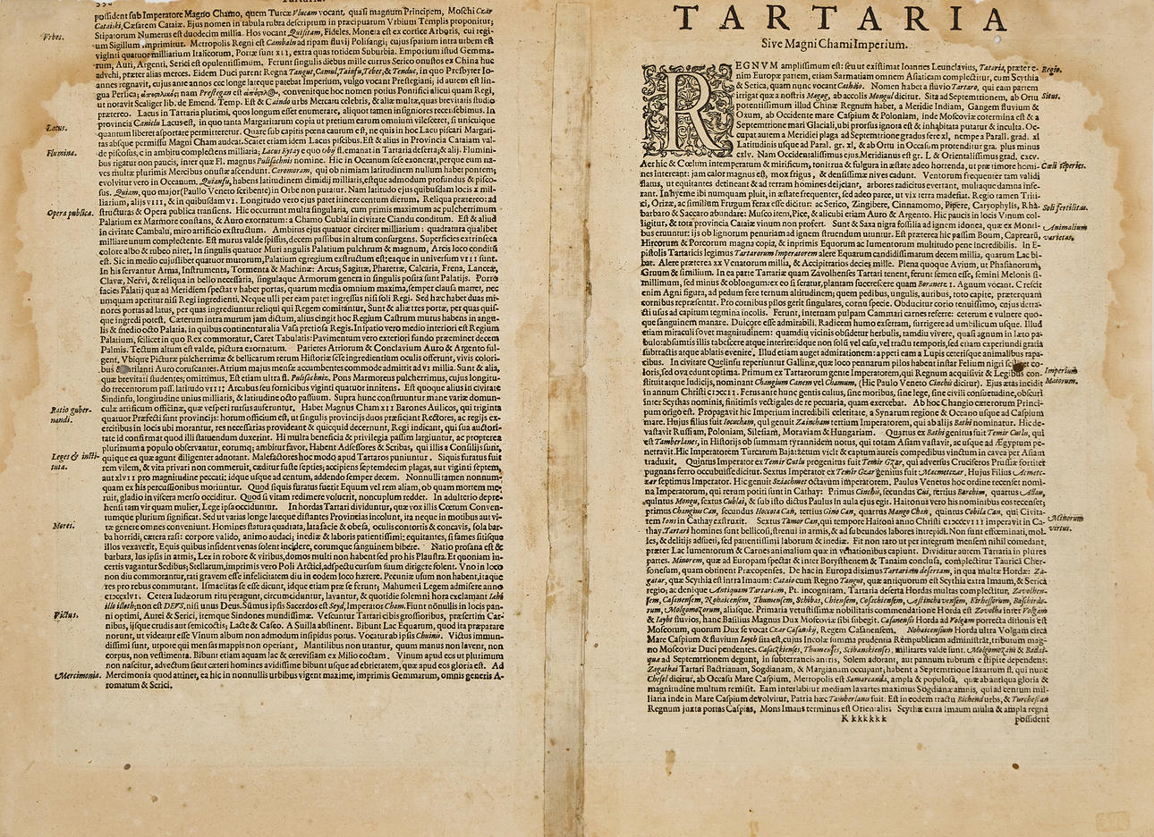
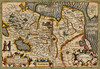
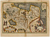
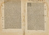
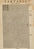
Jodocus Hondius I (1563-1612), "Tartaria", engraved and hand-coloured map of Russia and Siberia ("Tartaria") as well as western Russia ("Moscovia"), Amsterdam 1611-1612, Latin text.
Plate: 34 x 49.3 cm.
Sheet: approx. 39.2 x 54.2 cm.
LITERATURE: Koeman 8050:1A.
The map also shows China ("Chinae Regni Pars"), Korea, parts of eastern Europe and part of western North America. The Bering Strait is named "Anian Fretum" (Strait of Anian). The Great Wall of China is depicted through various mountain ranges and is accompanied by a long text in Latin: "Murus quadringentarum Lecuarum inter montium crepidines a Rege Chinae contra irruptiones Tartarorum extructus." (eng: A wall of four hundred leagues [leucas] built among the mountain ridges by the King of China against the incursions of the Tartars).
A curiosity is Korea rendered as an island rather than a peninsula. Japan is not depicted. Novaya Zemlya is depicted based on Willem Barentsz's discoveries and with descriptive text: "NOVA ZEMBLA quæ lustrari à Guilielmo Barentsono Hollando et alijs anno 1594.95.96 coeptis, nomine Illustrißimorum Ordinum Inferioris Germaniæ. Sine vero N. Zembla hoc est terra nova) continens ab Oriente, necne, etiamnum incertum est: etiamsi quidam satis inconſultè huius partem Borealißimam Promontorium Tabin Plinio esse affirment." (eng: NOVA ZEMBLA which began to be explored by Willem Barentsz the Dutchman and others in the years 1594, 95, 96, on behalf of the Most Illustrious Orders of the Netherlands. Whether true North Zembla (that is, new land) is contiguous from the East, is still uncertain; although some quite rashly assert that the most northern part of it is the Promontory of Tabin mentioned by Pliny. Includes symbols for cities, mountains, and forests.).
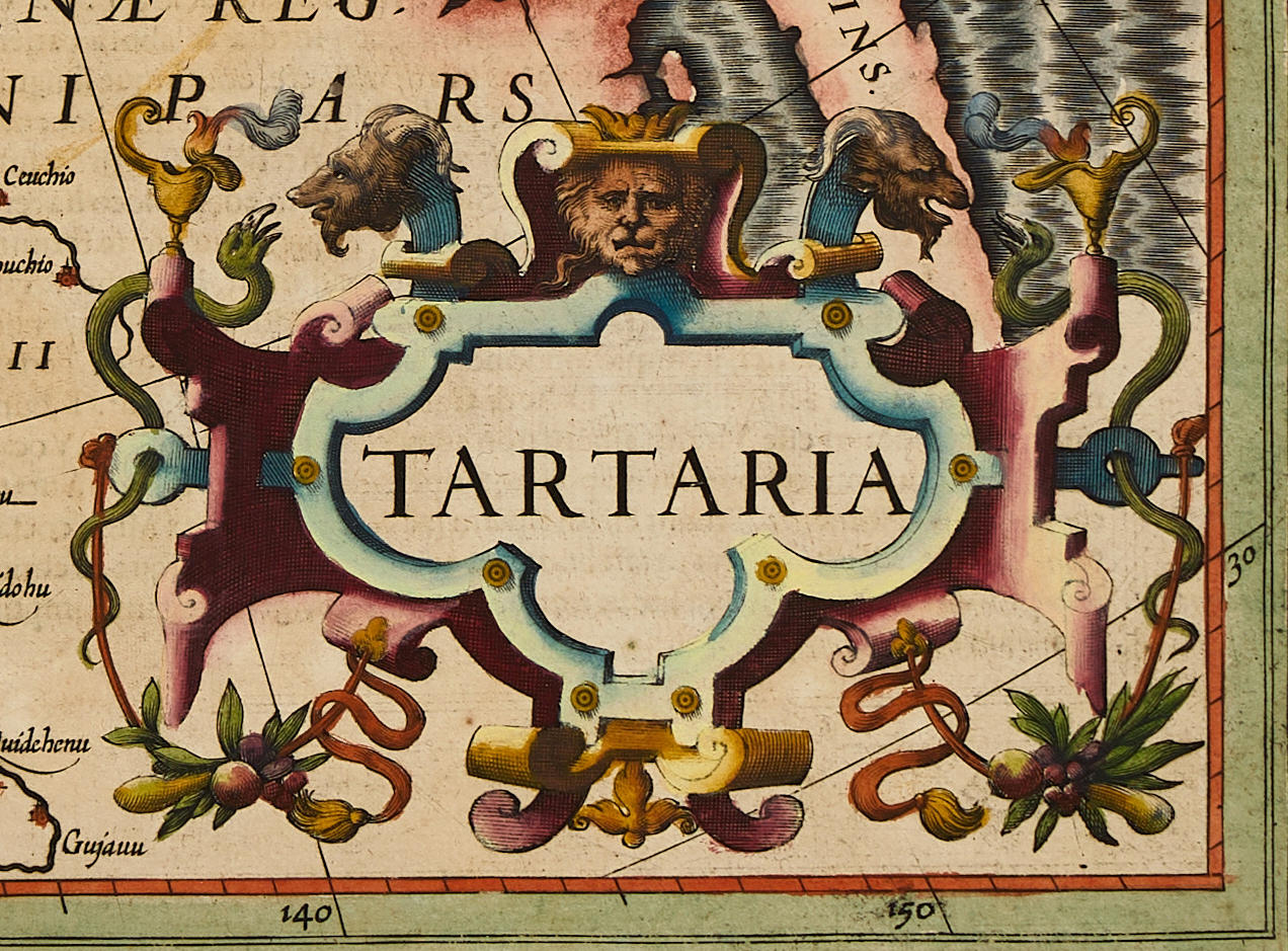
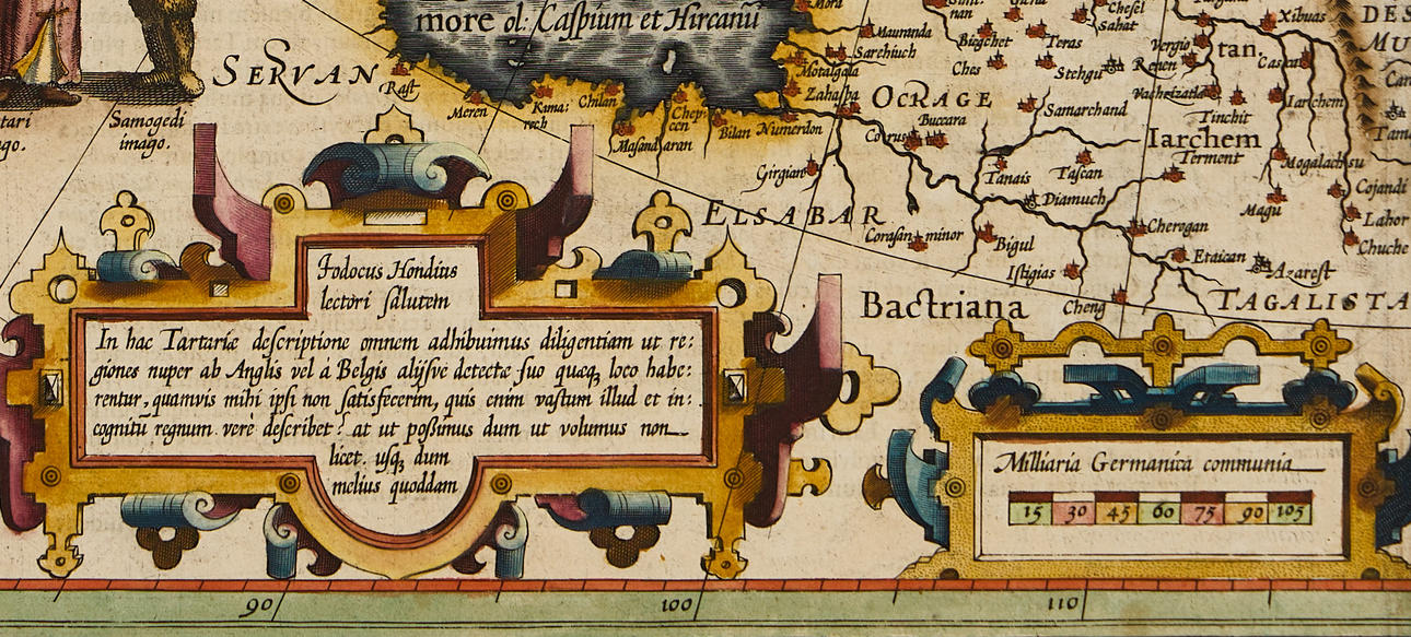
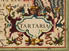
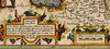
In the lower right corner is the decorative title cartouche. To the left on the map, two men are depicted, a Tartar and a Samoyed. At the top of the map, two Tartars by a tent with livestock. In the lower left corner, next to the cartouche with the scale, another cartouche with a greeting from Jodocus Hondius himself: "Iodocus Hondius lectori salutem. In hac Tartariæ descriptione omnem adhibuimus diligentiam ut regiones nuper ab Anglis vel à Belgis alijsve detectæ suo quæq; loco haberentur, quanvis mihi ipfi non satisfecerim, quis enim vafum illud et incognitum regnum verè describet? at ut possumus dum ut volumus non licet. vlti; dum melius quoddam." (eng: Jodocus Hondius greets the reader in this description of Tartaria, we have applied all diligence so that the regions recently discovered by the English or by the Dutch or others would be located in their proper places, although I myself am not satisfied; for who will truly describe that vast and unknown kingdom? But we do as we can, since we cannot do as we would like. We hope for something better.).
The Hondius family business was founded by Jodocus Hondius (I, the Elder, 1563-1612), who was one of the most renowned engravers of his time. He is known for collaborations with several prominent cartographers and publishers at the end of the 16th century and the beginning of the 17th century. He grew up in Ghent and apprenticed as an instrument maker, map engraver, and globe maker. In 1584, he fled the religious unrest that swept through the Low Countries and stayed for a few years in London. Around 1593, he returned to establish himself in Amsterdam. During his years in London, he came into contact with leading scientists and geographers. He engraved maps for "The Mariner's Mirrour", the English edition of Waghenaer's sea atlas. Undoubtedly, his time in London helped give him an important network and international fame. In 1604, Hondius bought the plates for Mercator's Atlas, which, despite its quality, had never managed to compete with the constant demand for Ortelius's "Theatrum Orbis Terrarum". To make Mercator's Atlas more competitive, Hondius added about 40 more maps. From 1606, the expanded edition was published in several languages, still under Mercator's name, but with his own name as publisher. These editions have become known as the Mercator/Hondius Atlas, and the maps were also re-engraved in a smaller format and published as "Atlas Minor".
After the death of Jodocus Hondius the Elder in 1612, the work on the two atlases (folio and minor) was continued by his two sons Jodocus Hondius (II, 1594-1629) and Henricus Hondius (1597-1651), and from 1628 also in collaboration with Johannes Janssonius (1588-1664). In total, nearly 50 different editions were published from 1606 onwards, with an increasing number of maps, and in several European languages.
Condition
Yellowed, spots and damp stains. Discolouration along the centre fold. 6 wormholes, four of which are on the plate edge, and two in the image (to the left below the city "Suruba vasinar". And to the right above the second R in MARIS PACIFICI PARS. The edges are unevenly trimmed. Minor damage/paper losses on the upper edge of the sheet. Small tear (10mm) in the upper right corner. The map is restored along the centre fold and reinforced a tergo.
Unframed.
Theme
Francesco Bacoccoli Collection - The Golden Era of Cartography: Part II
Do you have something similar to sell? Get your items valued free of charge!
Description
Jodocus Hondius I (1563-1612), "Tartaria", engraved and hand-coloured map of Russia and Siberia ("Tartaria") as well as western Russia ("Moscovia"), Amsterdam 1611-1612, Latin text.
Plate: 34 x 49.3 cm.
Sheet: approx. 39.2 x 54.2 cm.
LITERATURE: Koeman 8050:1A.
The map also shows China ("Chinae Regni Pars"), Korea, parts of eastern Europe and part of western North America. The Bering Strait is named "Anian Fretum" (Strait of Anian). The Great Wall of China is depicted through various mountain ranges and is accompanied by a long text in Latin: "Murus quadringentarum Lecuarum inter montium crepidines a Rege Chinae contra irruptiones Tartarorum extructus." (eng: A wall of four hundred leagues [leucas] built among the mountain ridges by the King of China against the incursions of the Tartars).
A curiosity is Korea rendered as an island rather than a peninsula. Japan is not depicted. Novaya Zemlya is depicted based on Willem Barentsz's discoveries and with descriptive text: "NOVA ZEMBLA quæ lustrari à Guilielmo Barentsono Hollando et alijs anno 1594.95.96 coeptis, nomine Illustrißimorum Ordinum Inferioris Germaniæ. Sine vero N. Zembla hoc est terra nova) continens ab Oriente, necne, etiamnum incertum est: etiamsi quidam satis inconſultè huius partem Borealißimam Promontorium Tabin Plinio esse affirment." (eng: NOVA ZEMBLA which began to be explored by Willem Barentsz the Dutchman and others in the years 1594, 95, 96, on behalf of the Most Illustrious Orders of the Netherlands. Whether true North Zembla (that is, new land) is contiguous from the East, is still uncertain; although some quite rashly assert that the most northern part of it is the Promontory of Tabin mentioned by Pliny. Includes symbols for cities, mountains, and forests.).
In the lower right corner is the decorative title cartouche. To the left on the map, two men are depicted, a Tartar and a Samoyed. At the top of the map, two Tartars by a tent with livestock. In the lower left corner, next to the cartouche with the scale, another cartouche with a greeting from Jodocus Hondius himself: "Iodocus Hondius lectori salutem. In hac Tartariæ descriptione omnem adhibuimus diligentiam ut regiones nuper ab Anglis vel à Belgis alijsve detectæ suo quæq; loco haberentur, quanvis mihi ipfi non satisfecerim, quis enim vafum illud et incognitum regnum verè describet? at ut possumus dum ut volumus non licet. vlti; dum melius quoddam." (eng: Jodocus Hondius greets the reader in this description of Tartaria, we have applied all diligence so that the regions recently discovered by the English or by the Dutch or others would be located in their proper places, although I myself am not satisfied; for who will truly describe that vast and unknown kingdom? But we do as we can, since we cannot do as we would like. We hope for something better.).
The Hondius family business was founded by Jodocus Hondius (I, the Elder, 1563-1612), who was one of the most renowned engravers of his time. He is known for collaborations with several prominent cartographers and publishers at the end of the 16th century and the beginning of the 17th century. He grew up in Ghent and apprenticed as an instrument maker, map engraver, and globe maker. In 1584, he fled the religious unrest that swept through the Low Countries and stayed for a few years in London. Around 1593, he returned to establish himself in Amsterdam. During his years in London, he came into contact with leading scientists and geographers. He engraved maps for "The Mariner's Mirrour", the English edition of Waghenaer's sea atlas. Undoubtedly, his time in London helped give him an important network and international fame. In 1604, Hondius bought the plates for Mercator's Atlas, which, despite its quality, had never managed to compete with the constant demand for Ortelius's "Theatrum Orbis Terrarum". To make Mercator's Atlas more competitive, Hondius added about 40 more maps. From 1606, the expanded edition was published in several languages, still under Mercator's name, but with his own name as publisher. These editions have become known as the Mercator/Hondius Atlas, and the maps were also re-engraved in a smaller format and published as "Atlas Minor".
After the death of Jodocus Hondius the Elder in 1612, the work on the two atlases (folio and minor) was continued by his two sons Jodocus Hondius (II, 1594-1629) and Henricus Hondius (1597-1651), and from 1628 also in collaboration with Johannes Janssonius (1588-1664). In total, nearly 50 different editions were published from 1606 onwards, with an increasing number of maps, and in several European languages.
Condition
Yellowed, spots and damp stains. Discolouration along the centre fold. 6 wormholes, four of which are on the plate edge, and two in the image (to the left below the city "Suruba vasinar". And to the right above the second R in MARIS PACIFICI PARS. The edges are unevenly trimmed. Minor damage/paper losses on the upper edge of the sheet. Small tear (10mm) in the upper right corner. The map is restored along the centre fold and reinforced a tergo.
Unframed.
Theme
Francesco Bacoccoli Collection - The Golden Era of Cartography: Part II
Do you have something similar to sell? Get your items valued free of charge!