MAP, Hydrographic map, Germany, 19th century.

Images
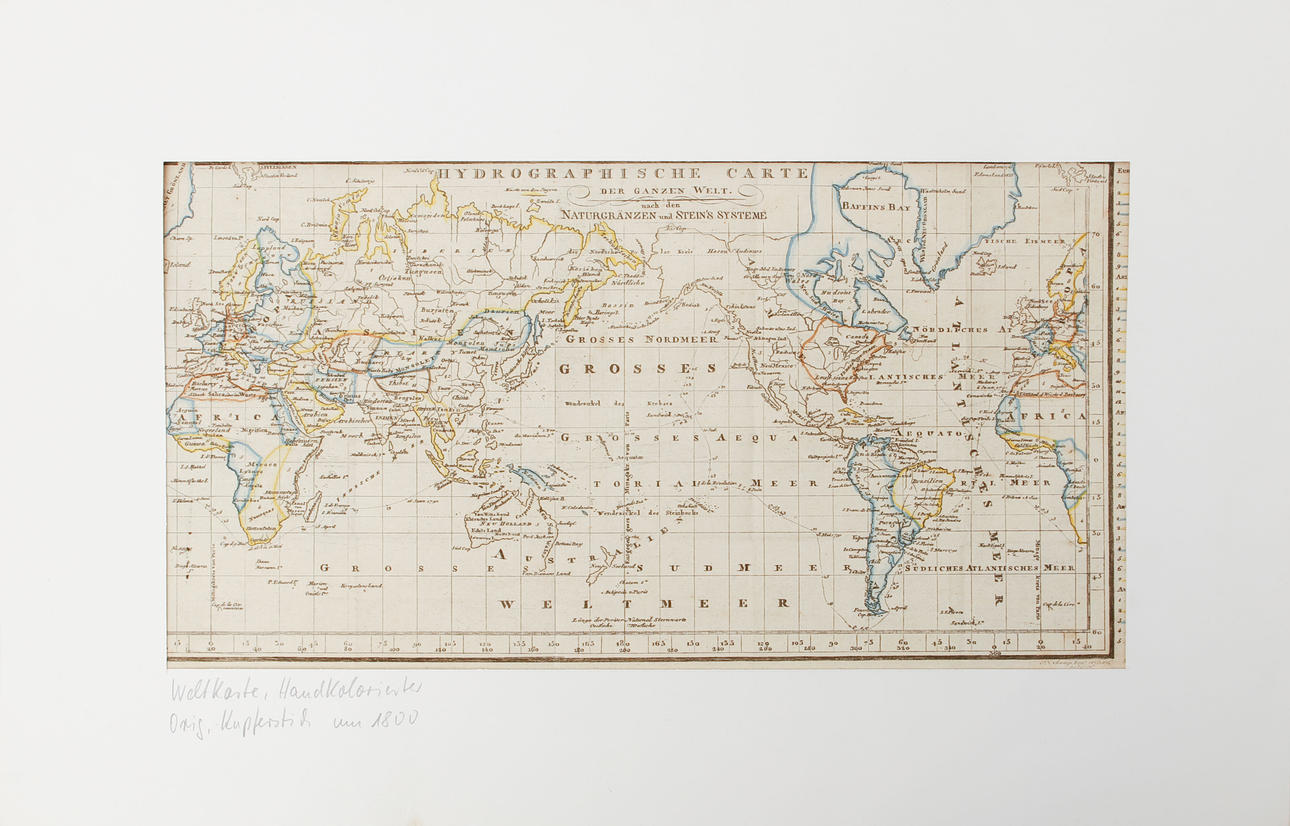
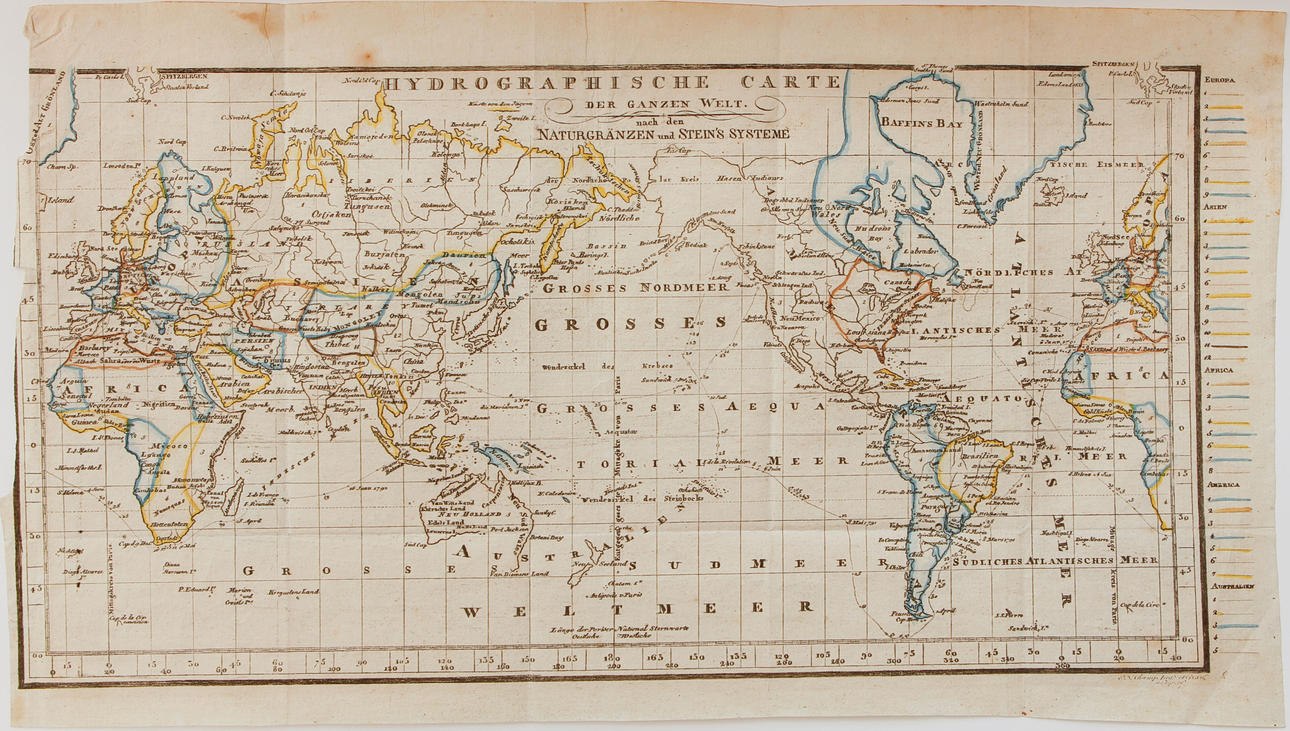
4988642. MAP, Hydrographic map, Germany, 19th century.
Description
Condition
Injuries and creases. Stains.
The item details are approximate automatic translations. Auctionet.com is not responsible for any translation errors. Hide the original Swedish texts.Show the original Swedish texts.