MAP OF MEDELPAD, 1769.

Images

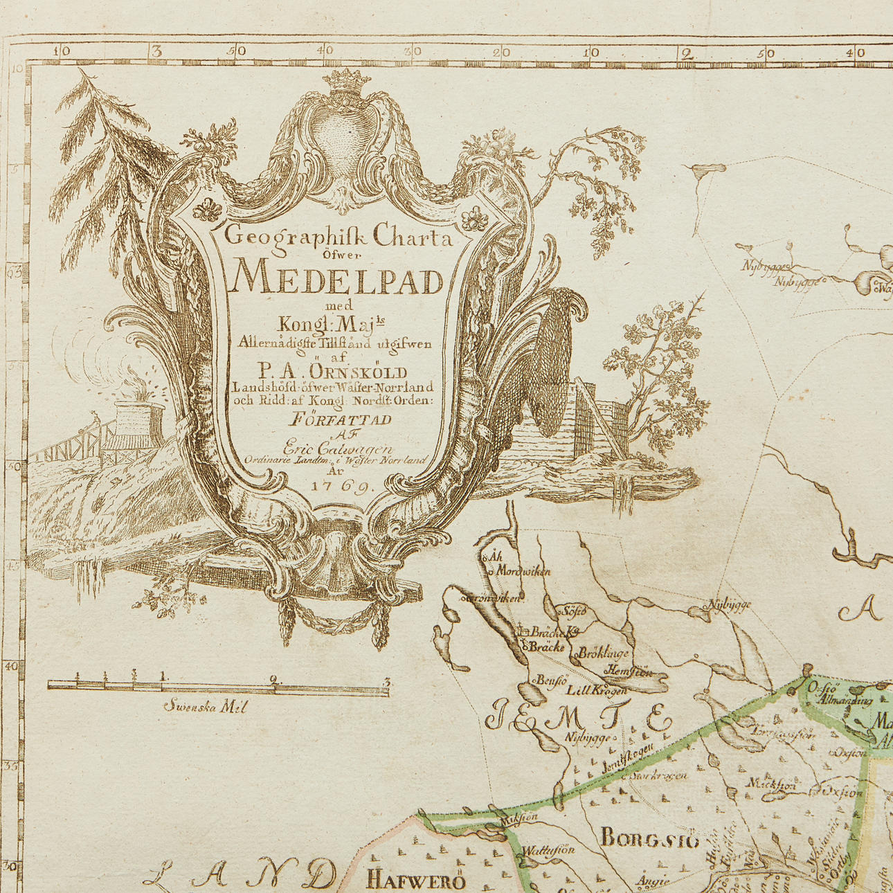
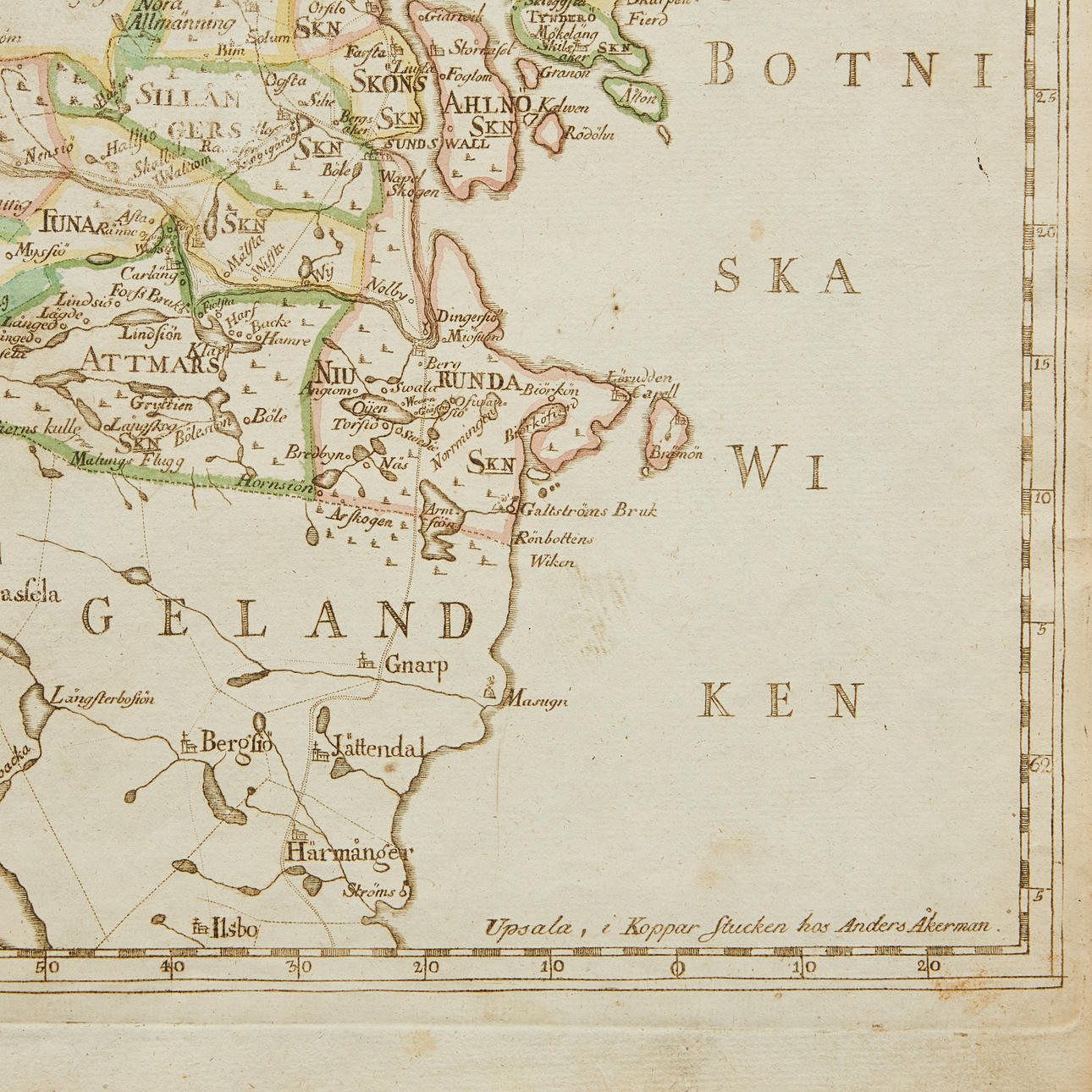

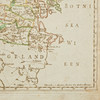
4922430. MAP OF MEDELPAD, 1769.
Description
Condition
Slightly soiled in a couple of places.
The item details are approximate automatic translations. Auctionet.com is not responsible for any translation errors. Hide the original Swedish texts.Show the original Swedish texts.