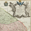
MAP OF VÄSTERNORRLAND, 1771.
This auction is closed, but maybe you like the following items?

Images
Description
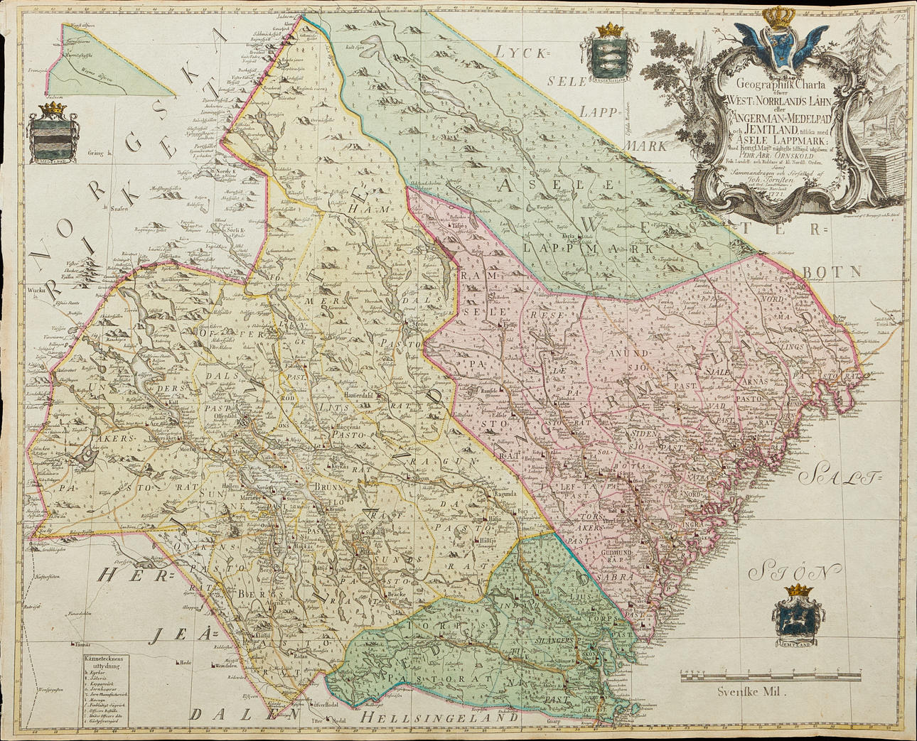
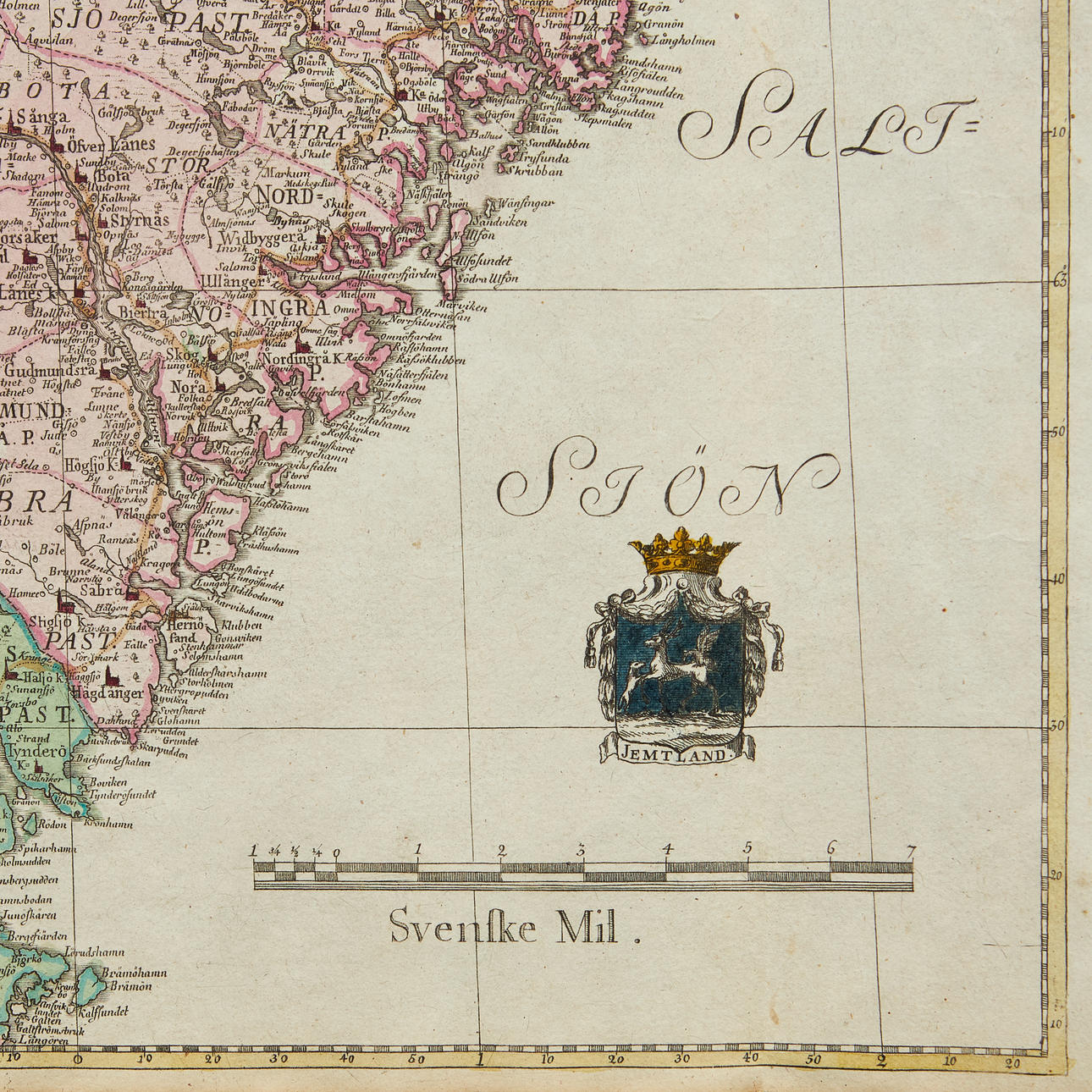
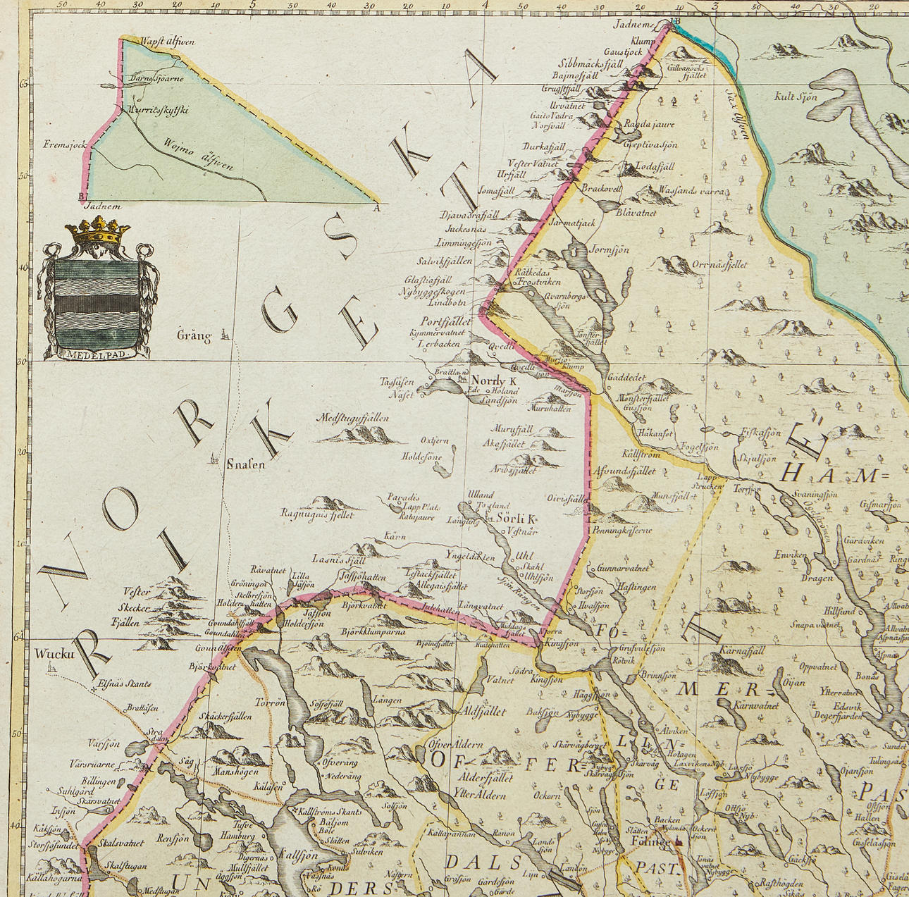
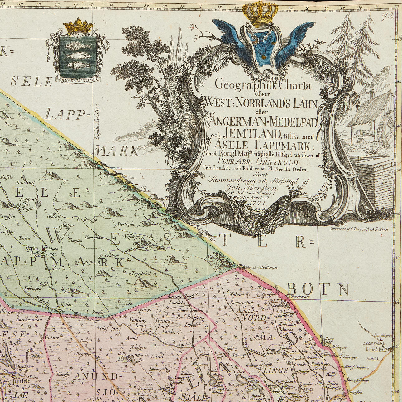
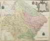
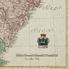
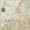
EAGLE SHIELD/THORN STONE. Geographical map of the West: Norrlands län or Ångerman-Medelpad and Jemtland plus Åsele lappmark, (Stockholm, Lantmäterikontoret), 1771.
Approx. 510x640 mm. Engraved map (by Bergquist and Akrel) in contemporary hand colouring, with partially coloured cartouche by a later hand. Without center folds.
The map was issued by Kongl. Landtmäteri Contoiret as part of a larger project intended to survey Sweden and Finland in the years 1739-1793.
Condition
Slightly tight margins.
Theme
Do you have something similar to sell? Get your items valued free of charge!
Description
EAGLE SHIELD/THORN STONE. Geographical map of the West: Norrlands län or Ångerman-Medelpad and Jemtland plus Åsele lappmark, (Stockholm, Lantmäterikontoret), 1771.
Approx. 510x640 mm. Engraved map (by Bergquist and Akrel) in contemporary hand colouring, with partially coloured cartouche by a later hand. Without center folds.
The map was issued by Kongl. Landtmäteri Contoiret as part of a larger project intended to survey Sweden and Finland in the years 1739-1793.
Condition
Slightly tight margins.
Theme
Do you have something similar to sell? Get your items valued free of charge!