EULER'S MAP OF RUSSIA, ca 1770.

Images
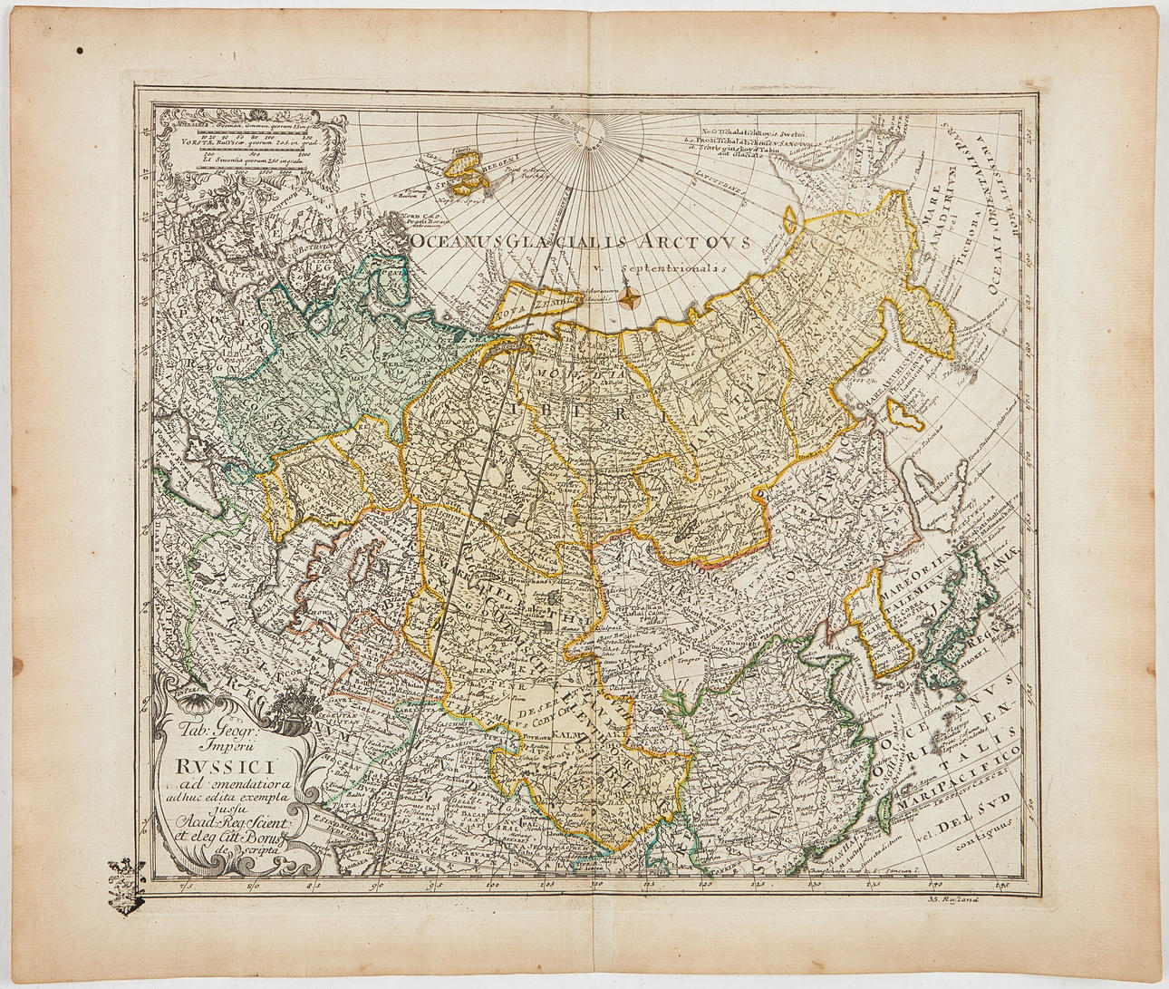
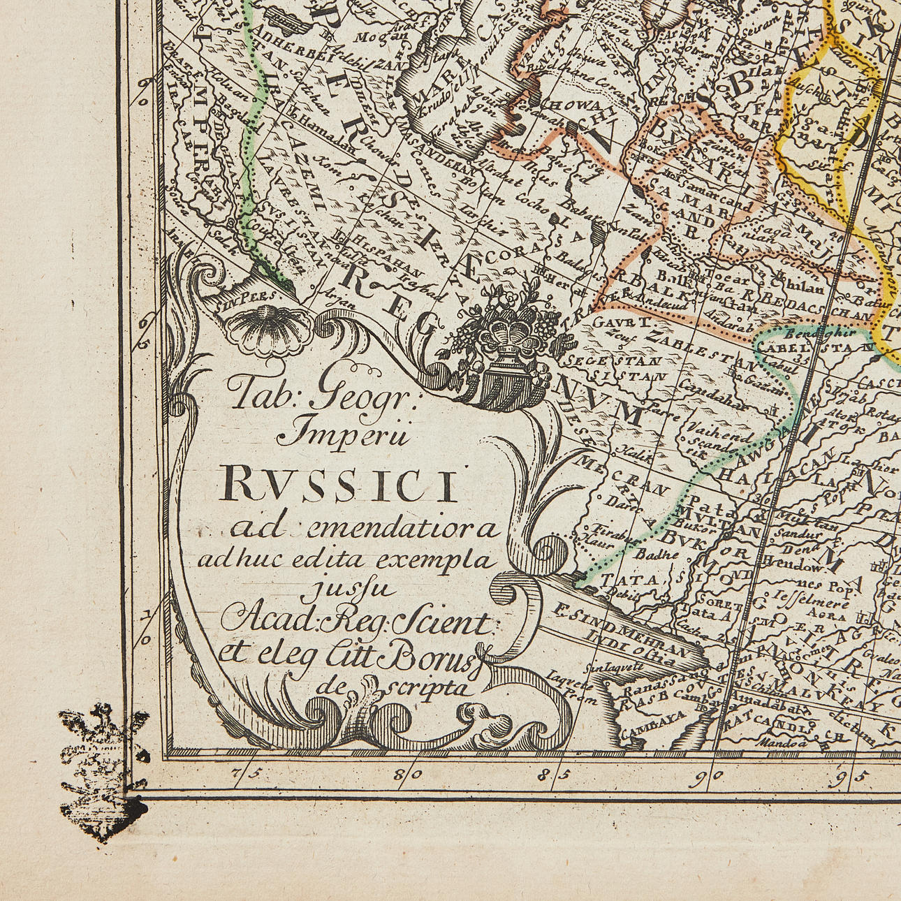
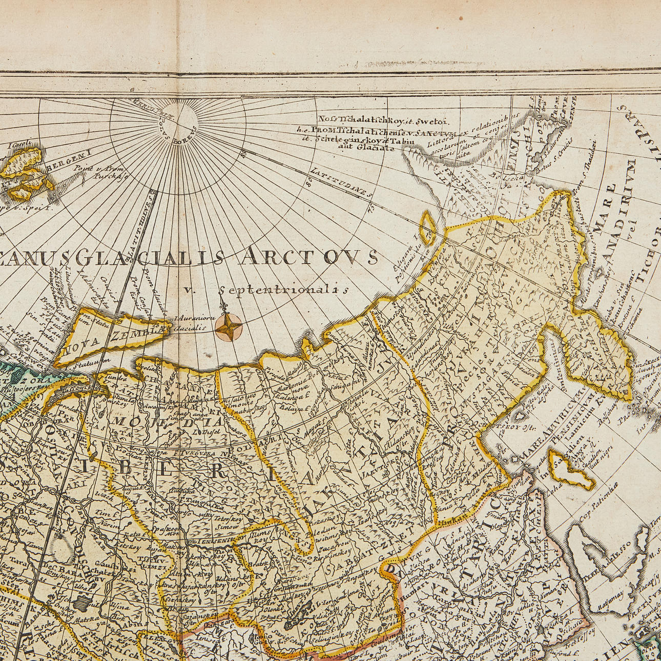
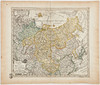
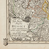
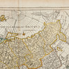
4884973. EULER'S MAP OF RUSSIA, ca 1770.
Description
Condition
Can be rolled.
Some spotting and staining, a few creases. Centrefold as issued.
Item details have been automatically translated. We are not responsible for translation errors. Hide the original Swedish texts.Show original in Swedish.