MAP OF SCANDINAVIA BY EULER, ca 1770.

Images
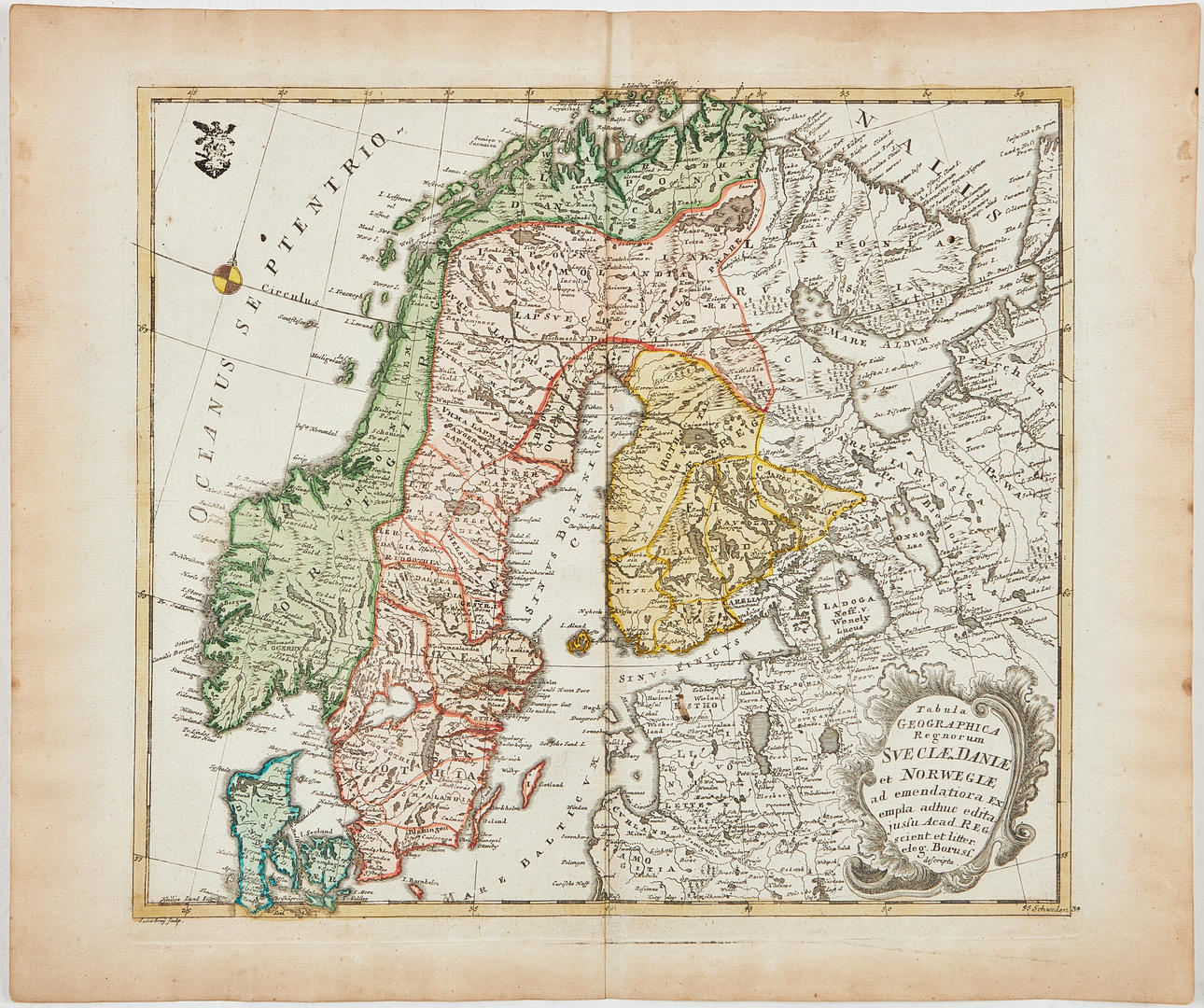
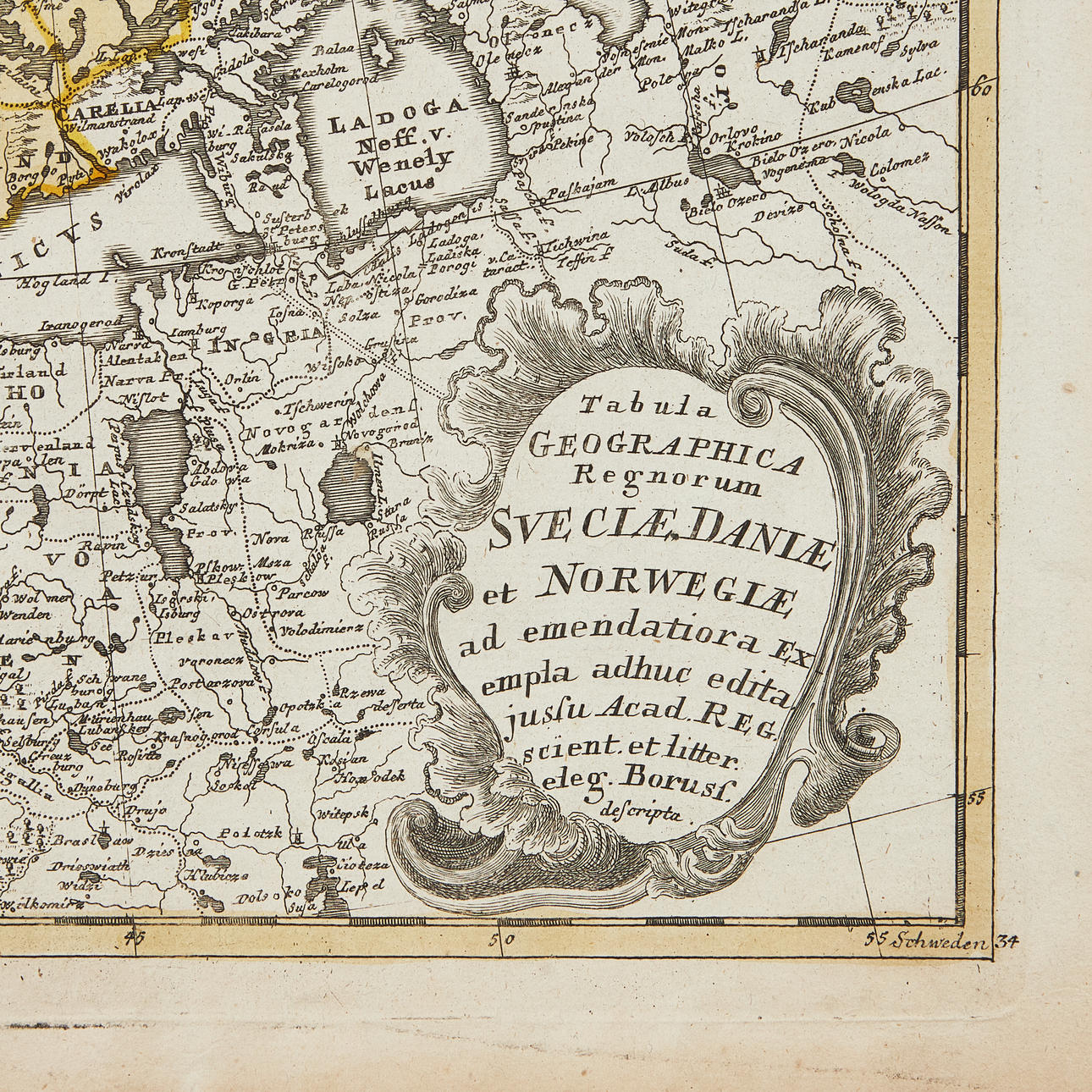
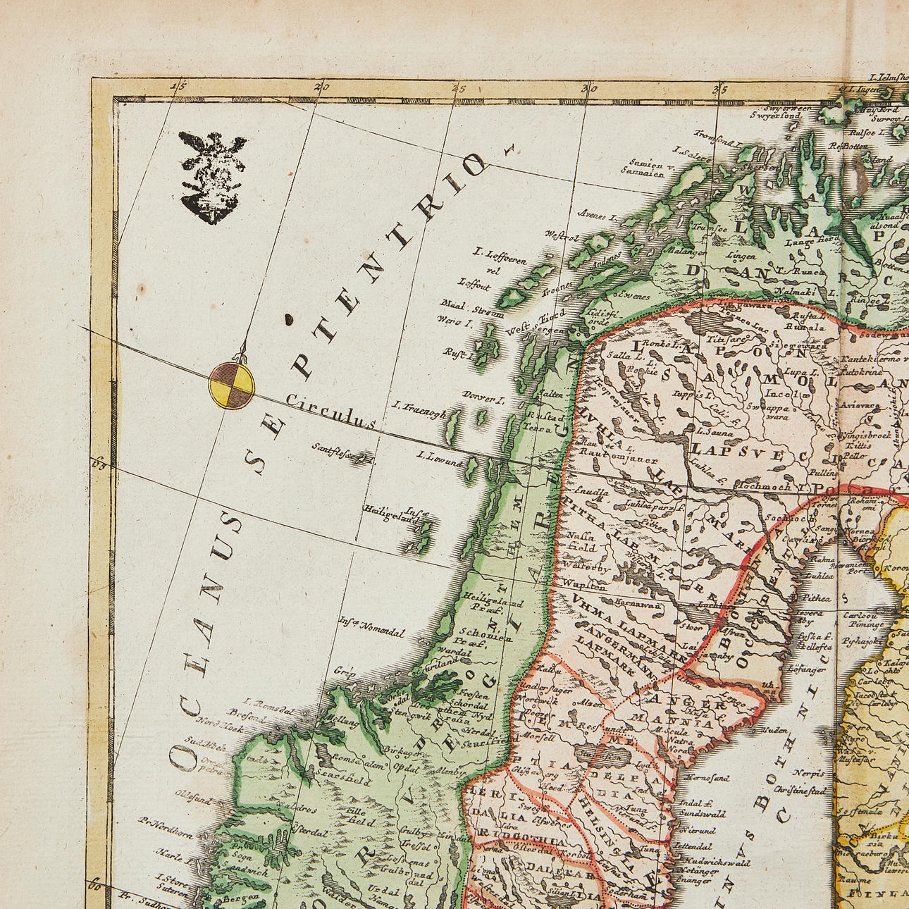

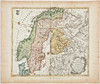
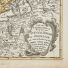
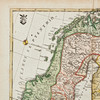
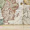
4883632. MAP OF SCANDINAVIA BY EULER, ca 1770.
Description
Condition
Can be rolled.
Some browning to margins, a few creases. Centrefold as issued, slightly browned.
Theme
Item details have been automatically translated. We are not responsible for translation errors. Hide the original Swedish texts.Show original in Swedish.