2 HEMISPHERE MAPS BY EULER, ca 1770.

Images

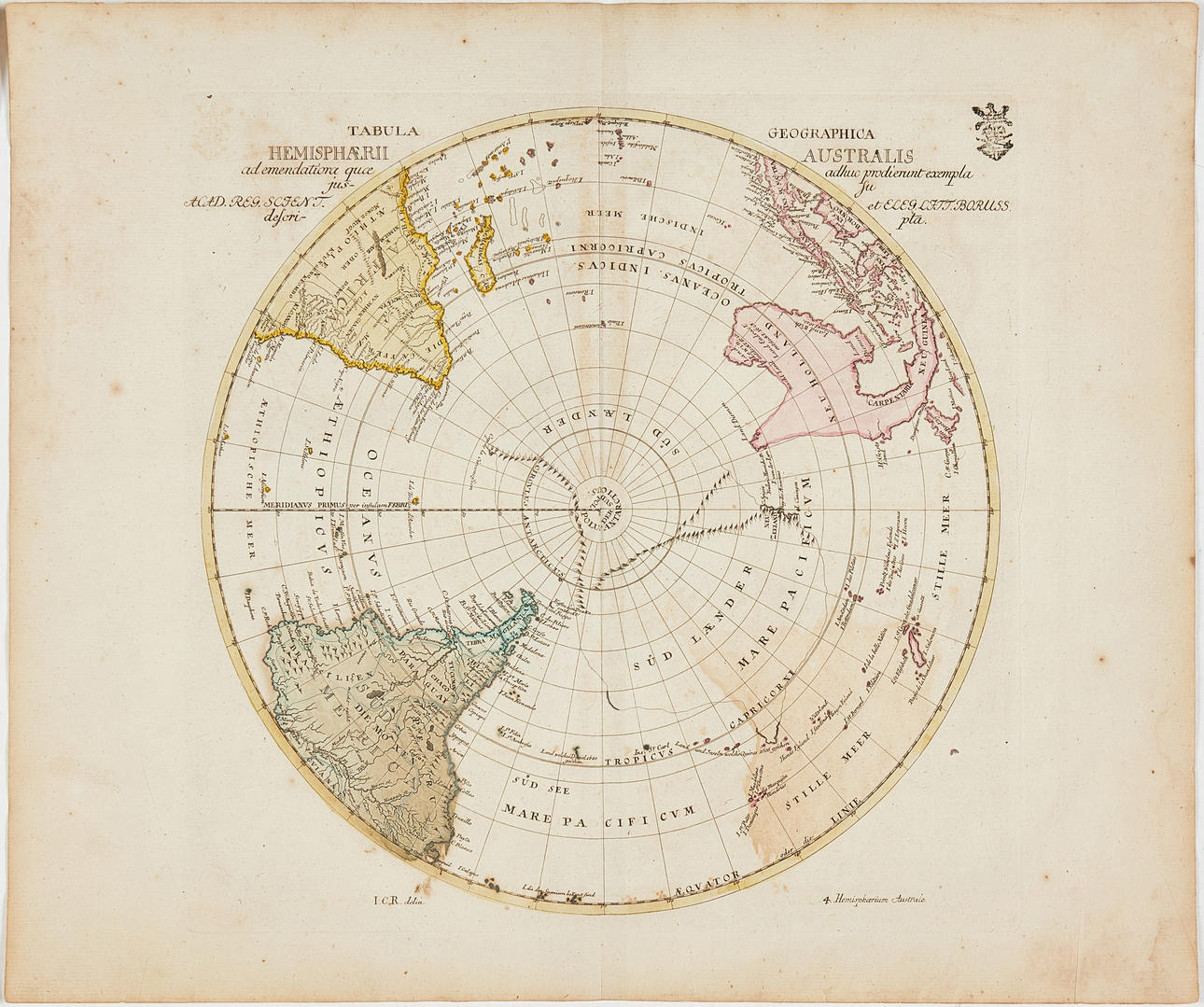

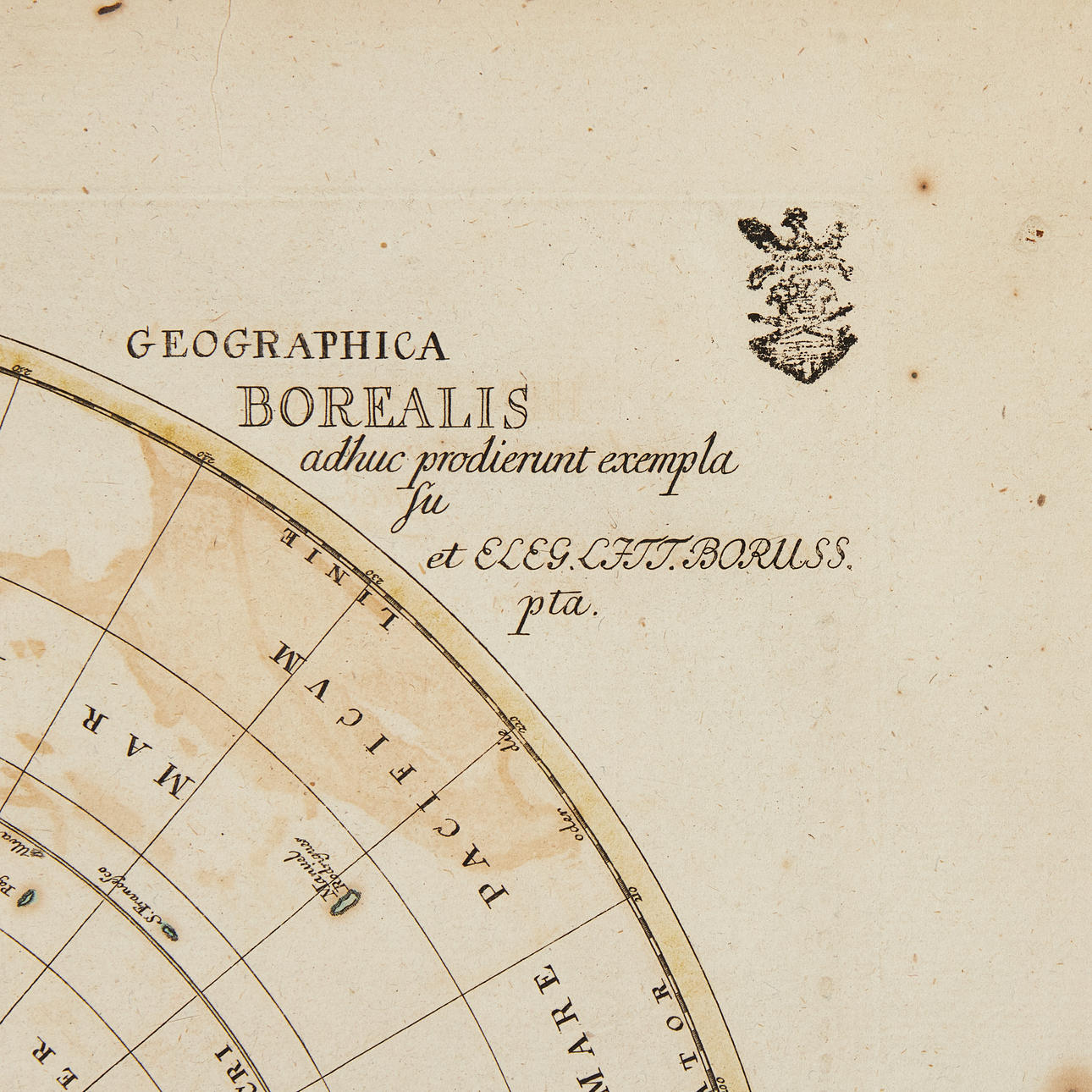
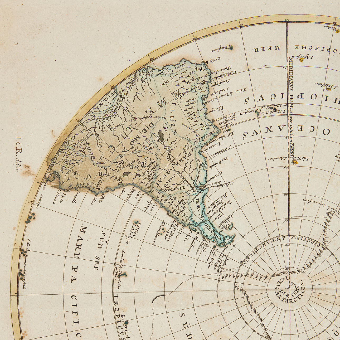
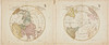

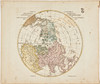
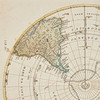
4883615. 2 HEMISPHERE MAPS BY EULER, ca 1770.
Description
Condition
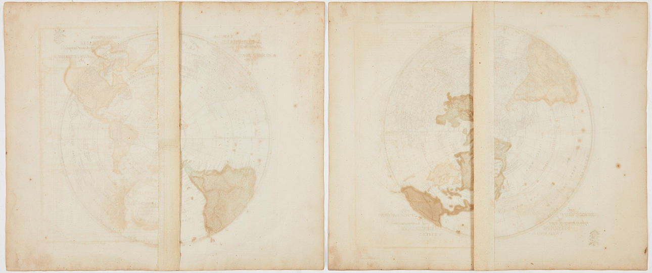
Can be rolled.
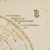
Some spotting and staining, a few creases. Owner's stamp in the margin. Centrefold as issued.
Item details have been automatically translated. We are not responsible for translation errors. Hide the original Swedish texts.Show original in Swedish.