2 hand-drawn cadastral maps, Östergötland, 1822.
This auction is closed, but maybe you like the following items?

Images


Description
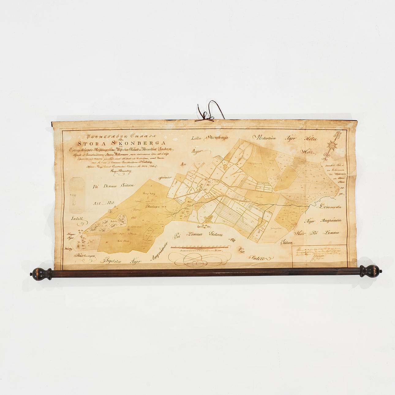
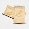
BLOMENBERG, BIRGER. Geometric map of Stora Skonberga in Östergöthland county, Wifolka härad and Normløse parish, measured by the land surveyor Anders Wetterman.. completed 1733 by the ordinary land surveyor P. Embring... drawn in 1822, by Birger Blomenberg.
630 x 1195 mm. Hand drawn and hand coloured surveying map mounted on fabric, a black wooden rod at the top and a black round bar at the bottom edge. Charta sigillata mounted on the left edge. Brown-toned, stains, slightly oxidized.
+
BLOMENBERG, BIRGER. Geometric Charter of Wallby, consisting of four equal measures in the common lands occupied in the county seat of Östergöthland, Gullberg county and Wreta monastery parish, written in 1718 by the ordinary surveyor Samuel Rejding; elaborated... in 1822 by Birger Blomenberg.
1005 x 640 mm. Hand drawn and hand coloured surveying map mounted on fabric, a black wooden rod at the top and a black round bar at the bottom edge. Charta sigillata mounted on the left edge. Brown-toned, some stains, partially detached from the upper wooden rod.
Condition
See text above.
Do you have something similar to sell? Get your items valued free of charge!
Description
BLOMENBERG, BIRGER. Geometric map of Stora Skonberga in Östergöthland county, Wifolka härad and Normløse parish, measured by the land surveyor Anders Wetterman.. completed 1733 by the ordinary land surveyor P. Embring... drawn in 1822, by Birger Blomenberg.
630 x 1195 mm. Hand drawn and hand coloured surveying map mounted on fabric, a black wooden rod at the top and a black round bar at the bottom edge. Charta sigillata mounted on the left edge. Brown-toned, stains, slightly oxidized.
+
BLOMENBERG, BIRGER. Geometric Charter of Wallby, consisting of four equal measures in the common lands occupied in the county seat of Östergöthland, Gullberg county and Wreta monastery parish, written in 1718 by the ordinary surveyor Samuel Rejding; elaborated... in 1822 by Birger Blomenberg.
1005 x 640 mm. Hand drawn and hand coloured surveying map mounted on fabric, a black wooden rod at the top and a black round bar at the bottom edge. Charta sigillata mounted on the left edge. Brown-toned, some stains, partially detached from the upper wooden rod.
Condition
See text above.
Do you have something similar to sell? Get your items valued free of charge!