DE JODE, Tractus Rheni (Tabula II), ca 1578.

Images
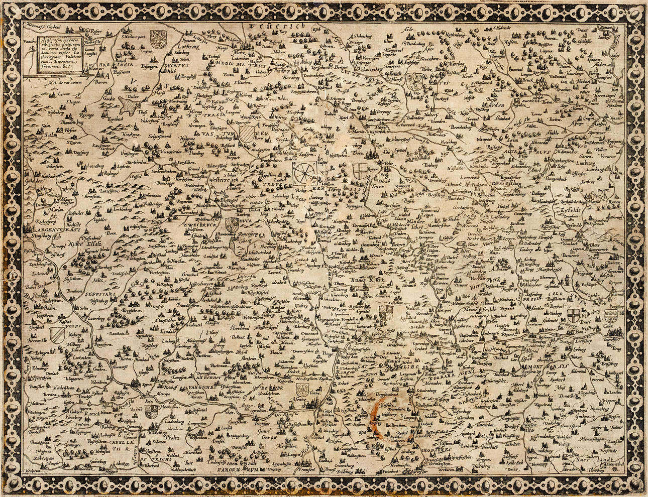
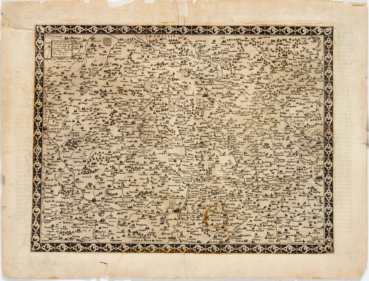
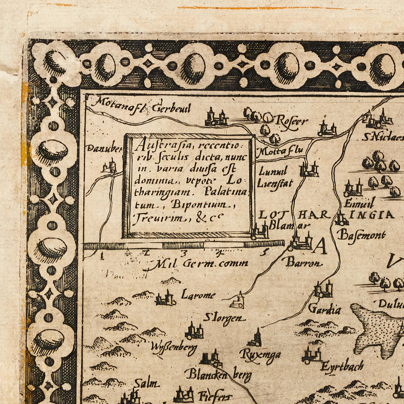
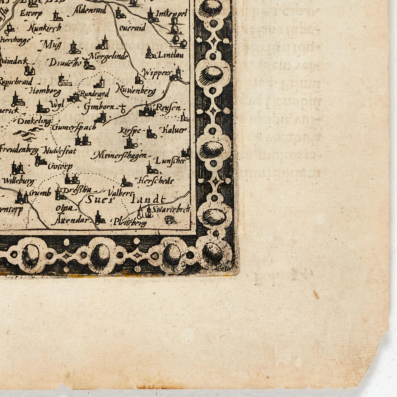

4848504. DE JODE, Tractus Rheni (Tabula II), ca 1578.
Description
Condition
Injuries. Slightly yellowed. The margin with the majority of tears, damage and paper losses. Three tears in the image surface. Old repairs and holes in the picture. The backside colouration shines through in the lower right part.
Not framed.
Theme
Francesco Bacoccoli Collection - The Golden Era of Cartography: Part I
Item details have been automatically translated. We are not responsible for translation errors. Hide the original Swedish texts.Show original in Swedish.