LOOTSMAN, Caerte van Archangel, ca 1663/66.

Images
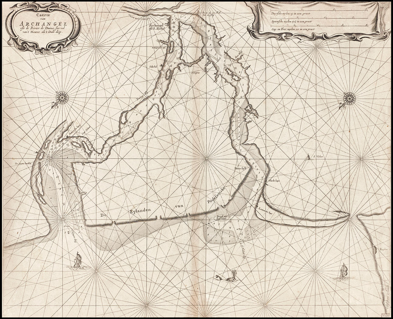
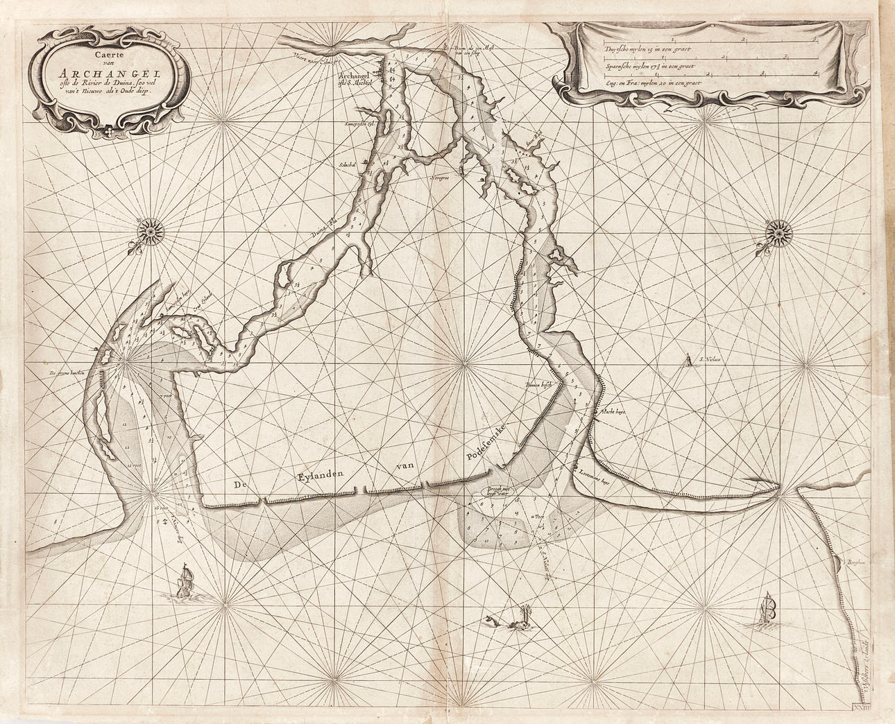
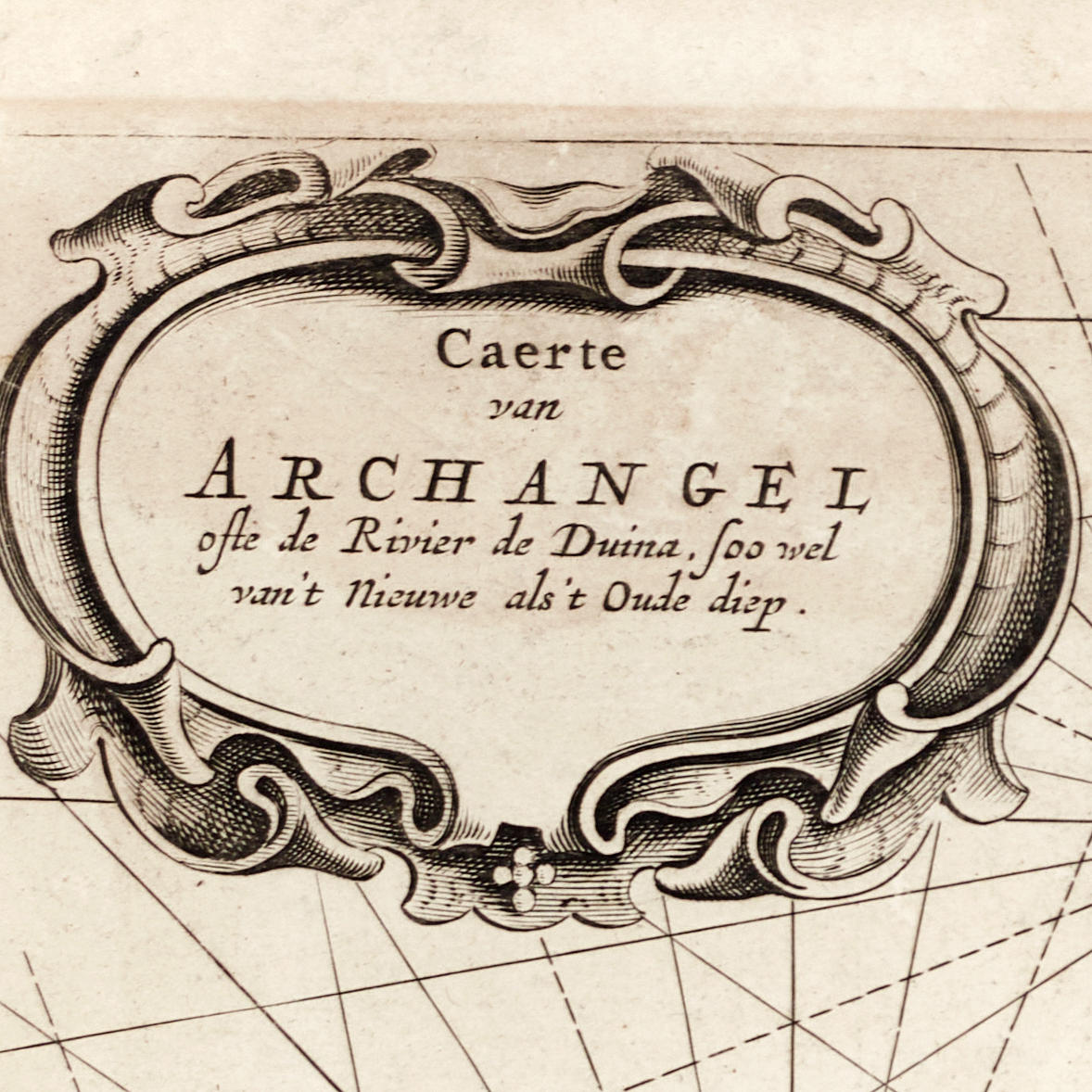
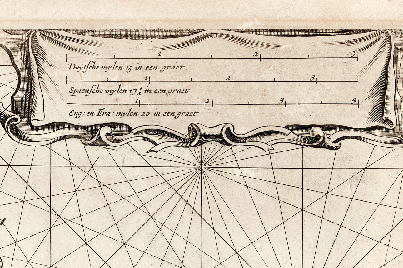
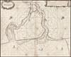
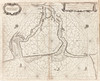
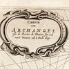
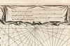
4783820. LOOTSMAN, Caerte van Archangel, ca 1663/66.
Description
Condition
Yellowed, discoloration after passepartout from previous framing. Discoloration along the middle fold. Fed on paper. Stains. Two areas (about 35x10mm, and about 7x10mm) with paper thinner at the top in the middle, where the printing ink is worn away. A star-shaped tear (about 20x20mm) on the right part (to the left of “S. Niclaes”). A few tears (about 5-35mm) in the margin (and in the image surface). The middle fold with rips at the top (50mm, and with pleats) and at the bottom (40mm). Paper thinning on verso.
Not framed.
Theme
Francesco Bacoccoli Collection - The Golden Era of Cartography: Part I
Item details have been automatically translated. We are not responsible for translation errors. Hide the original Swedish texts.Show original in Swedish.