THE ROAD FROM LONDON TO ST. DAVIDS — STRIP ROAD MAP ATTRIBUTED TO THOMAS KITCHIN, C. 1767.

Images

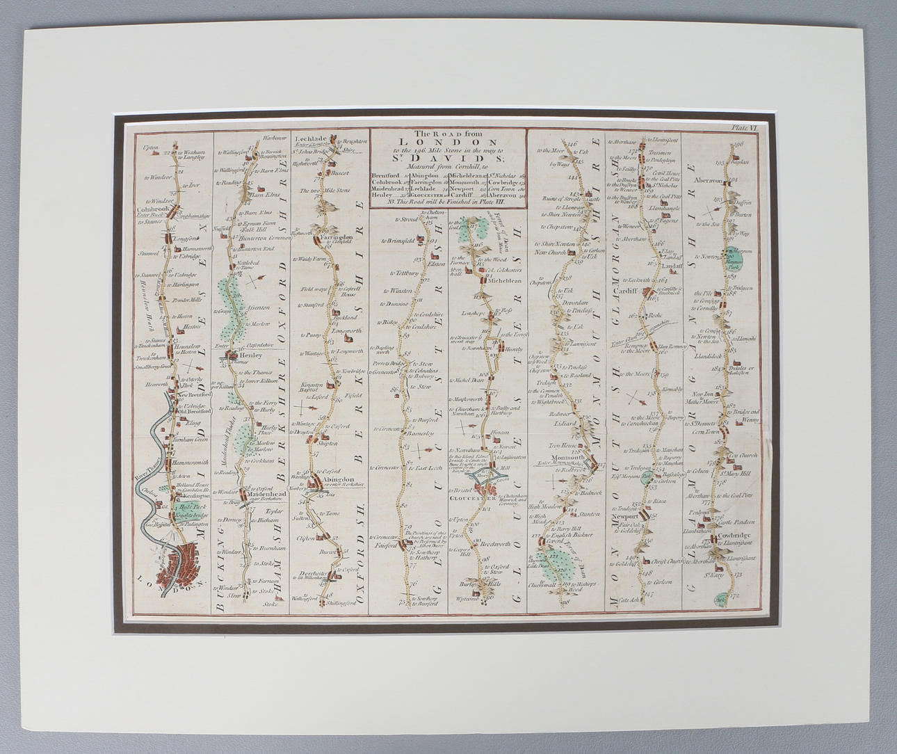
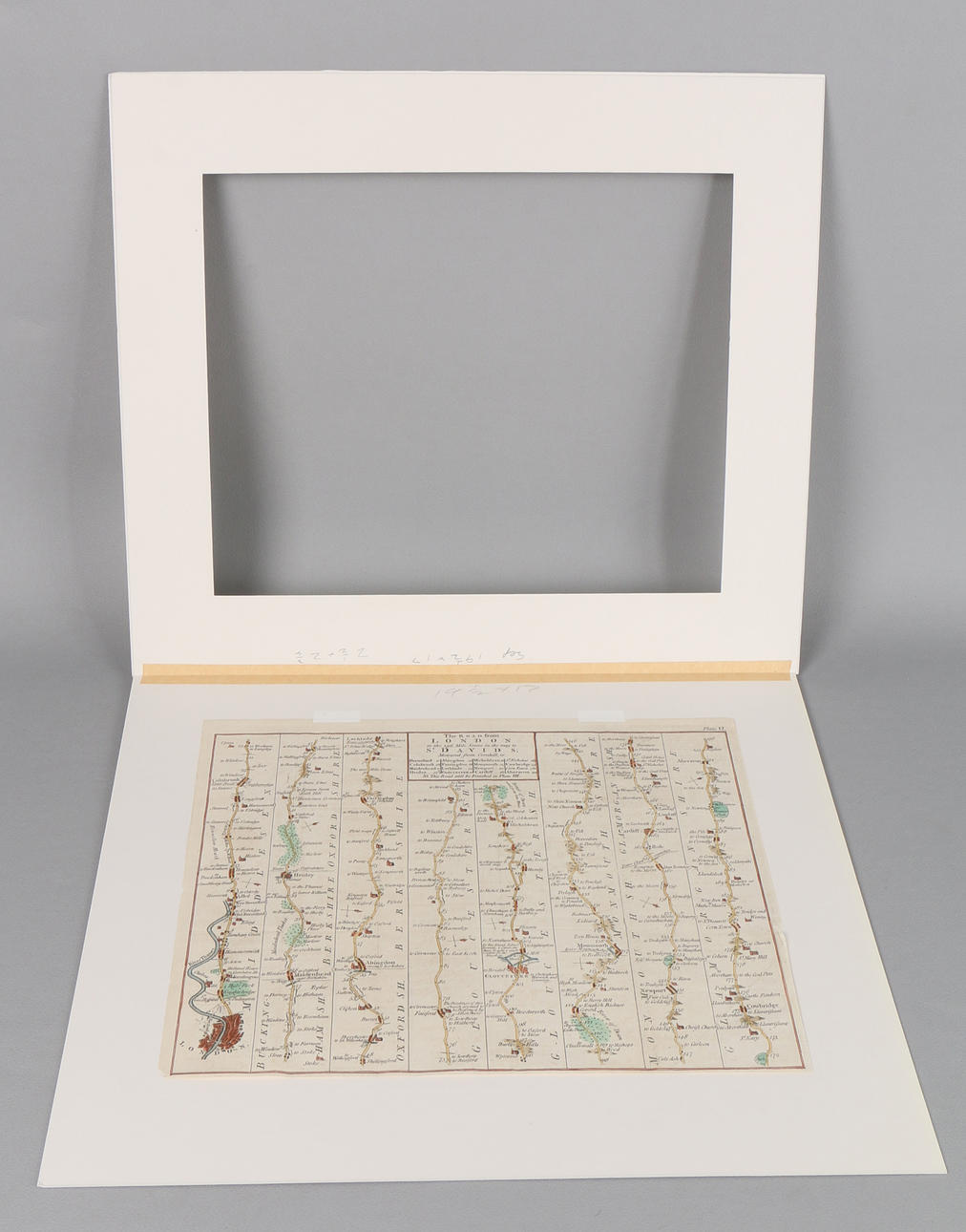
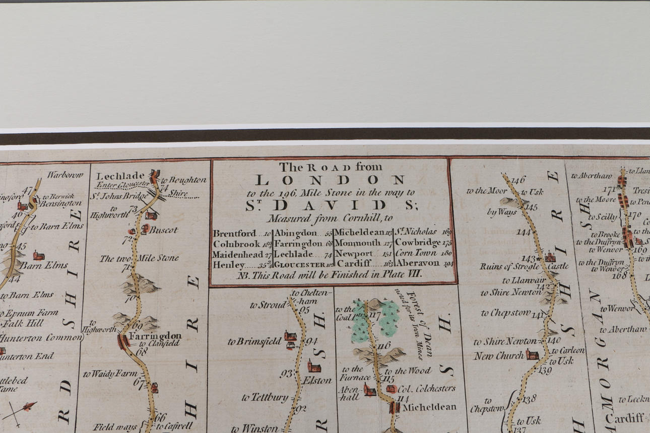

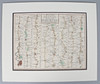
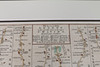
4394633. THE ROAD FROM LONDON TO ST. DAVIDS — STRIP ROAD MAP ATTRIBUTED TO THOMAS KITCHIN, C. 1767.
Description
Condition
Mounted, generally good, with some minor fading.