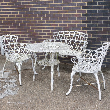
201. COALBROOKDALE INSPIRED GARDEN SET. (5).
4 days
Estimate
290 – 406 EUR

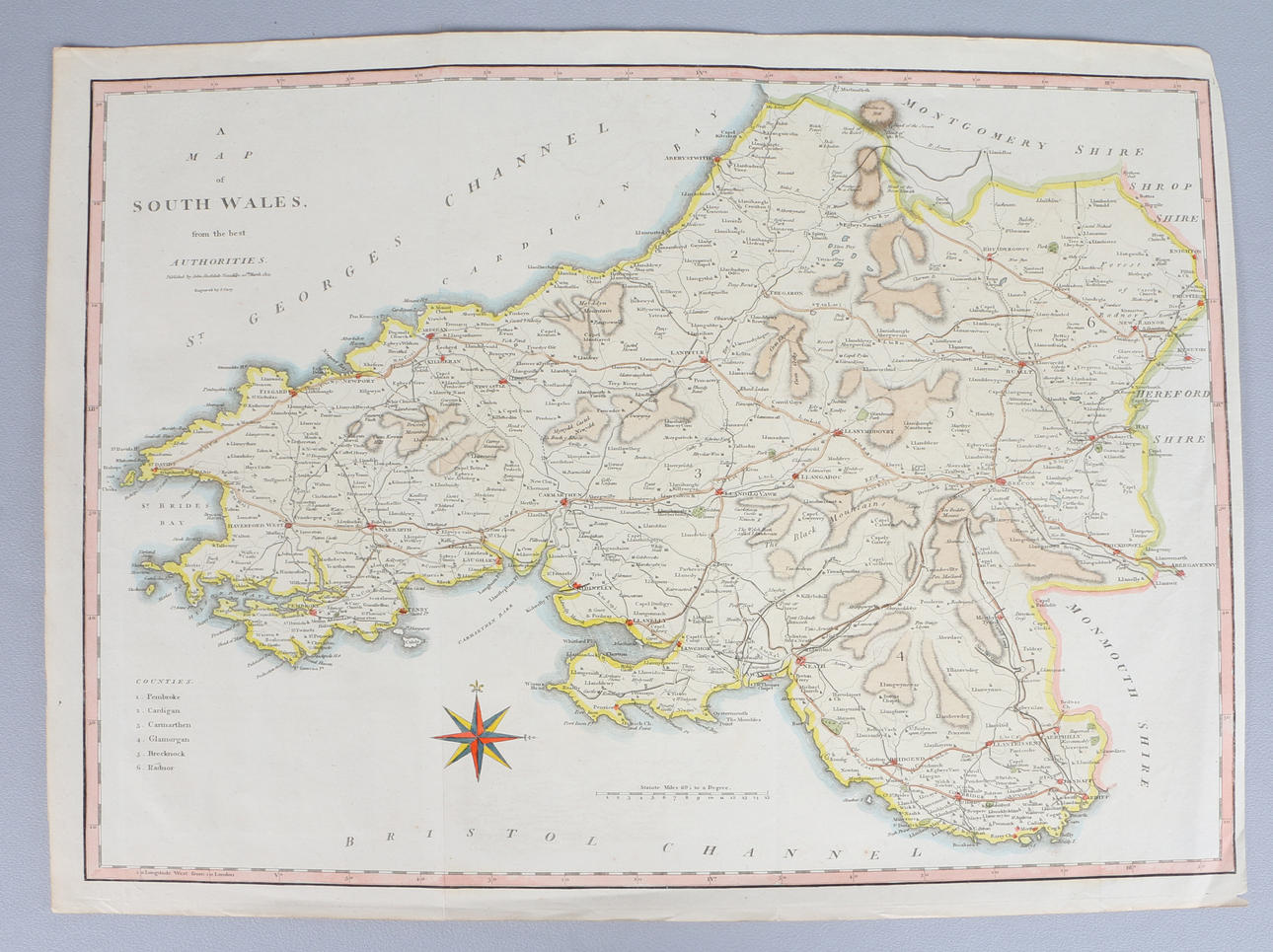
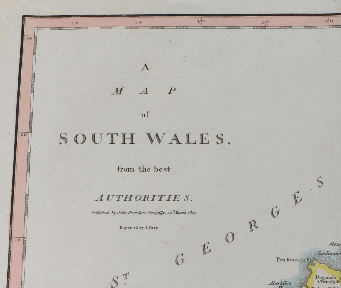
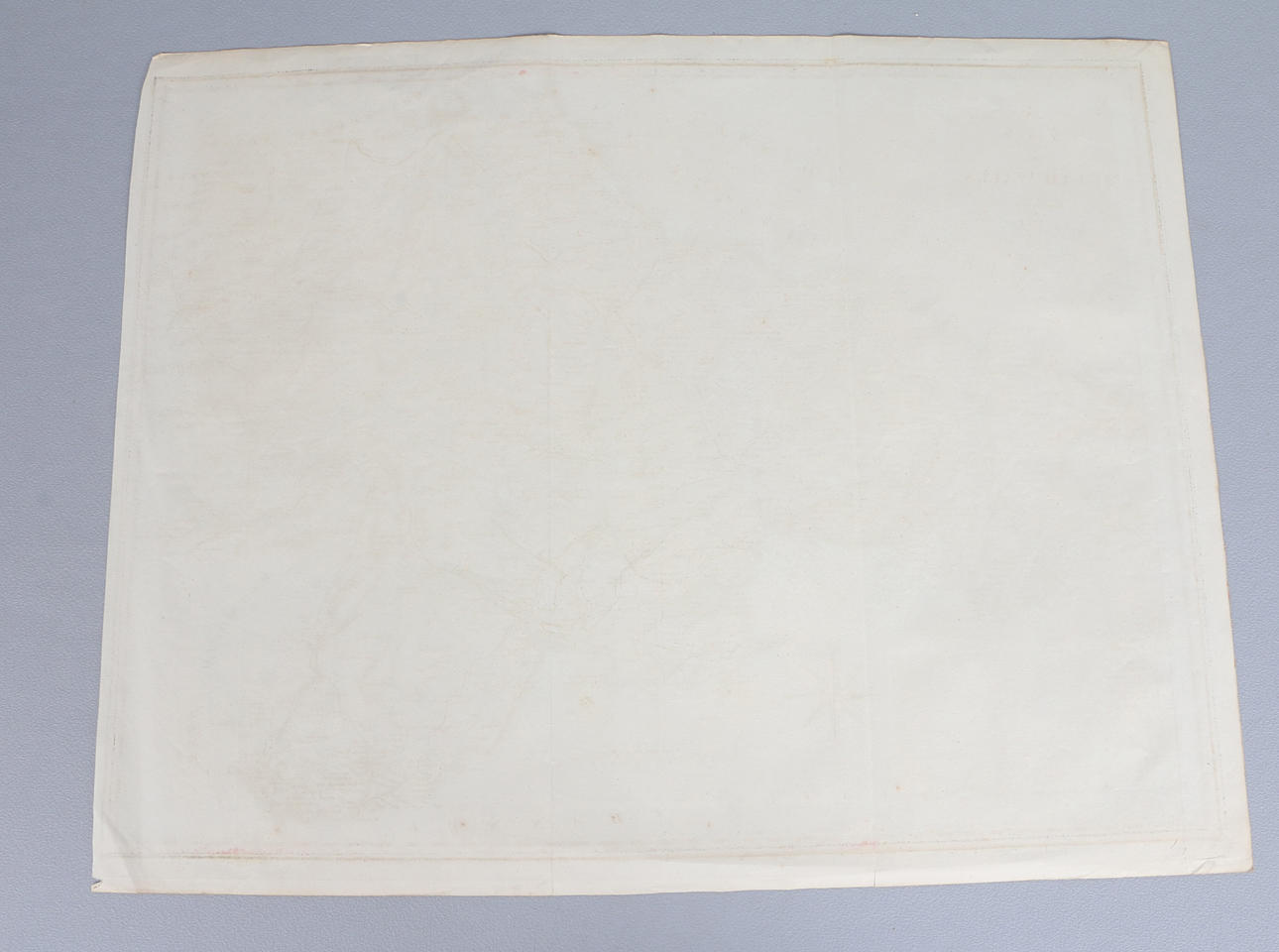
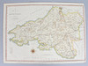

an early 19th-century map titled "A Map of South Wales from the best Authorities," published by John Stockdale of Piccadilly, London, on 26th March 1805, and engraved by J. Cary, 42cm x 53cm (unframed).
A couple of fold lines mainly running through the map, general fading and wear throughout.
Do you have something similar to sell? Get your items valued free of charge!
| 1 | 26 Jul, 06:40 | 29 EUR |
an early 19th-century map titled "A Map of South Wales from the best Authorities," published by John Stockdale of Piccadilly, London, on 26th March 1805, and engraved by J. Cary, 42cm x 53cm (unframed).
A couple of fold lines mainly running through the map, general fading and wear throughout.
Do you have something similar to sell? Get your items valued free of charge!
Provide your location to see transport options and prices.
Please try again in a moment. If it still doesn't work, contact support.