MAP SÖDERMANLAND, LANTMÄTERIET, CA 1750.

Images

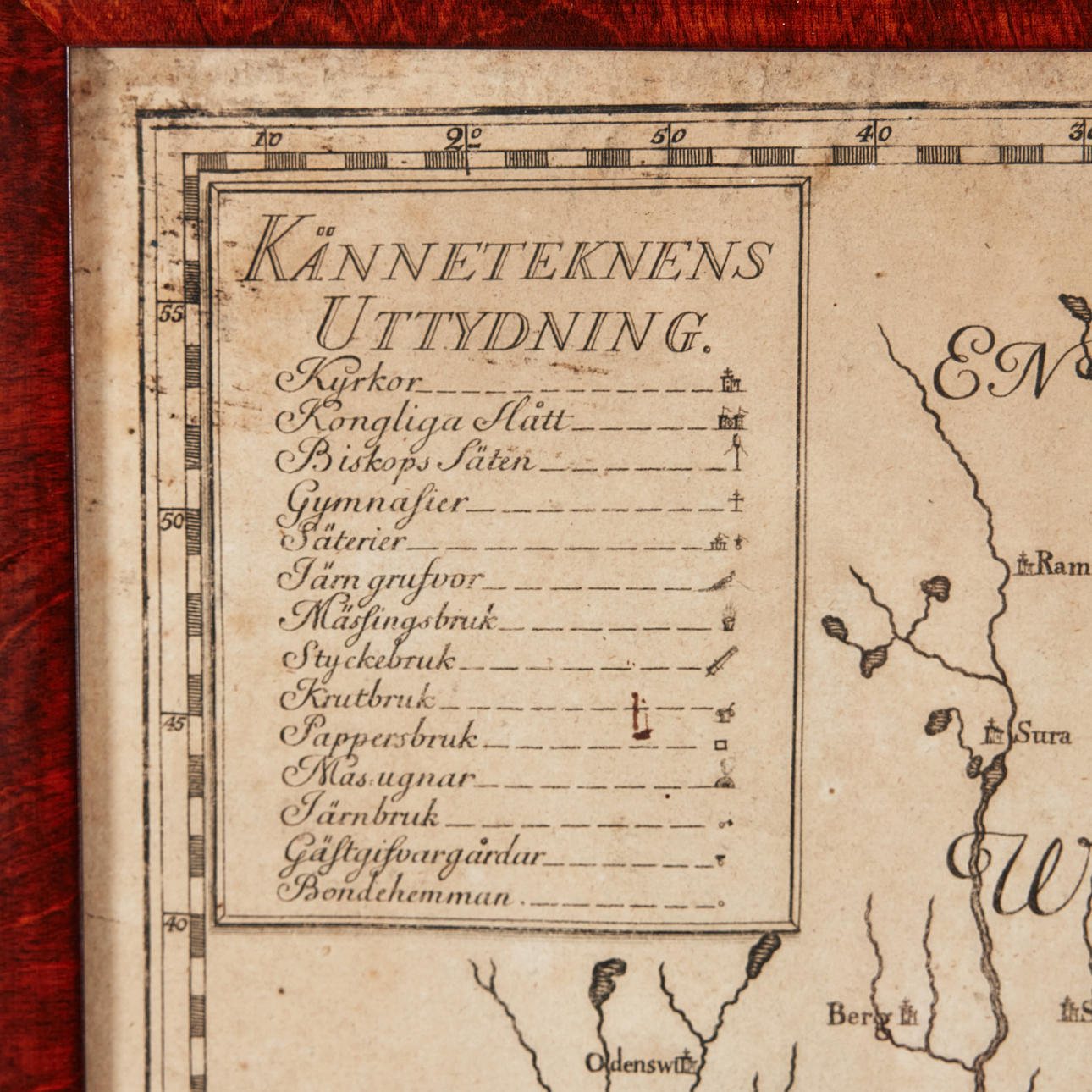
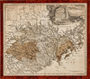

4377087. MAP SÖDERMANLAND, LANTMÄTERIET, CA 1750.
Description
Condition
Central creases as when publishing, some damage, stains, close to the cut.
The item details are approximate automatic translations. Auctionet.com is not responsible for any translation errors. Hide the original Swedish texts.Show the original Swedish texts.