MAP DENMARK, GERMANY BY DE FER, ca 1705.

Images
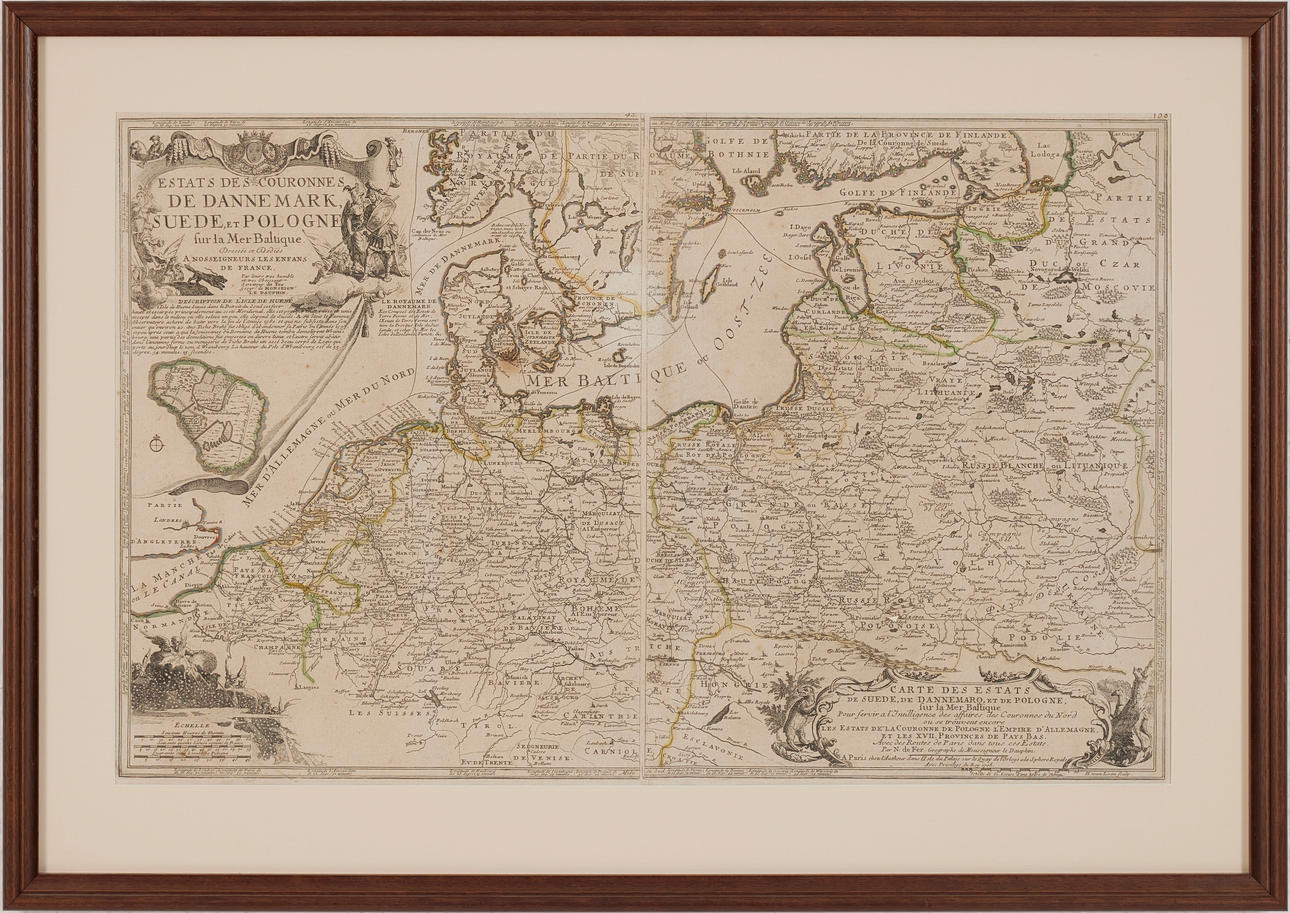

4149113. MAP DENMARK, GERMANY BY DE FER, ca 1705.
Description
Condition
Folds, not examined from frame.
The item details are approximate automatic translations. Auctionet.com is not responsible for any translation errors. Hide the original Swedish texts.Show the original Swedish texts.