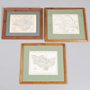
JOHN CARY. A Map of Yorkshire, c. 1787, and two others, similar (3).
This auction is closed, but maybe you like the following items?
4100481. JOHN CARY. A Map of Yorkshire, c. 1787, and two others, similar (3).
Images
4100481. JOHN CARY. A Map of Yorkshire, c. 1787, and two others, similar (3).
Description
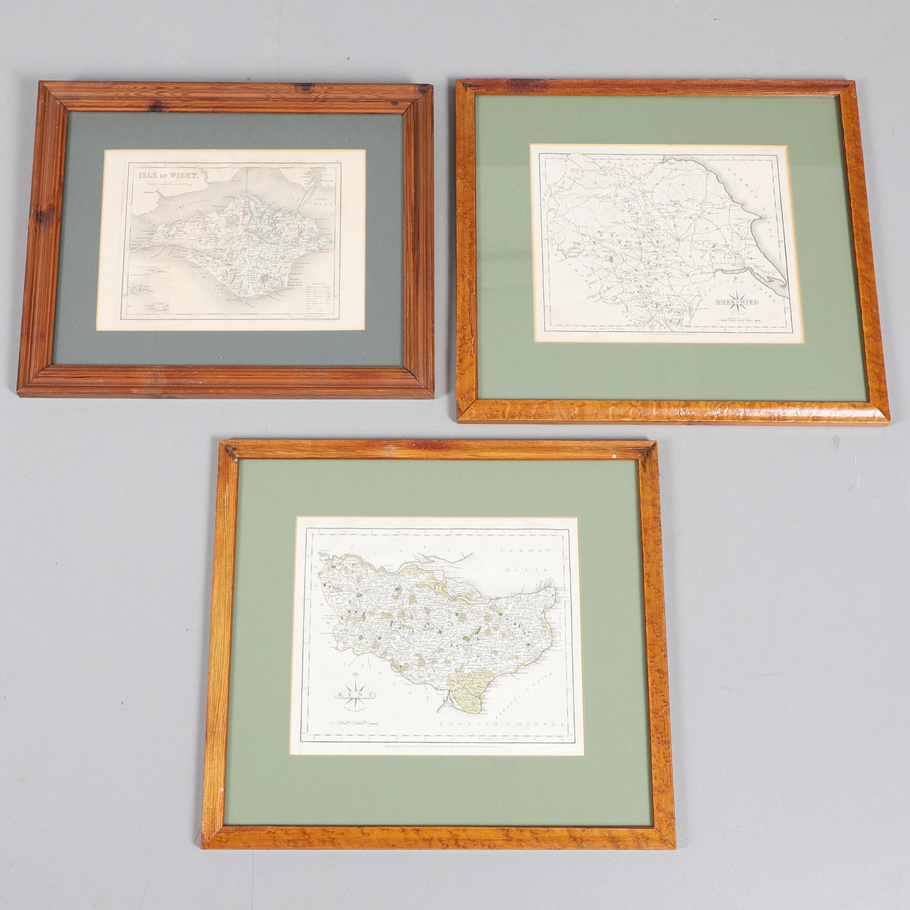
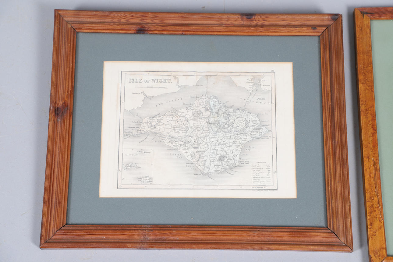
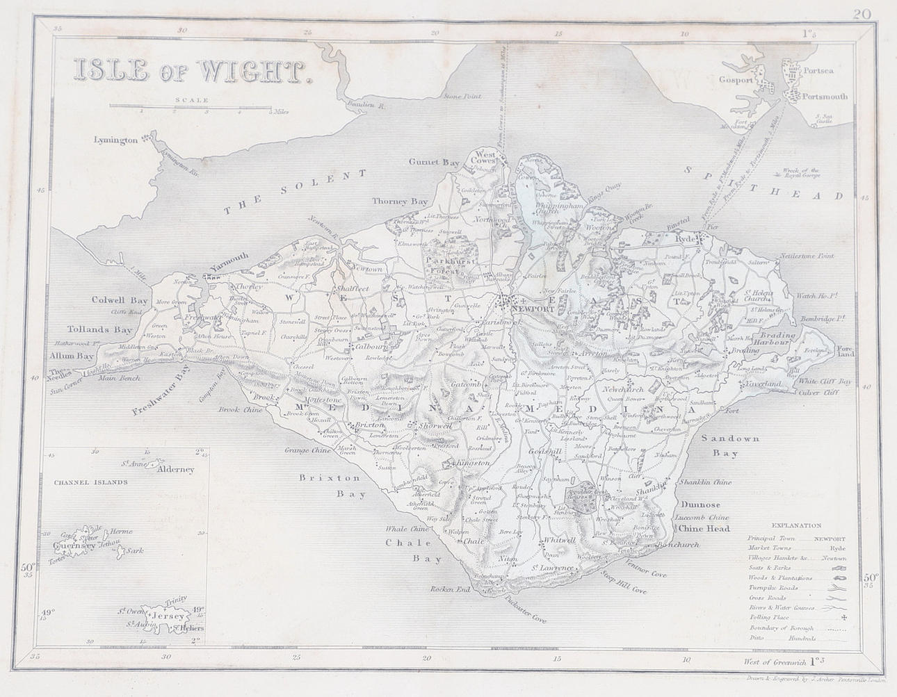
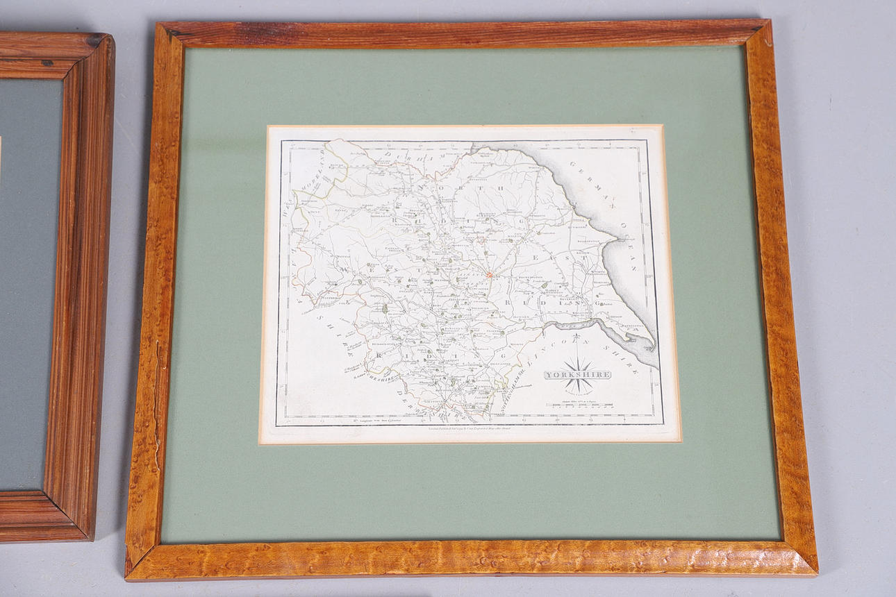
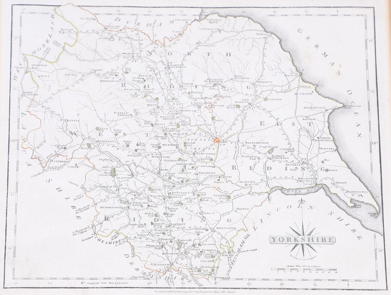
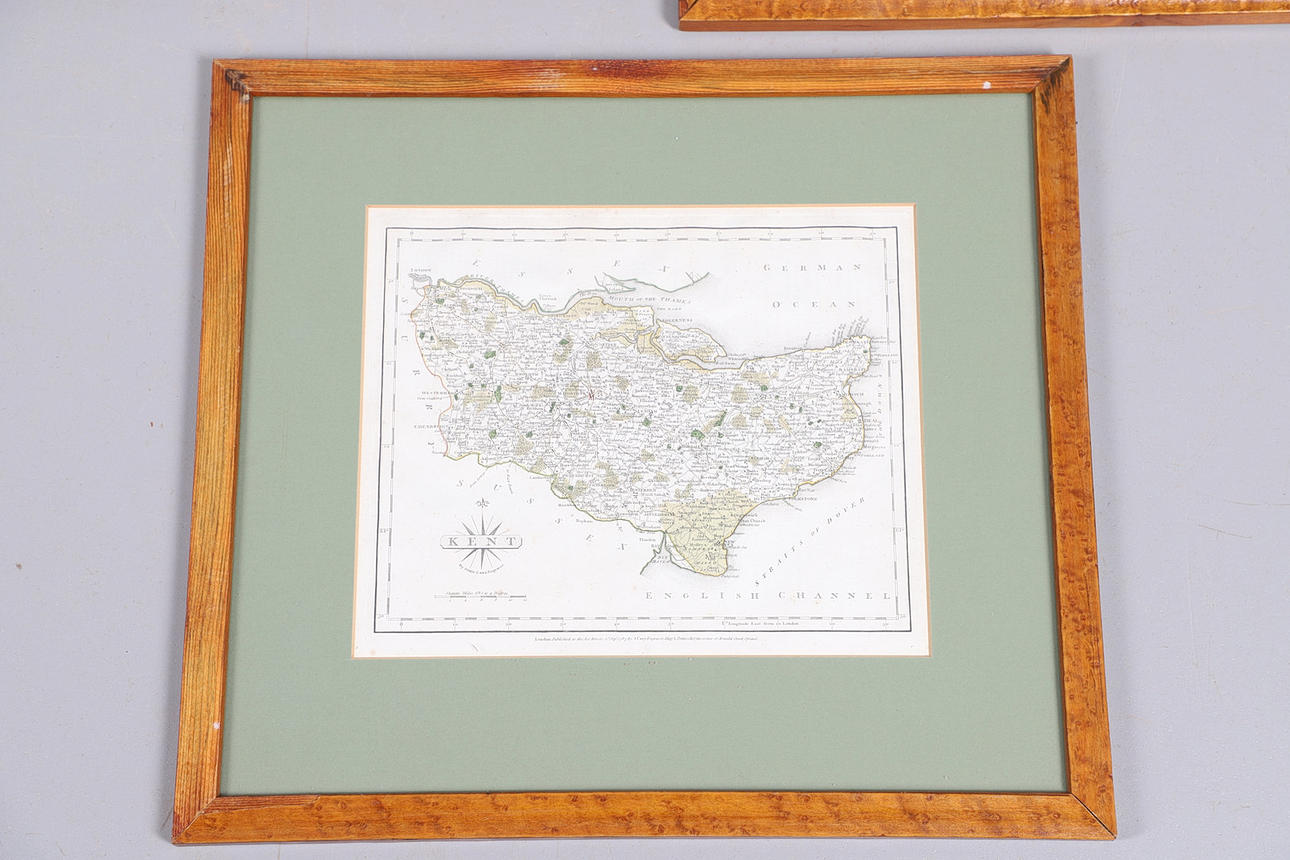
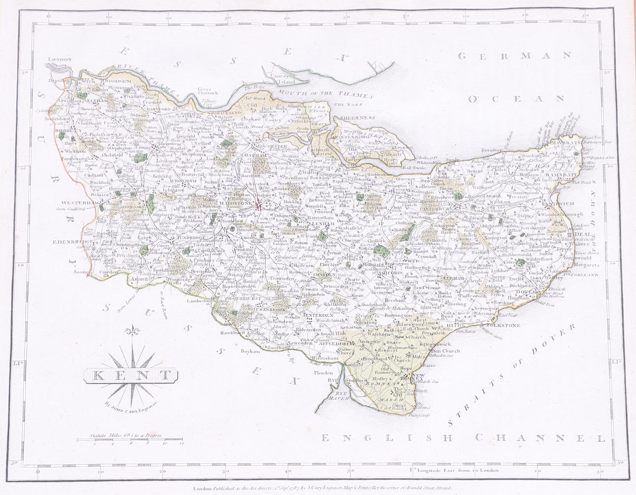
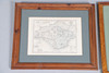
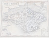
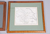
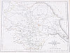
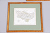
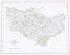
John Cary. A Map of Yorkshire, hand-coloured engraved map, 285mm x 235mm, London, J. Cary 1787, later framed and glazed 44.5cm x 40.5cm overall; A Map of Kent, hand-coloured engraved map, 285mm x 235mm, London, J. Cary, 1787, later framed and glazed 44.5cm x 40.5cm overall; J. Archer. Isle of Wight, engraved map, with inset plan of Jersey and the Channel Islands, 282mm x 205mm, later framed and glazed, 43cm x 35.5cm overall (3).
Condition
(i) light spotting and slight creases (ii) light spotting and slight creases (iii) occasional browning and spotting, central fold with dust marks.
4100481. JOHN CARY. A Map of Yorkshire, c. 1787, and two others, similar (3).
Description
John Cary. A Map of Yorkshire, hand-coloured engraved map, 285mm x 235mm, London, J. Cary 1787, later framed and glazed 44.5cm x 40.5cm overall; A Map of Kent, hand-coloured engraved map, 285mm x 235mm, London, J. Cary, 1787, later framed and glazed 44.5cm x 40.5cm overall; J. Archer. Isle of Wight, engraved map, with inset plan of Jersey and the Channel Islands, 282mm x 205mm, later framed and glazed, 43cm x 35.5cm overall (3).
Condition
(i) light spotting and slight creases (ii) light spotting and slight creases (iii) occasional browning and spotting, central fold with dust marks.