MAP OF TURKEY AND CYPRUS, Blaeu ca 1634.

Images
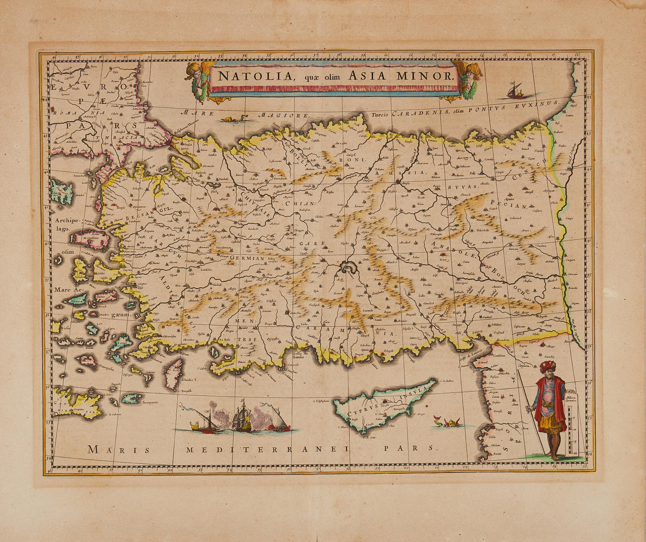
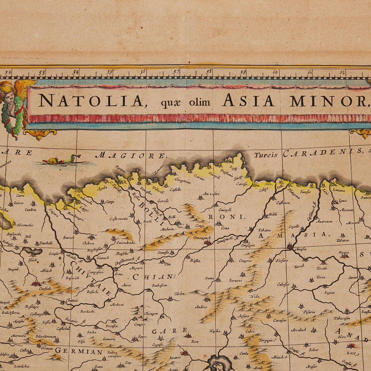
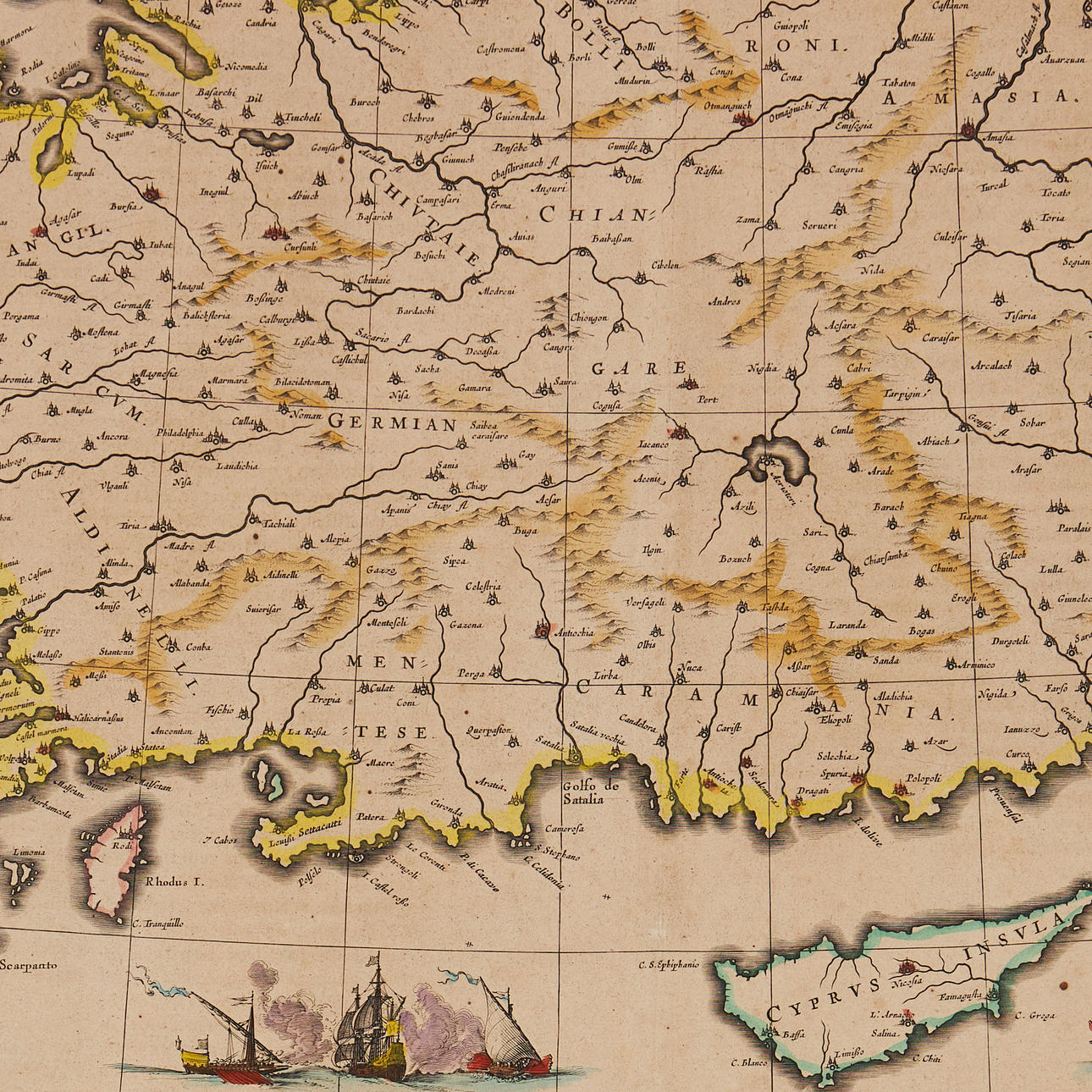
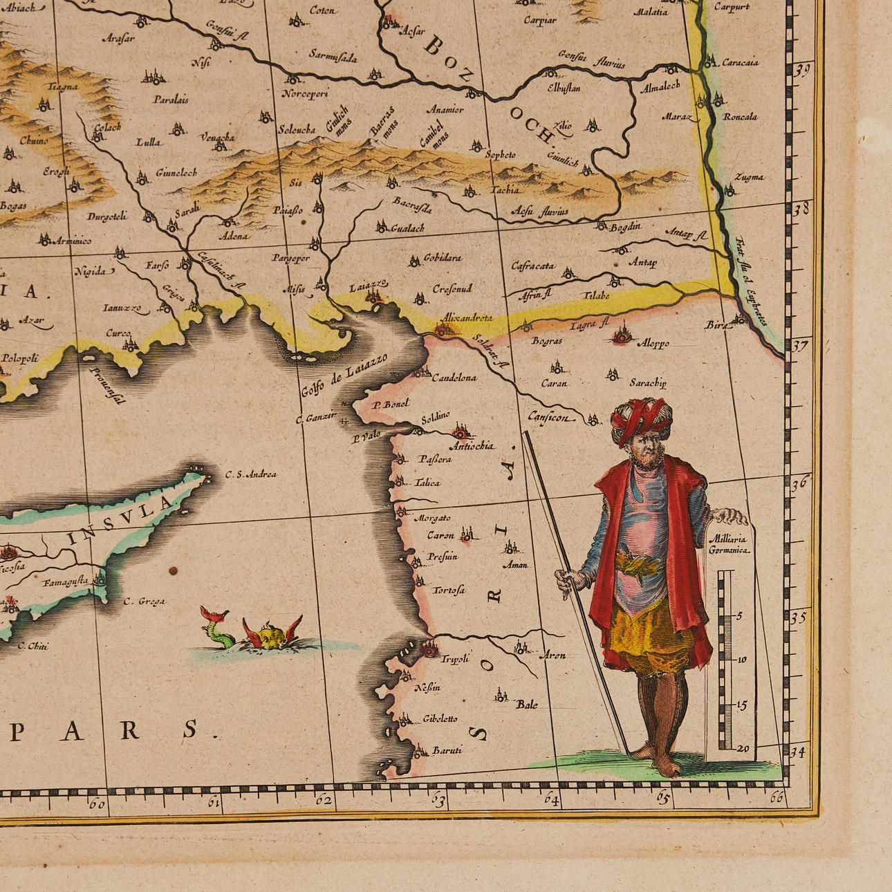
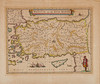
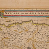
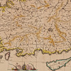
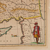
3027603. MAP OF TURKEY AND CYPRUS, Blaeu ca 1634.
Description
Condition
Centrefold as issued. Some browning to margins. Small spot.
Theme
The item details are approximate automatic translations. Auctionet.com is not responsible for any translation errors. Hide the original Swedish texts.Show the original Swedish texts.