MAP STOCKHOLM ARCHIPELAGO BY KLINT, 1813.

Images
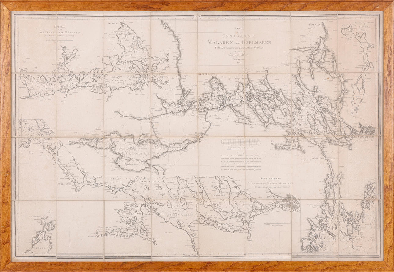
2465780. MAP STOCKHOLM ARCHIPELAGO BY KLINT, 1813.
Description
Condition
Damage, browning, repairs losses.
The item details are approximate automatic translations. Auctionet.com is not responsible for any translation errors. Hide the original Swedish texts.Show the original Swedish texts.