MAPS, SPETSBERGEN 2 pcs, late 18th century.

Images
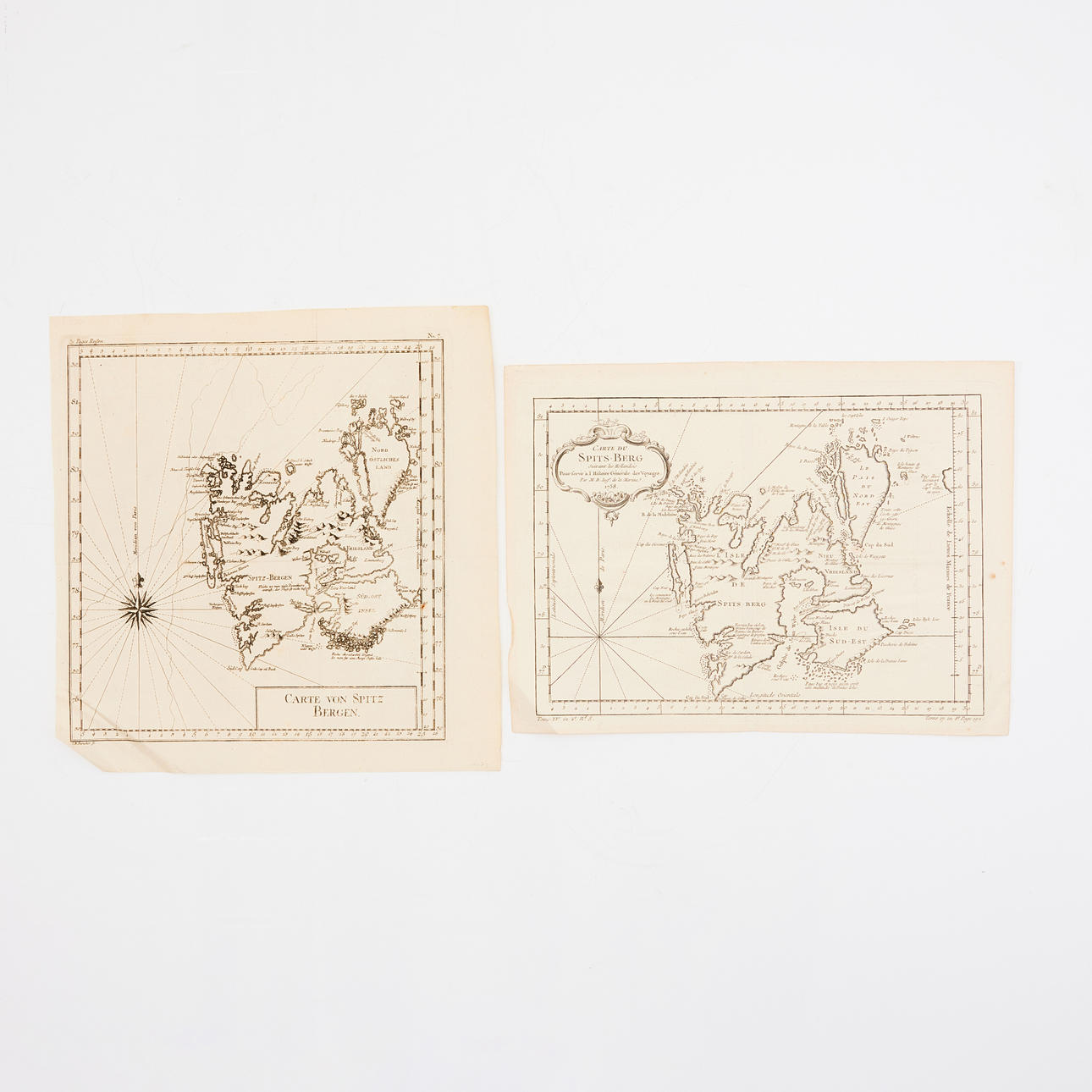
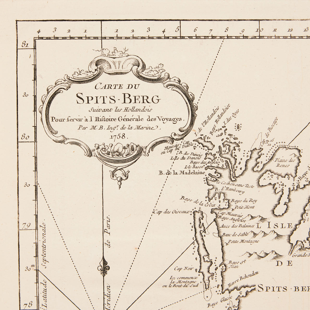
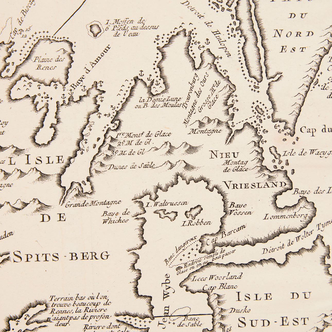
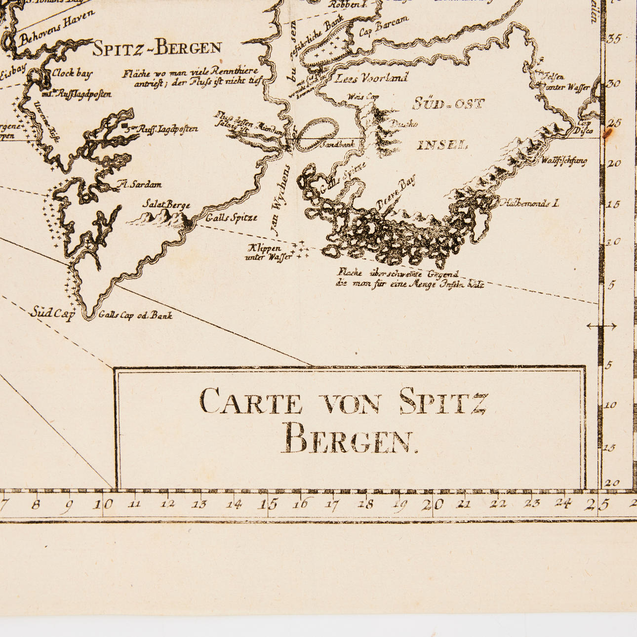
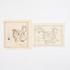
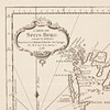
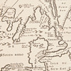

2412443. MAPS, SPETSBERGEN 2 pcs, late 18th century.
Description
Condition
Center crease, some creases, some stains in margin.
Theme
The item details are approximate automatic translations. Auctionet.com is not responsible for any translation errors. Hide the original Swedish texts.Show the original Swedish texts.