KAART VAN SWEDEN, about 1750.

Images


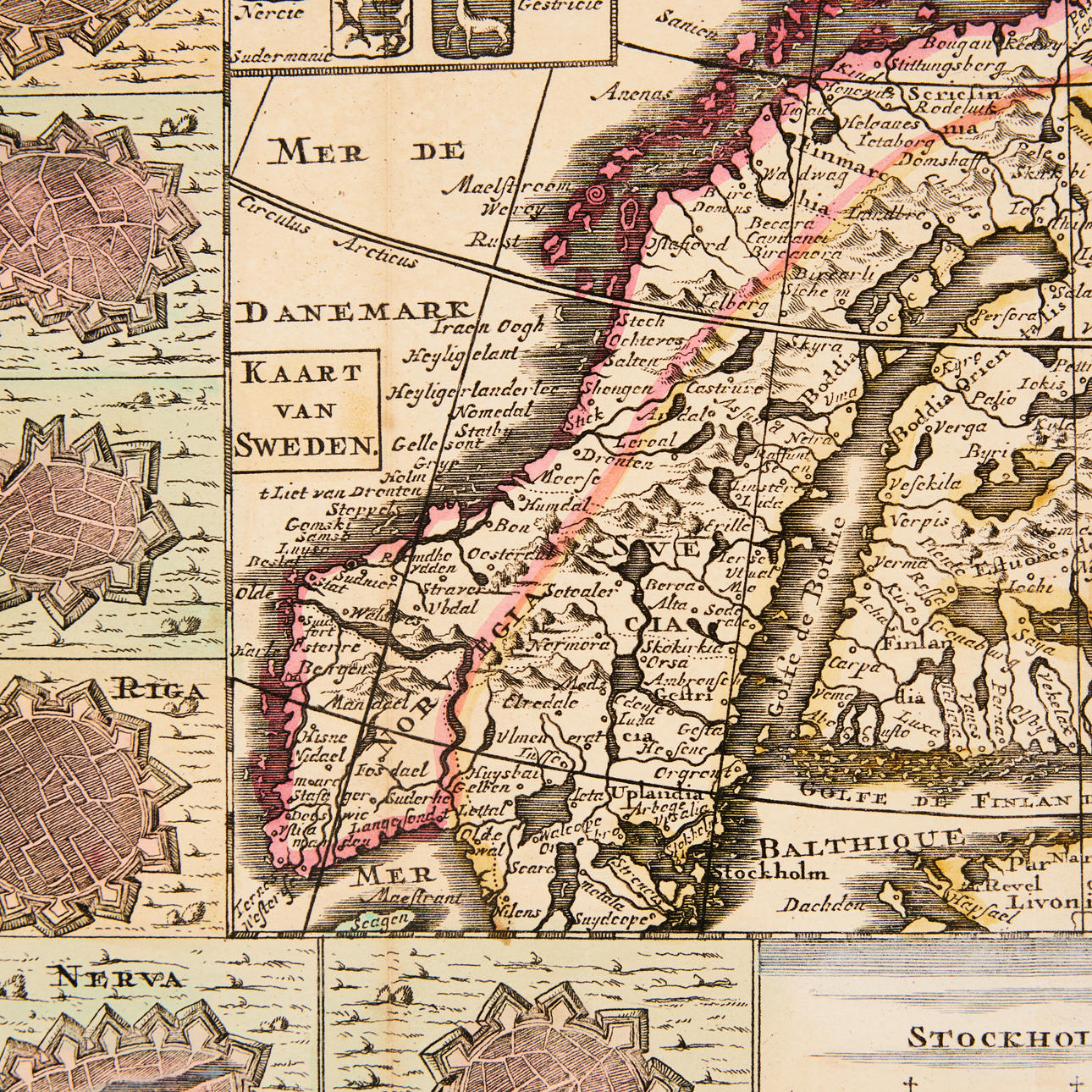
2408512. KAART VAN SWEDEN, about 1750.
Description
Condition
Some folds with browning, partly yellowed.
Theme
The item details are approximate automatic translations. Auctionet.com is not responsible for any translation errors. Hide the original Swedish texts.Show the original Swedish texts.