Map of Morocco by Mercator 1620.

Images
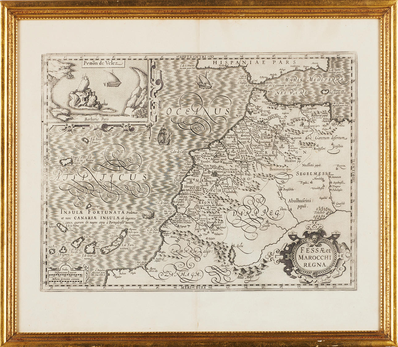
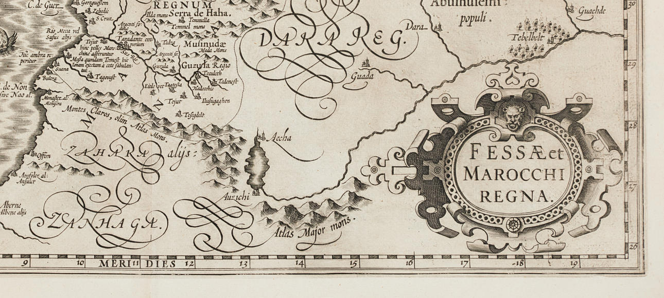
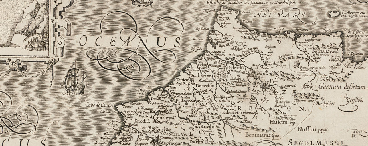
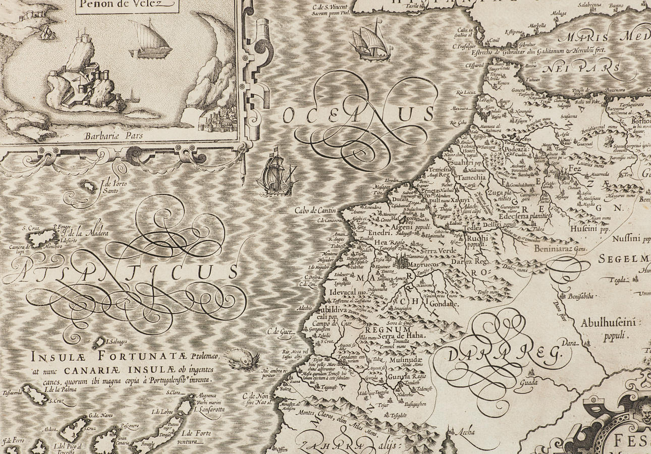
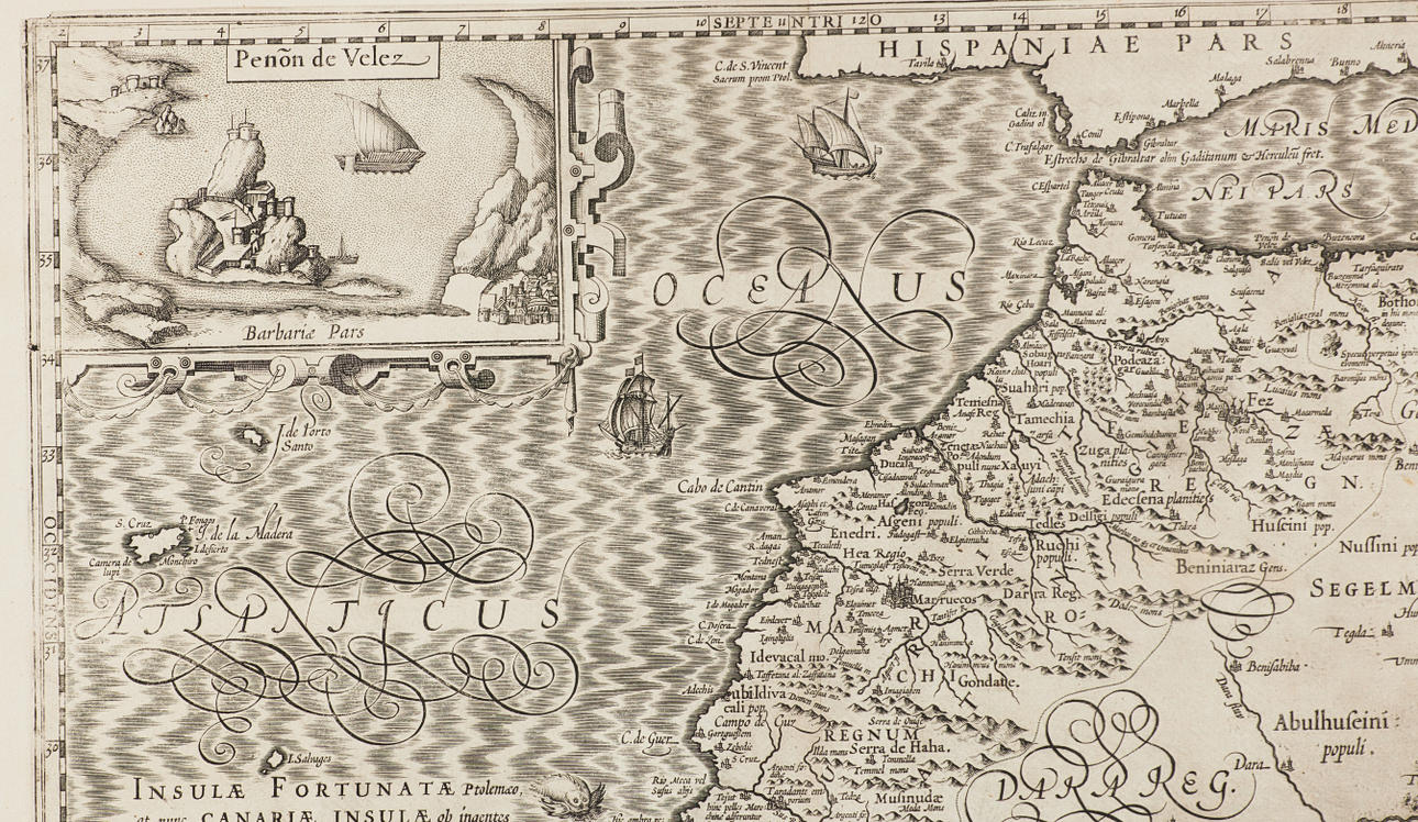
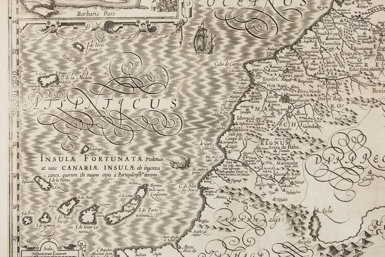

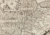
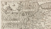
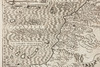
1842728. Map of Morocco by Mercator 1620.
Description
Condition
Centrefold as issued, some slight creases.
Theme
The item details are approximate automatic translations. Auctionet.com is not responsible for any translation errors. Hide the original Swedish texts.Show the original Swedish texts.