HAND DRAWN MAP KOPPARBERG, VESTMANLAND, LATE 18TH CENTURY.

Images
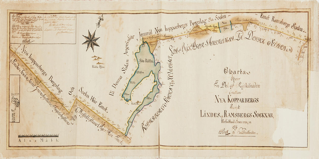

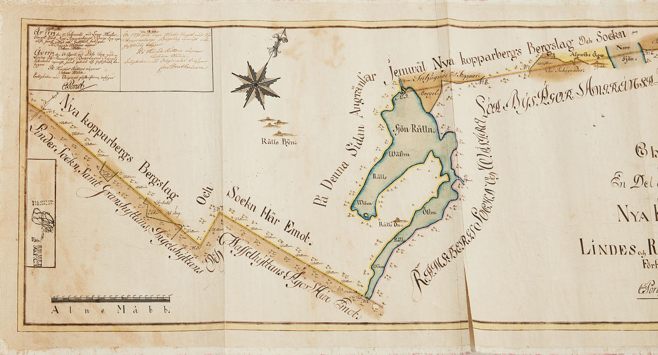
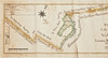
4545994. HAND DRAWN MAP KOPPARBERG, VESTMANLAND, LATE 18TH CENTURY.
Description
Condition
Some damage and tears, repairs, large loss of corners (no text).
Can be rolled.
Theme
The item details are approximate automatic translations. Auctionet.com is not responsible for any translation errors. Hide the original Swedish texts.Show the original Swedish texts.