MAP VESTMANLAND, LAND SURVEYING 1742.

Images
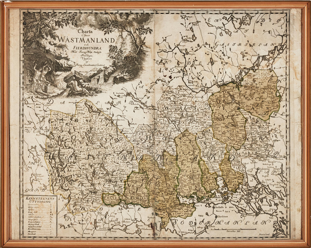
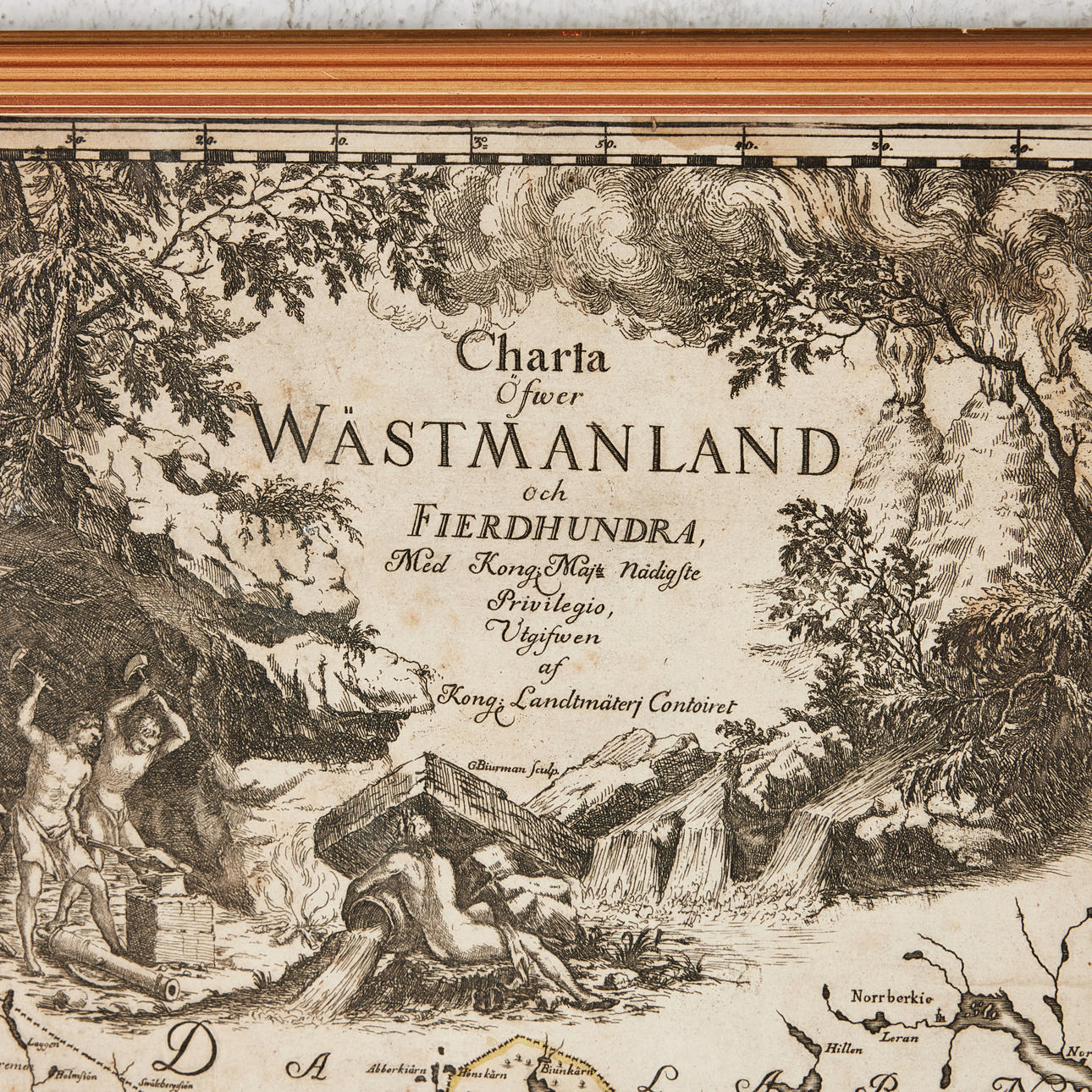
4373673. MAP VESTMANLAND, LAND SURVEYING 1742.
Description
Condition
Middle crease as when publishing, stains, mending in the middle fold, close to the cut.
Theme
The item details are approximate automatic translations. Auctionet.com is not responsible for any translation errors. Hide the original Swedish texts.Show the original Swedish texts.