ANTIQUE MAP. A FRAMED, ENGRAVED AND HAND COLORED MAP OF THE COUNTY OF GLOUCESTERSHIRE IN SOUTHWEST ENGLAND POSSIBLY BY THOMAS CONDER IN 1784.

Images
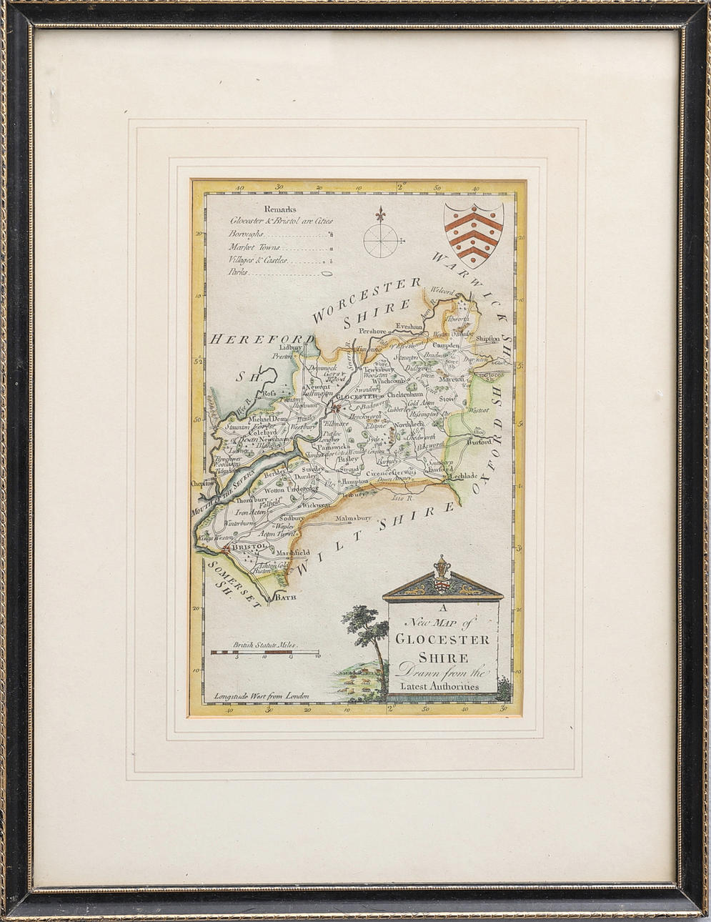
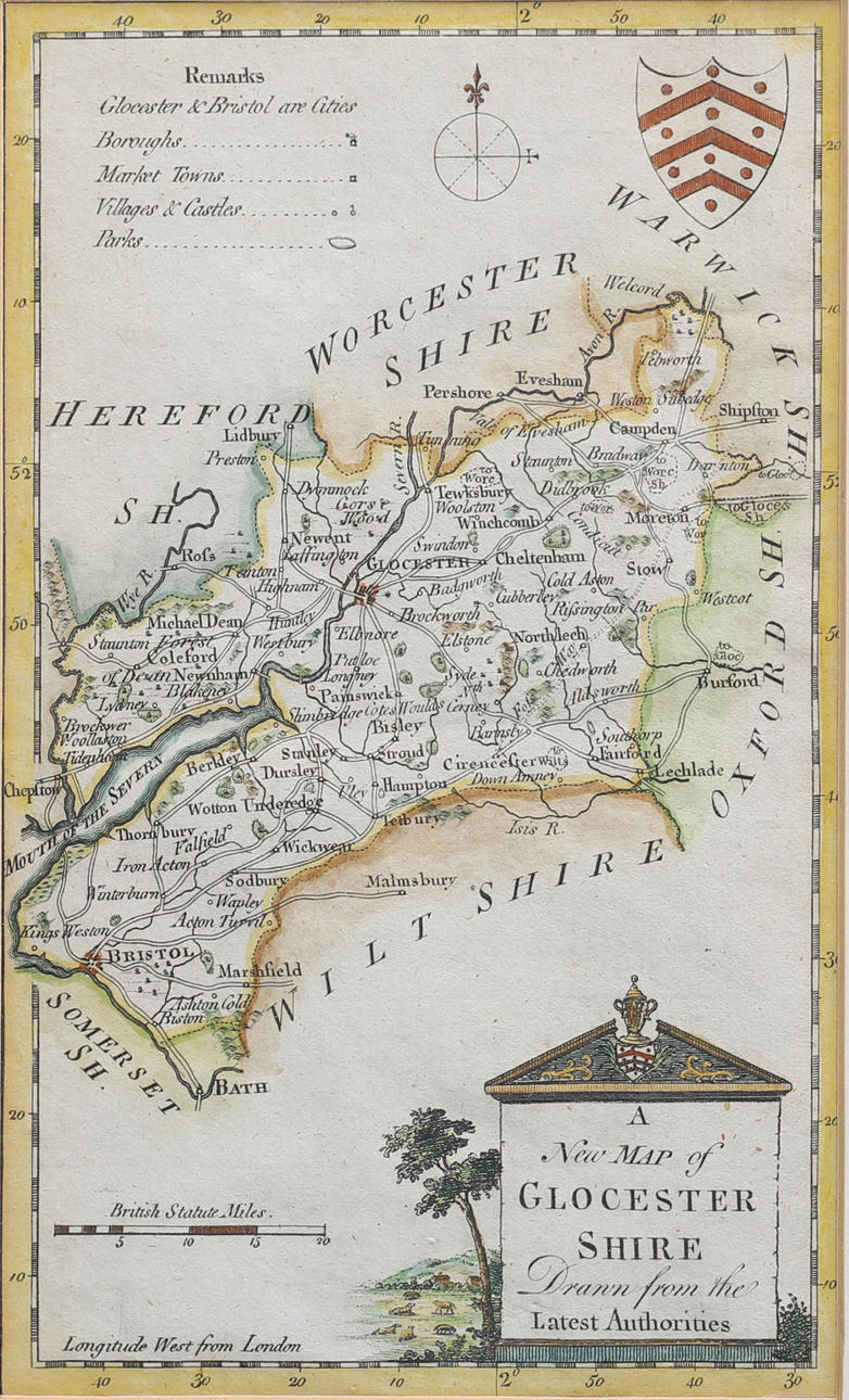
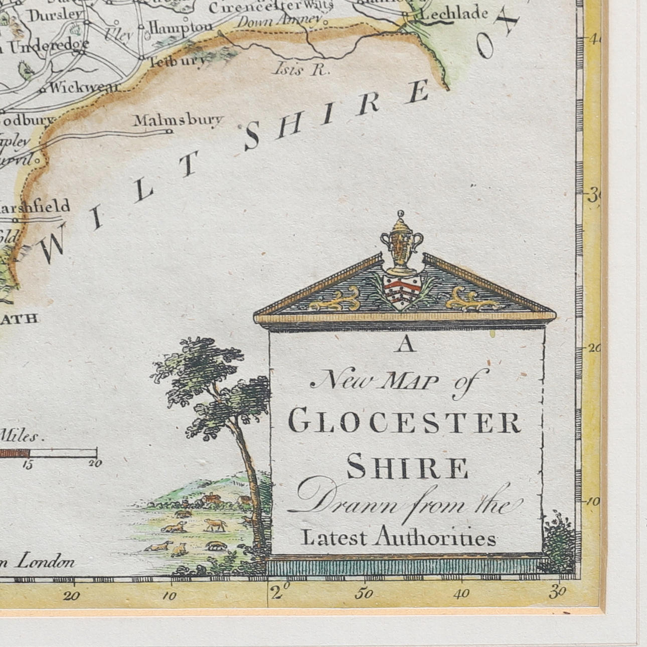
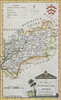
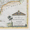
2920008. ANTIQUE MAP. A FRAMED, ENGRAVED AND HAND COLORED MAP OF THE COUNTY OF GLOUCESTERSHIRE IN SOUTHWEST ENGLAND POSSIBLY BY THOMAS CONDER IN 1784.
Description
Condition
Good condition! Decorative. Not examined out of frame.
Theme
The item details are approximate automatic translations. Auctionet.com is not responsible for any translation errors. Hide the original Swedish texts.Show the original Swedish texts.