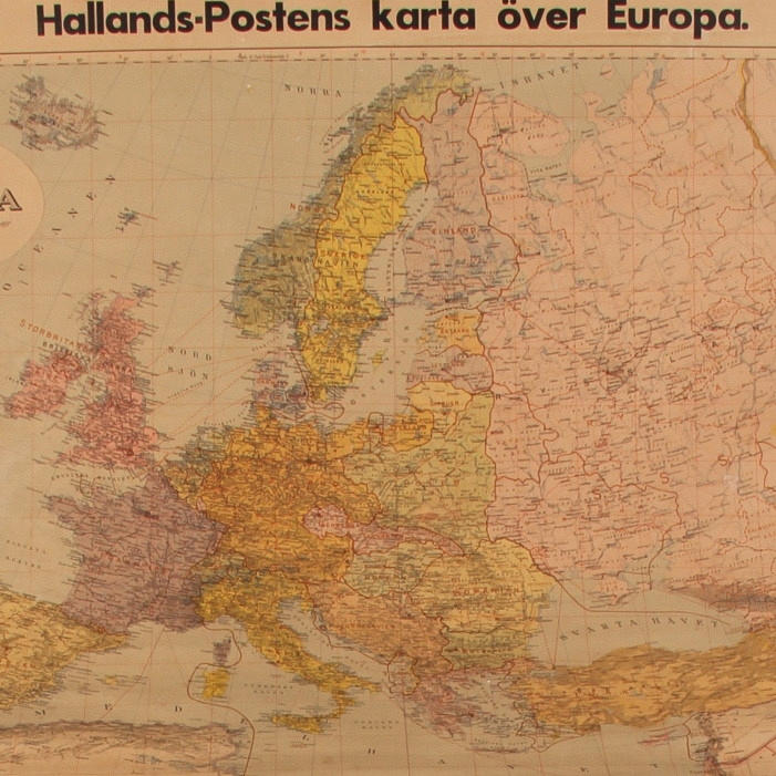
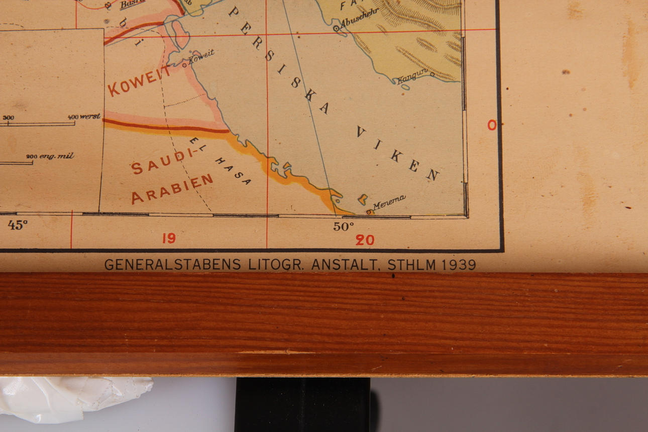
192869. MAP, Hallandsposten's map of Europe, 1939.
Images
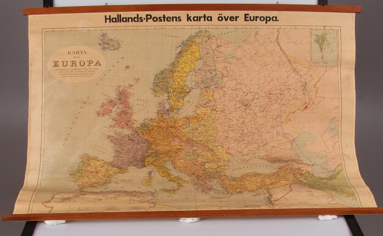
192869. MAP, Hallandsposten's map of Europe, 1939.
Description
Prepared by Professor Sten De Geer with the participation of Colonel H. Byström. Revised by the General Staff's lithographic institute under the direction of Captain Bror Thordeman 116 x 83 cm.
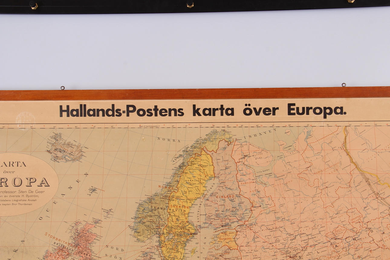
192869. MAP, Hallandsposten's map of Europe, 1939.
Description
Prepared by Professor Sten De Geer with the participation of Colonel H. Byström. Revised by the General Staff's lithographic institute under the direction of Captain Bror Thordeman 116 x 83 cm.