WAR MAPS 19TH CENTURY (13).
This auction is closed, but maybe you like the following items?

Images

Description
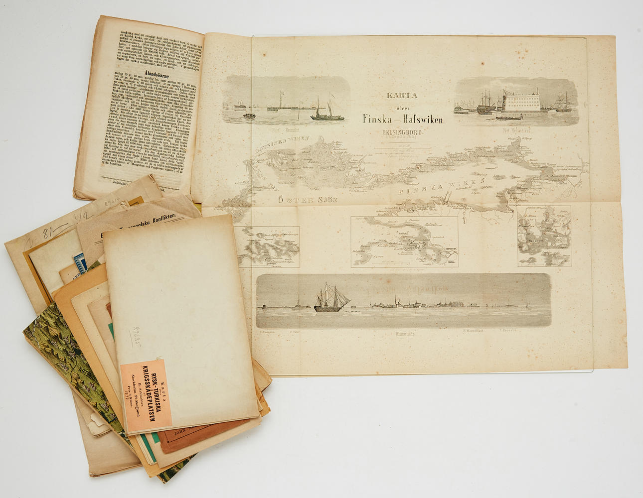
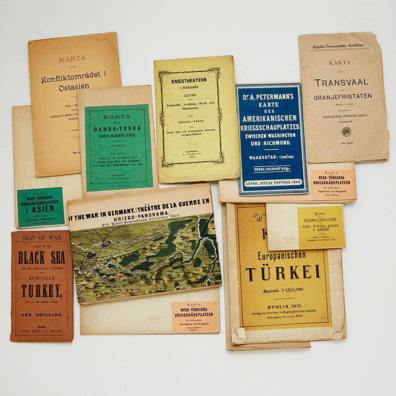
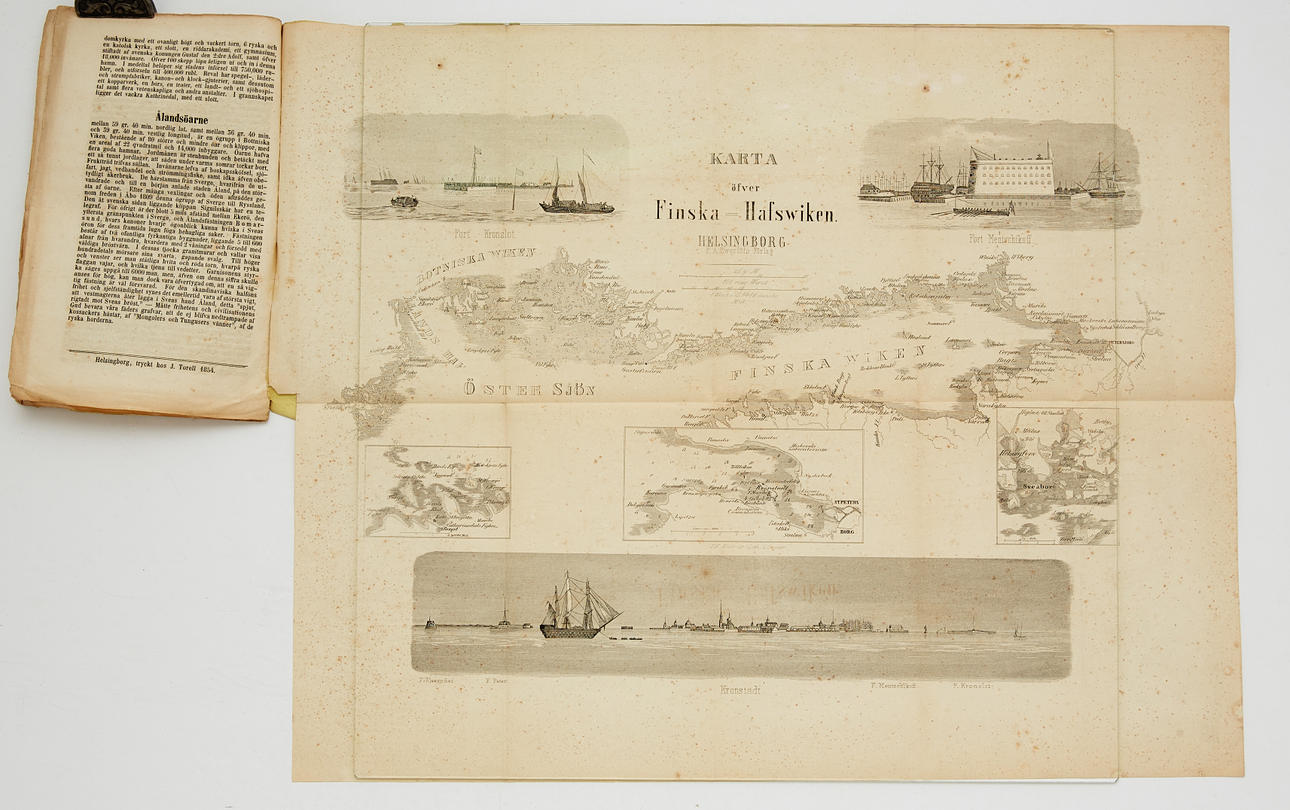
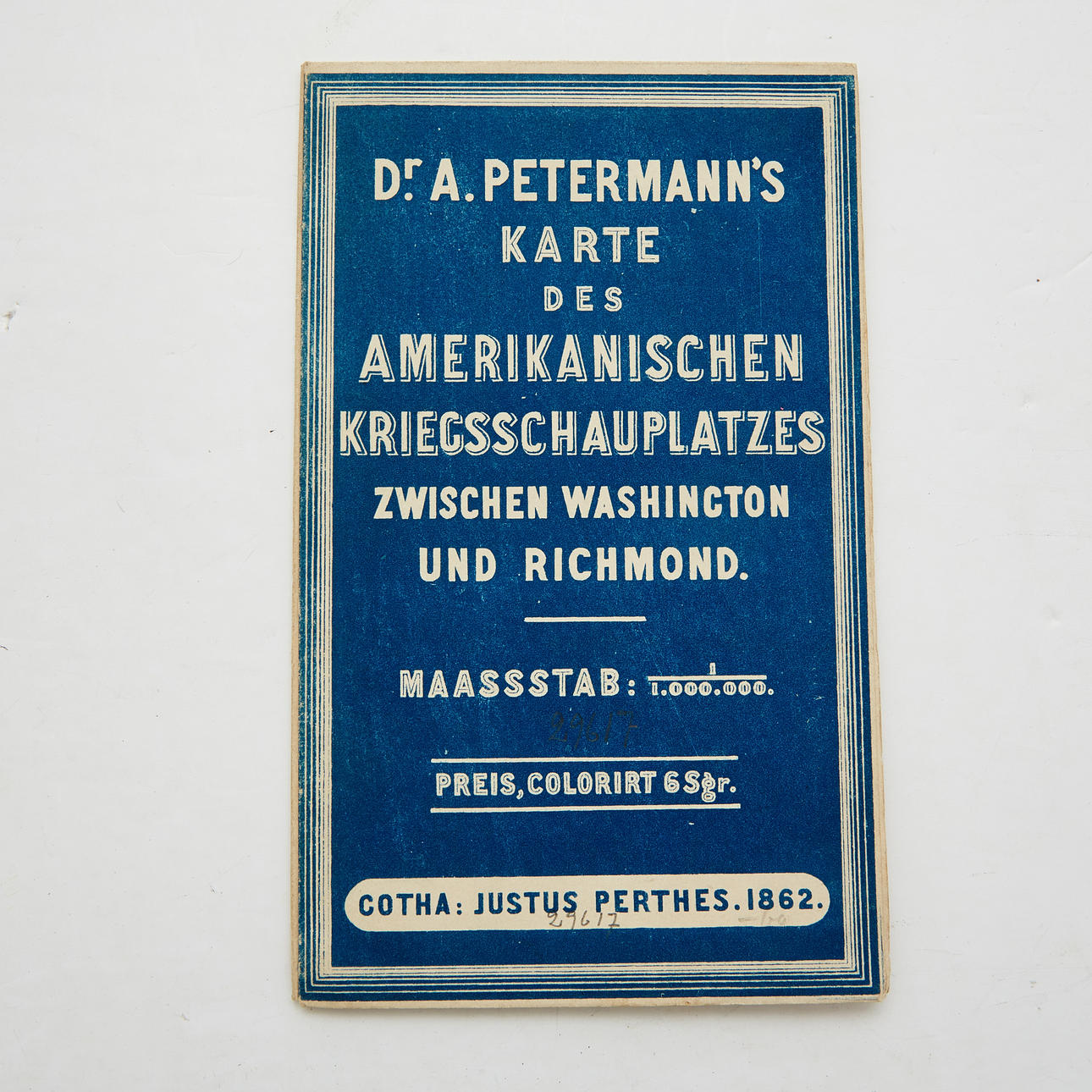
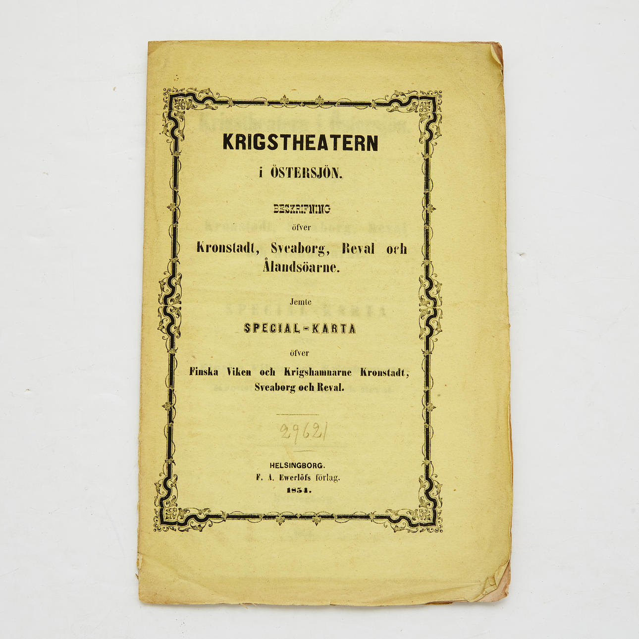
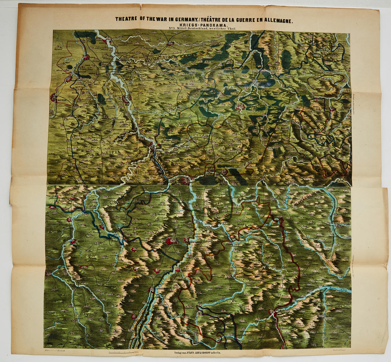
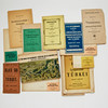
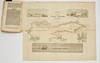
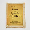
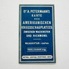
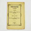
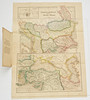
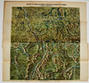
A Collection of war maps, mostly 19th century (a couple early 20th century, including Russo-Japanese War). PETERMANN. Karte des amerikanischen Kriegsschauplatzes zwischen Washington und Richmond. Gotha, 1862. Approx 385 x 450 mm. Folded color lithographed map - Theater of War in the Baltic Sea. Description of Kronstadt, Sveaborg, Reval and the Åland Islands. Jemte special map of the Gulf of Finland and the war ports of Kronstadt, Sveaborg and Reval. Helsingborg, 1854. (8) pp. text + lithographed map, approx. 405 x 500 mm. Stapled in somewhat worn printed cover. The map a little layer stained. - DAHLMAN. Map of the Danish-German war scene. Third edition, supplemented with 2 special maps of the area around Dyböl and Sönderberg and a map of the Dyböl heights on a large scale. Stockholm, (1864). 2 lithographed map sheets, approx. 680 x 500 and approx. 145 x 200 mm. With printed green title label. - IVERUS. Map of Egypt and the scene of war in Suda. Linköping, 1885. About 520 x 410 mm. Folded color lithographed map.
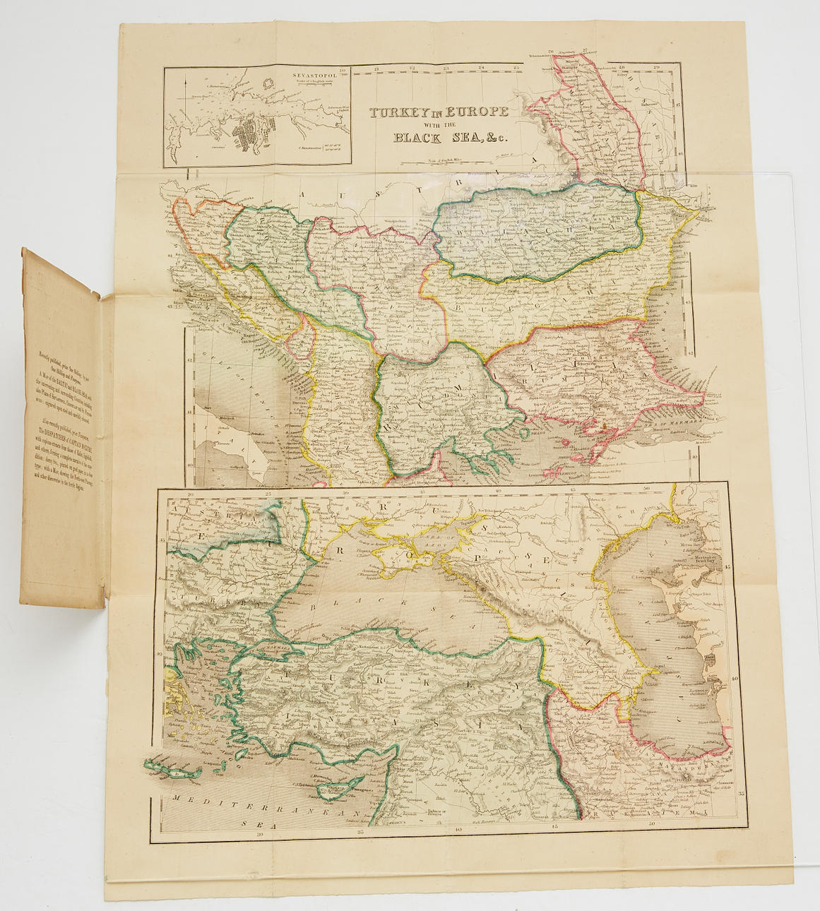
With several, including 6 pcs. issued in connection with the Russo-Turkish war of 1877-78. 13 maps in total.
Condition
Varying degree of wear.
Do you have something similar to sell? Get your items valued free of charge!
Description
A Collection of war maps, mostly 19th century (a couple early 20th century, including Russo-Japanese War). PETERMANN. Karte des amerikanischen Kriegsschauplatzes zwischen Washington und Richmond. Gotha, 1862. Approx 385 x 450 mm. Folded color lithographed map - Theater of War in the Baltic Sea. Description of Kronstadt, Sveaborg, Reval and the Åland Islands. Jemte special map of the Gulf of Finland and the war ports of Kronstadt, Sveaborg and Reval. Helsingborg, 1854. (8) pp. text + lithographed map, approx. 405 x 500 mm. Stapled in somewhat worn printed cover. The map a little layer stained. - DAHLMAN. Map of the Danish-German war scene. Third edition, supplemented with 2 special maps of the area around Dyböl and Sönderberg and a map of the Dyböl heights on a large scale. Stockholm, (1864). 2 lithographed map sheets, approx. 680 x 500 and approx. 145 x 200 mm. With printed green title label. - IVERUS. Map of Egypt and the scene of war in Suda. Linköping, 1885. About 520 x 410 mm. Folded color lithographed map.
With several, including 6 pcs. issued in connection with the Russo-Turkish war of 1877-78. 13 maps in total.
Condition
Varying degree of wear.
Do you have something similar to sell? Get your items valued free of charge!